
Welcome
I really started The Outdoor Gems to share outdoor experiences through photography and storytelling to inspire more people to get outside. If more people got outdoors; took a walk, hike, went snowboarding, sat around a campfire, and surfed in the ocean, I think the world would be a better place.
-Jeremiah
The Latest

Colorado 14ers, Everything you need to know about Hiking Mt Elbert
Not gonna lie the first time I heard about people waking up at 4am to hike mountains greater than 14,000 feet (4267 meters), I thought they were crazy and
Disclosure: When you buy something through the Affiliate product links I have created below, I earn a small commission. I only promote products and companies I support as well as believe in.
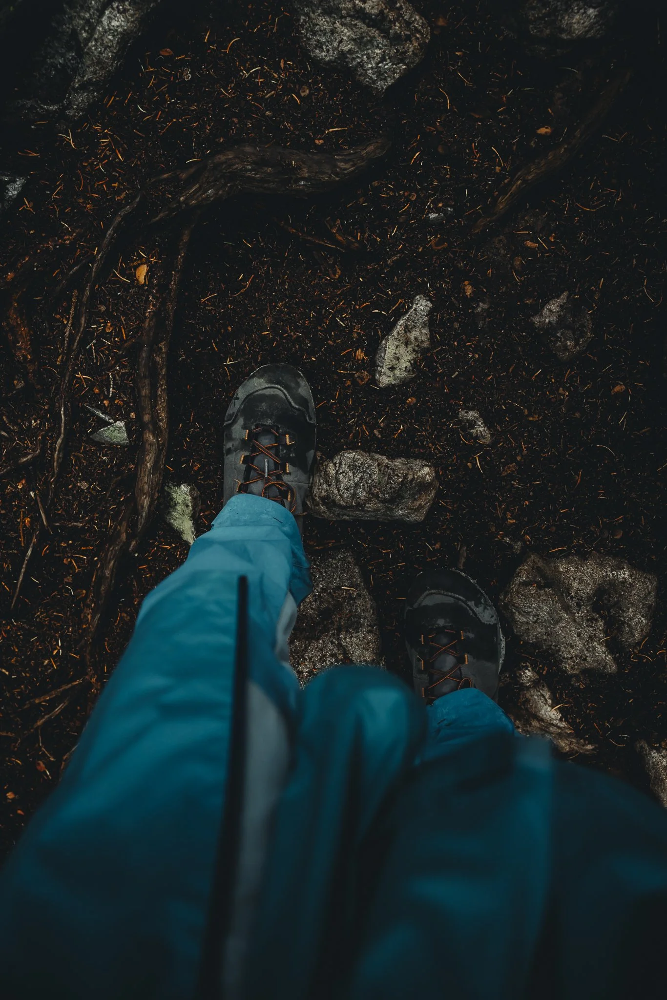
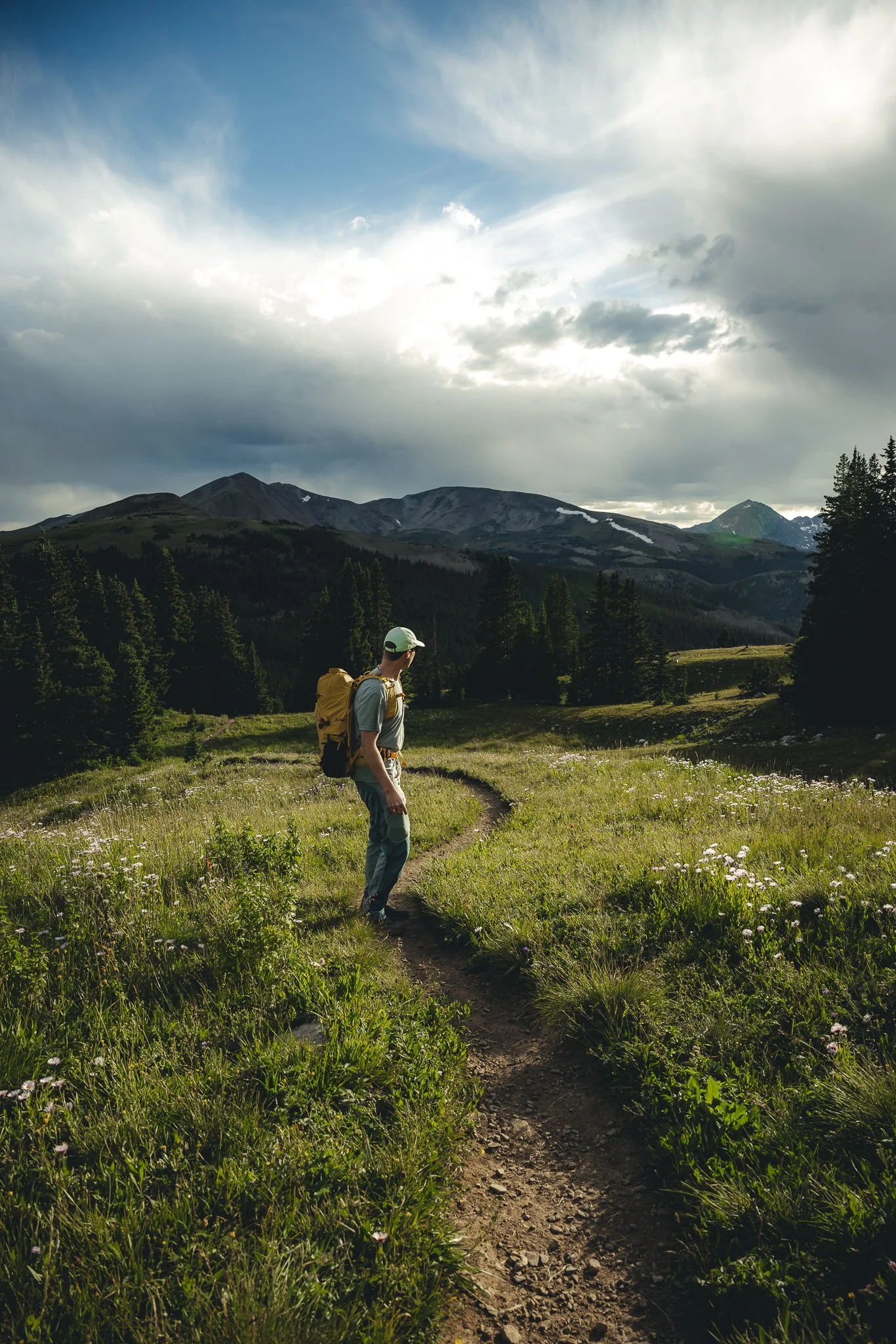
Not gonna lie the first time I heard about people waking up at 4am to hike mountains greater than 14,000 feet (4267 meters), I thought they were crazy and it wasn’t something that I would ever even consider doing. However, as I spent more time living in Colorado and hearing about 14ers I became intrigued and decided to hike one. With Elbert being my second 14er it was also one of the hardest hikes I’ve done, yet very rewarding when you make it to the summit. What I liked most about this hike is the variety of terrain and views you get, along with a designated trail all the way to the summit.
Mt Elbert is the highest peak in Colorado and the second highest in the lower 48 of the United States, standing at 14,443 feet (4,402 meters). The first being Mt Whitney in California, which stands at 14,505 feet (4,421 meters). If you’ve ever wondered what it’s like to hike a mountain this tall this guide is for you. With that being said, in this post I’ll go over where Elbert is located, how to get there, what the hike is like, what to know, and preparation/packing tips. Alright lets goo.
Where is Mt Elbert and how many routes are there to the Peak
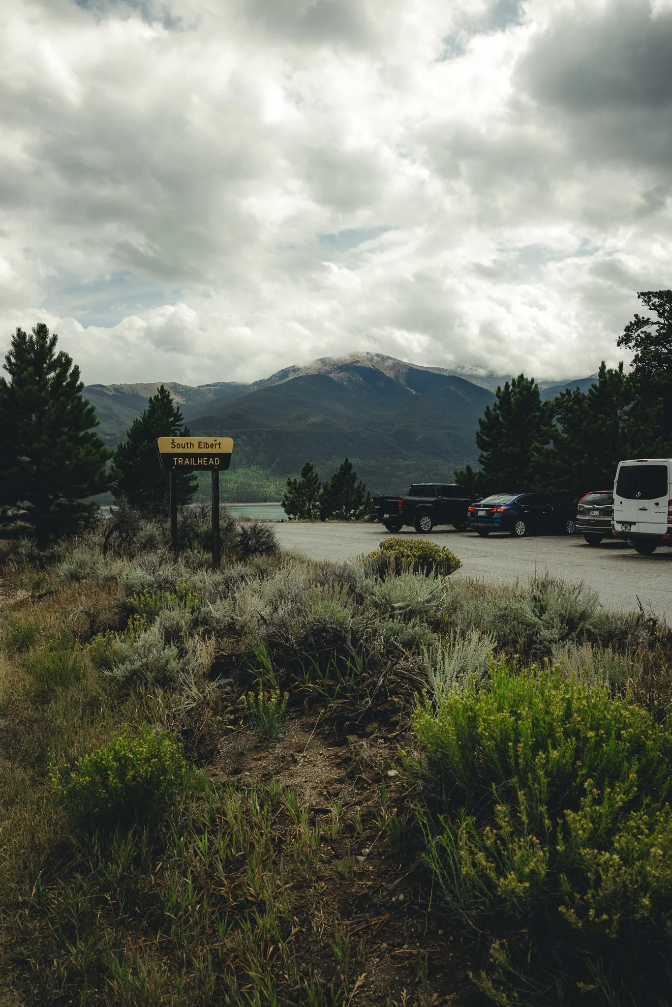
Elbert is located in the small town of Twin Lakes Colorado not far from Leadville or even Aspen. No matter where you’re driving from you end up on CO 82 that takes you through Twin Lakes and Ultimately Aspen, if you were to keep driving. There’s three different routes, but after reading reviews on All Trails it was clear that the East Ridge Route was the better trail to take. Below, I’ve listed times and distances from major areas to the South Mount Trailhead. You’ll need AWD with High Clearance if you want to park at the East Ridge Trailhead. I recommend parking in the South Mount lot and then hiking to the East Ridge trailhead.
Denver- 2 hours 15 minutes/115 miles/185 km (If I70W is congested take 285 South)
Summit County- 1 hour and 15 min/53 miles/85 km
Leadville- 25 min/22 miles/35 km
Aspen- 1 hour and 15 min/39 miles/63 km
Vail- 1 hour and 8 min/63 miles/101 km

Trail Stats
As mentioned, there’s three main routes that will take you to the peak of Elbert, each w/ different mileage for the hike. These routes are the East Ridge, Southeast, and North Mount Trails. Not only did the East Ridge route get great reviews on All Trails, but it also seemed to have better parking. For the Southeast route there isn’t really a designated parking lot and the North Mount trailhead will be North of Twin Lakes on the other side of Elbert. Reviews on Alltrails also does a great job of giving you an idea of what each route will be like. Below I’ve listed stats for each trail to the summit.
North Mount
Trail type- Out and Back
Length- 10.4 Miles (17 km)
Elevation Gain- 4,468 feet (1,362 meters)
East Ridge
Trail type- Out and Back with a loop towards the beginning/end of the hike
Length- 14.7 miles (24 km)
Elevation Gain- 4,895 feet (1492 meters)
South East Ridge
Trail type- Out and Back
Length- 11 miles (18 km)
Elevation Gain- 5,111 feet (1558 meters)
What is parking like
There are parking lots for the North Mount, South Mount, and East Ridge trail head starting points. As mentioned earlier the East Ridge Trailhead requires AWD and High Clearance and will be a dirt lot while the North Mount and South Mount lots are paved. Starting the hike at the South Mount Trailhead will eventually lead you to the East Ridge Trailhead (somewhat confusing, but will make sense if you do this hike)The Southeast Ridge Trailhead is somewhat off the beaten path and doesn’t really have designated parking.
On weekdays these lots won’t fill up too much, however on weekends when the weather is good, I can imagine them filling up. The earlier you get to the parking lot the better!
Is the hike Difficult
The short answer is Yes, this is a pretty difficult hike, especially towards the very top where this isn’t much oxygen, but a lot of elevation gain. Before you hike Elbert I would recommend doing some easier hikes in Colorado with less mileage and elevation gain. Also make sure to pack enough water and take breaks when needed. Listen to your body and don’t over due it!
Best time of year to hike this trail
Because of how long winters are in Colorado the Best time to hike this 14er would be late May to Late September, weather dependent. Snow can sometimes still cover trails as late as mid-late May. Although it melts pretty quickly, I’ve still seen it snow over a foot in May a number of times.
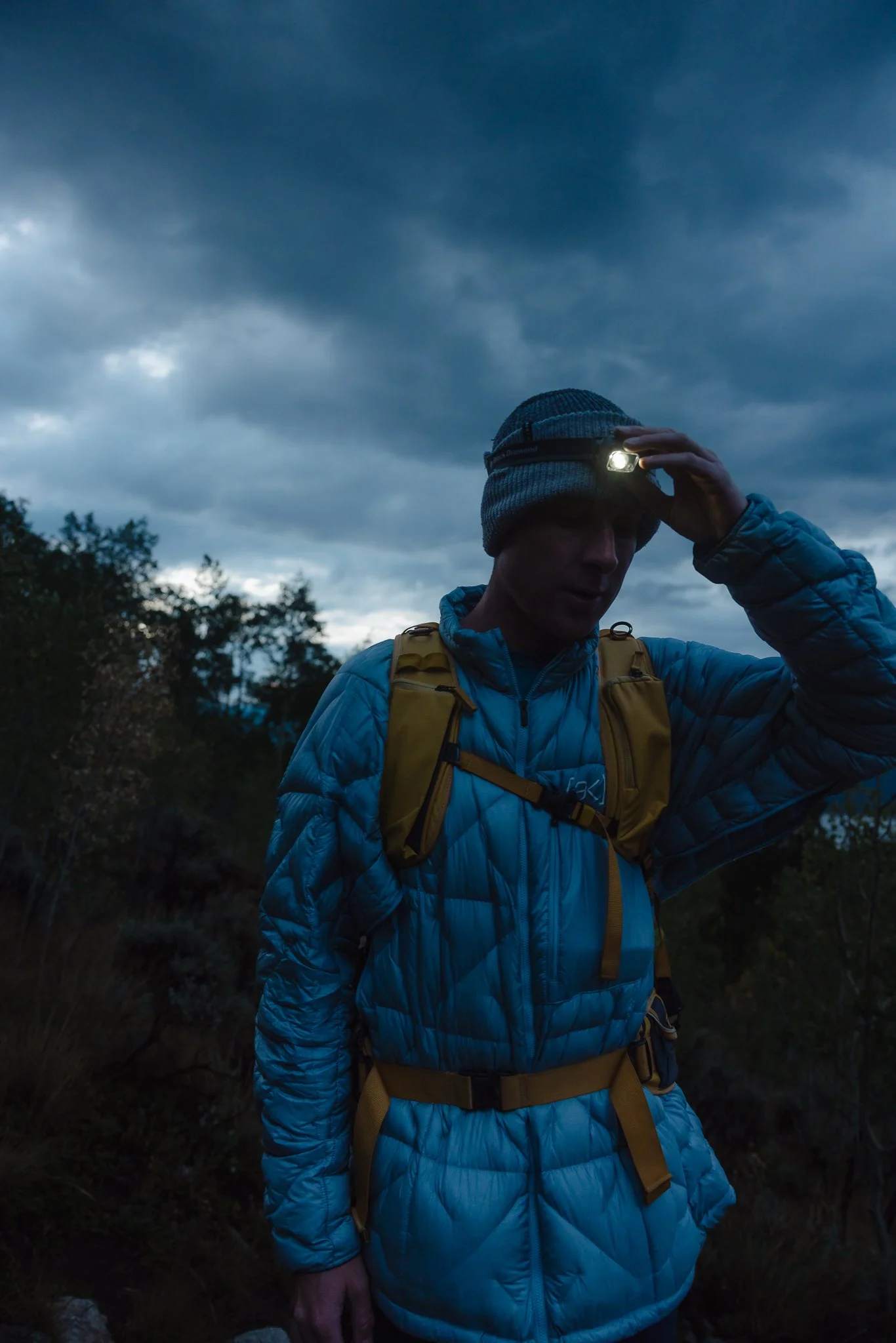
The best time of day to hike this trail is EARLY. Due to the fact that thunderstorms can pop up in the afternoon you typically want to reach the summit by noon. I would try to get to the trailhead by 5am and no later then 7am. Depending on which route you take, the East Ridge route takes about 9.5 hours round trip meaning you have to start hiking as early as possible.
Trail Details and what we should Expect
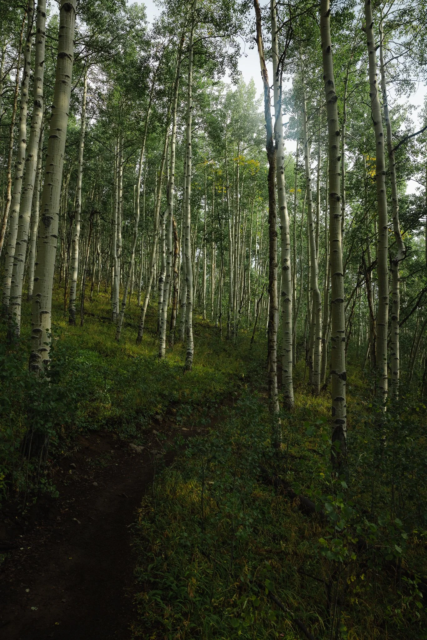
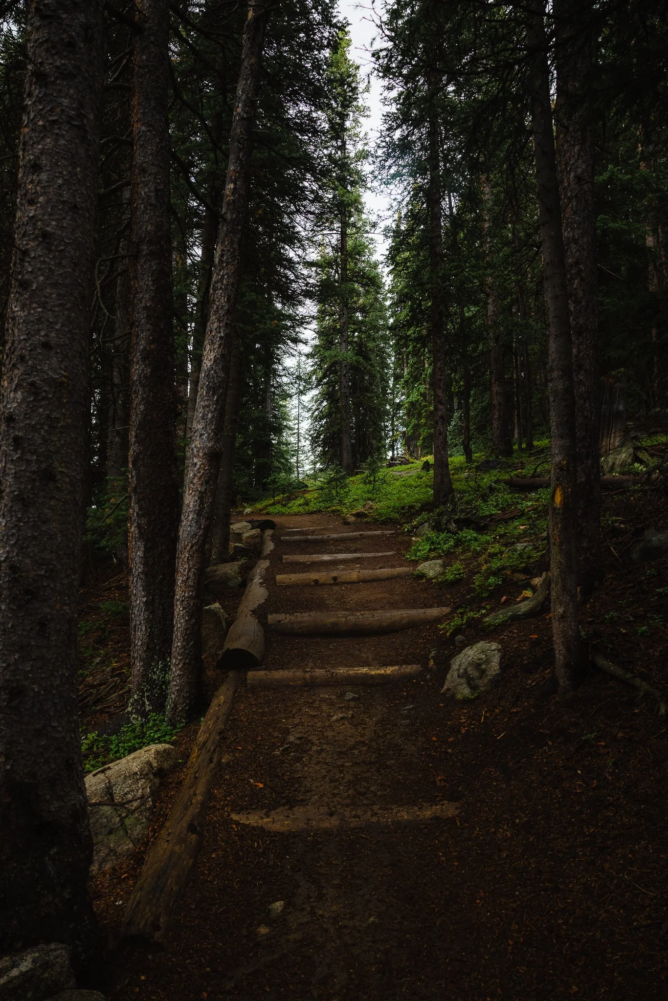
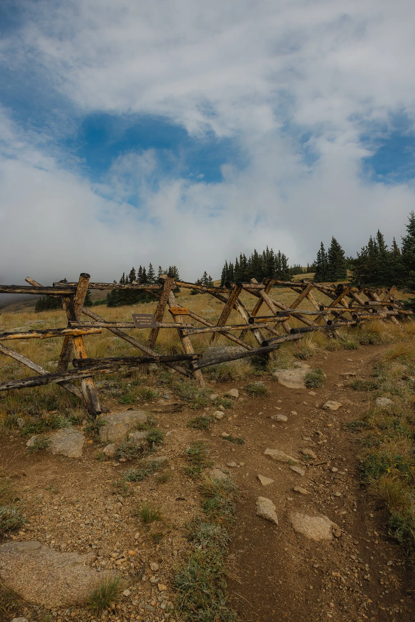
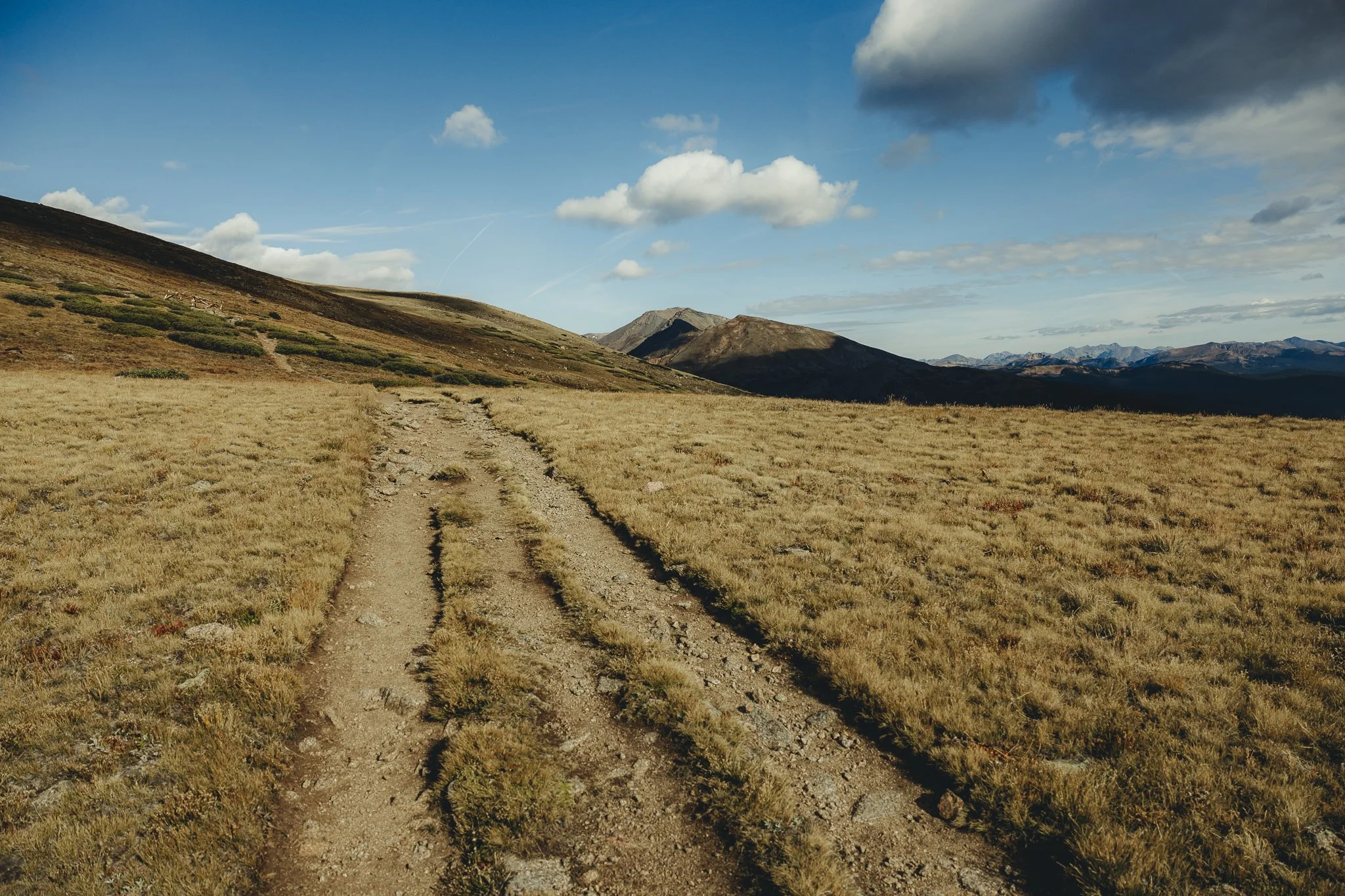
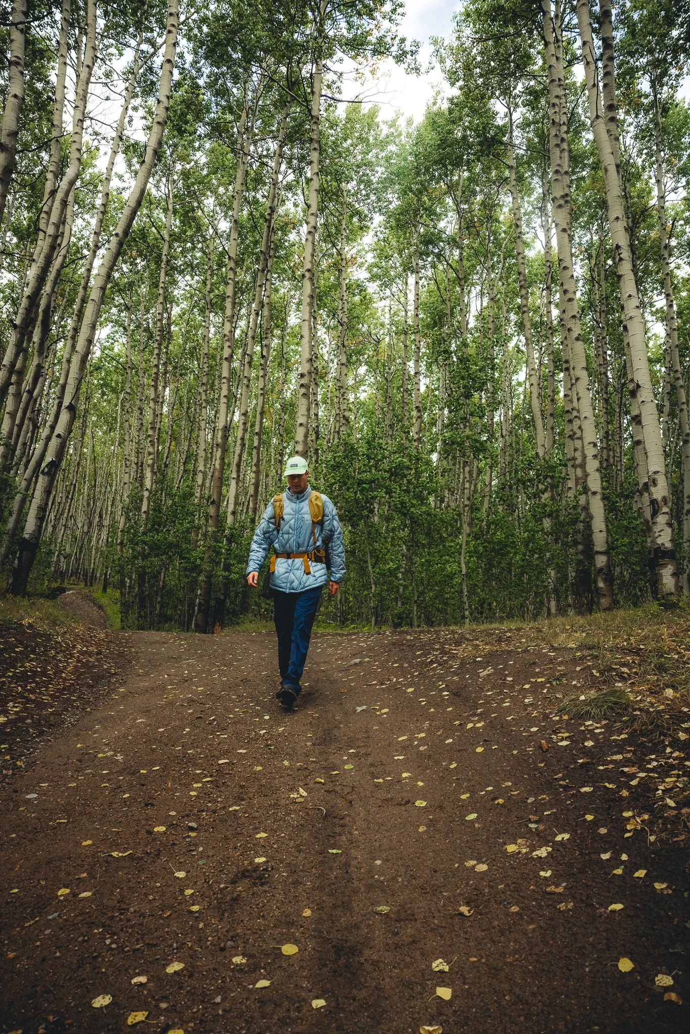
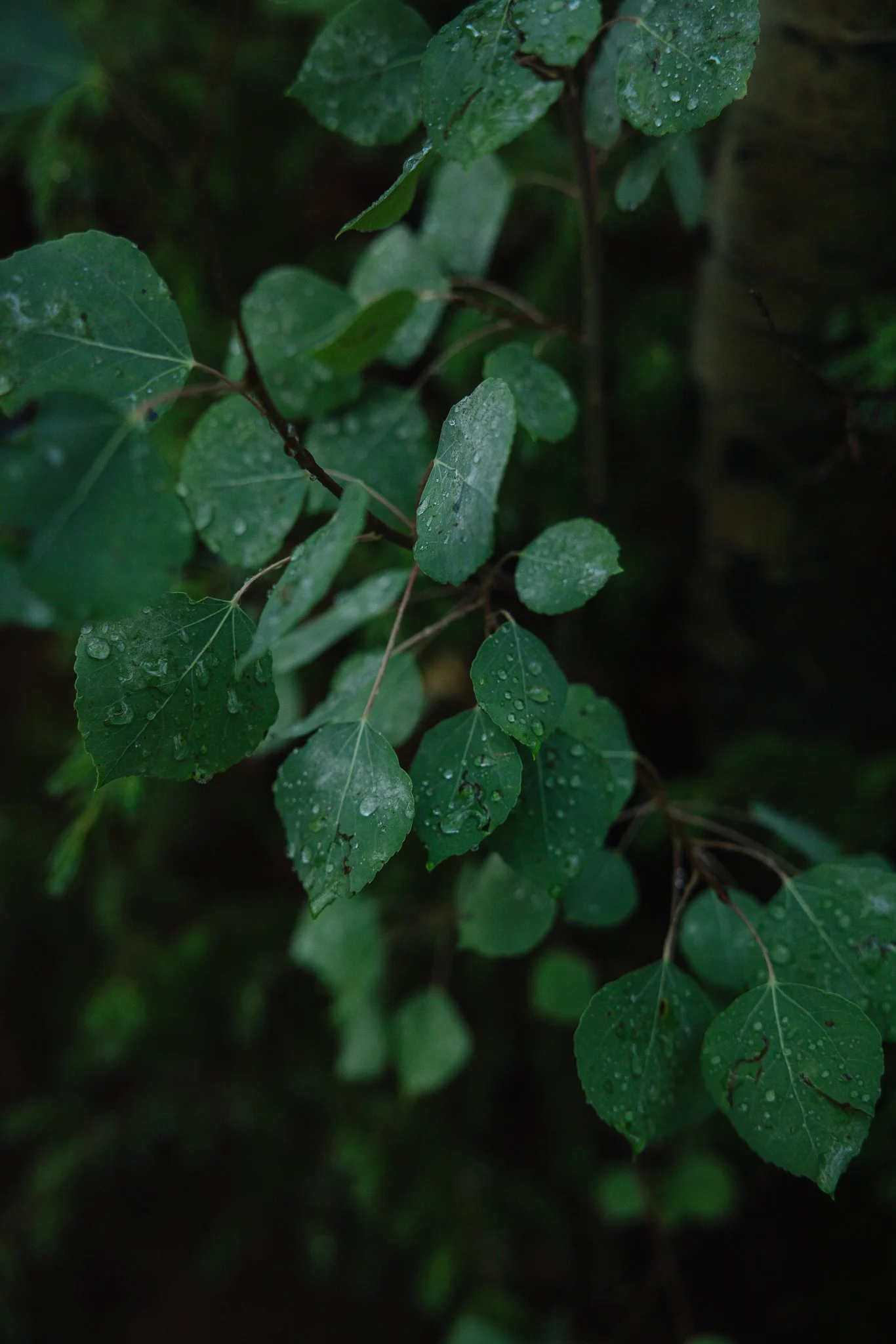
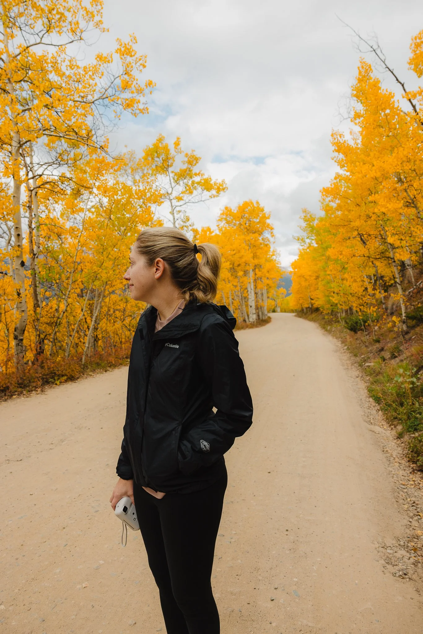
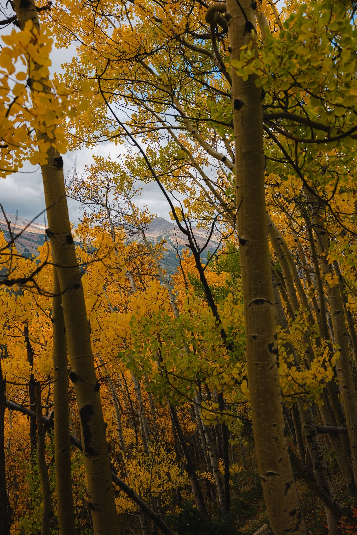
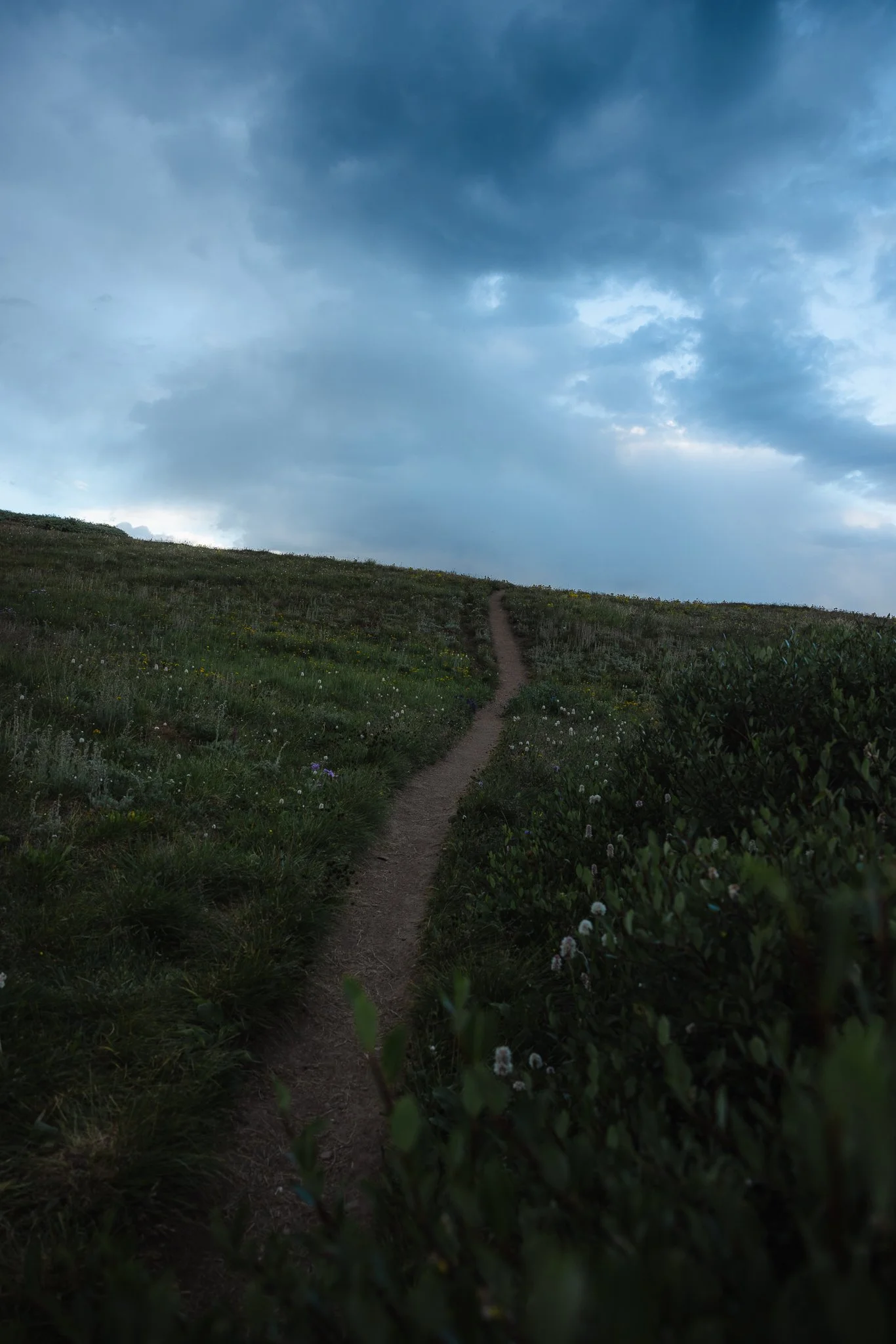
What I really like about this trail is the variety of terrain it had to offer throughout the hike. If you park in the South Mount Trailhead lot you’ll start the hike on a narrow trail that ends up taking you through some Aspen Trees. During a sunrise when the light starts to peak through the trees it’s pretty cool. The beginning part of this trail is also part of the Bartlett Gulch Loop trail.
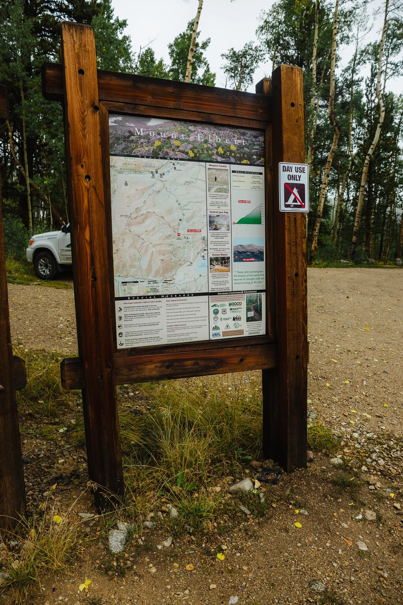
Once you Hike through the Aspens you’ll eventually reach the East Ridge Trailhead with a parking lot. This is really the start of the trailhead and you’ll start to walk through Alpine forests at this point. As you start hiking you’ll want to stay on the S. MT. Elbert TR. No 1481. You’ll also notice on the sign -> Lily Ponds. This is a cool little detour spot to take a break if needed. It’s a tiny pond with some man made areas to sit. I checked it out on the descent back down.
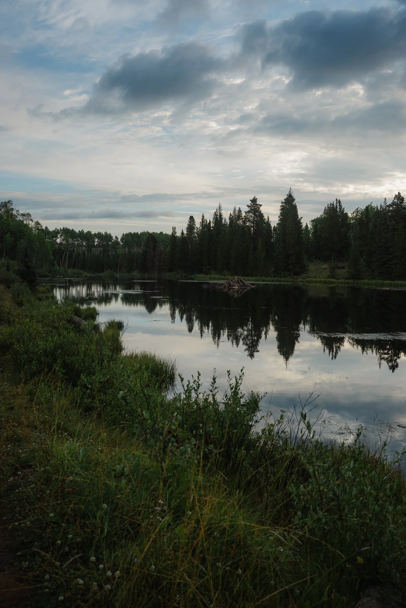
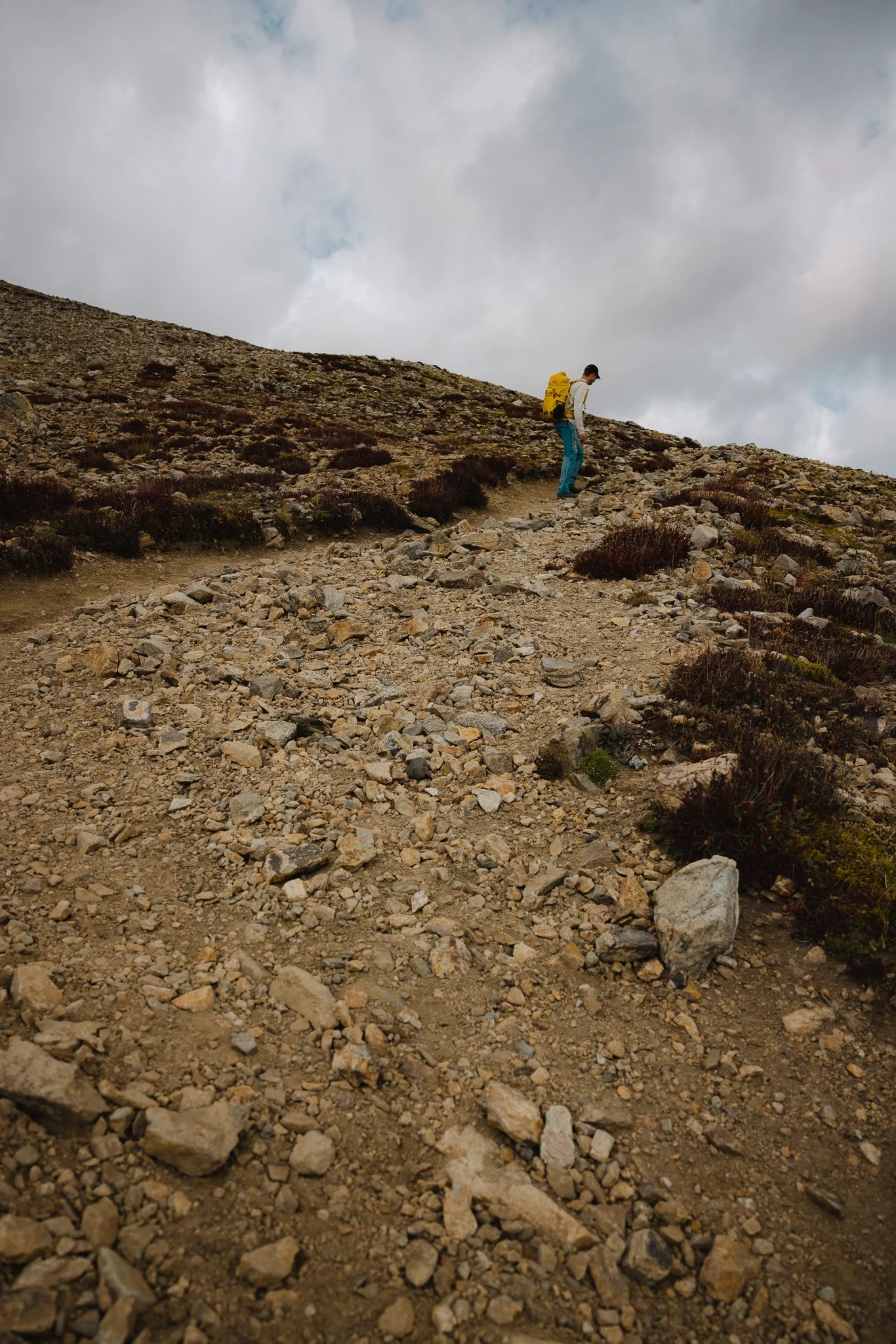
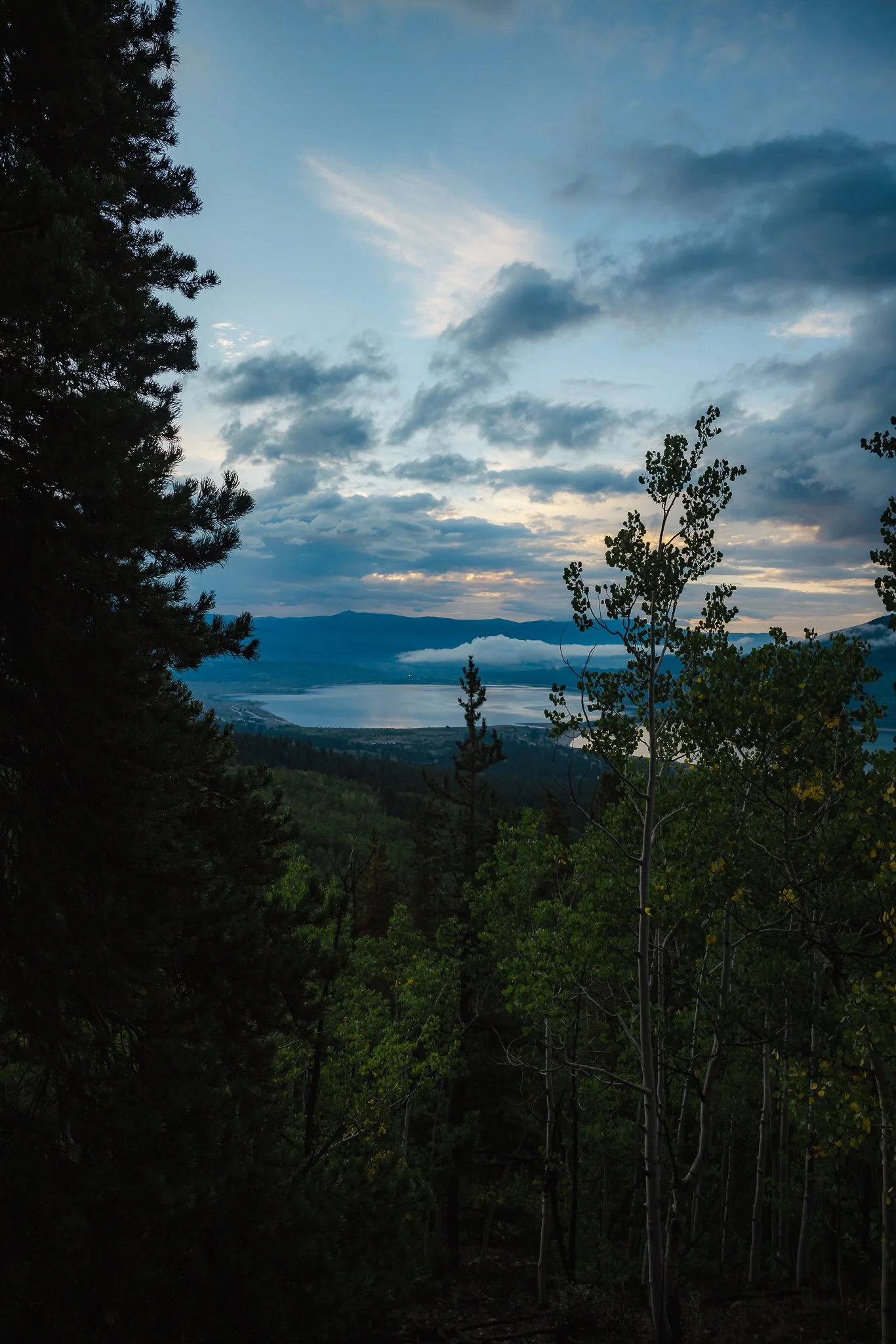
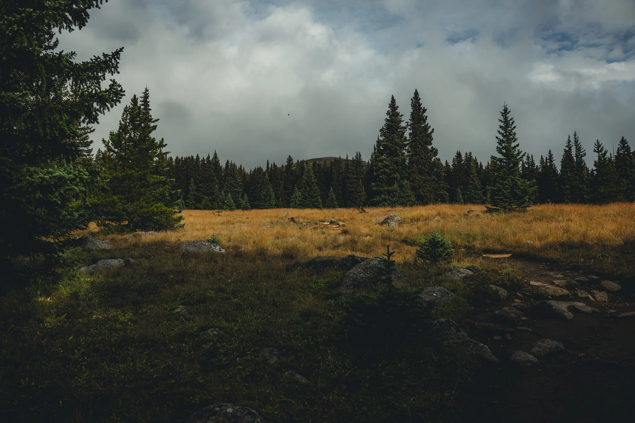
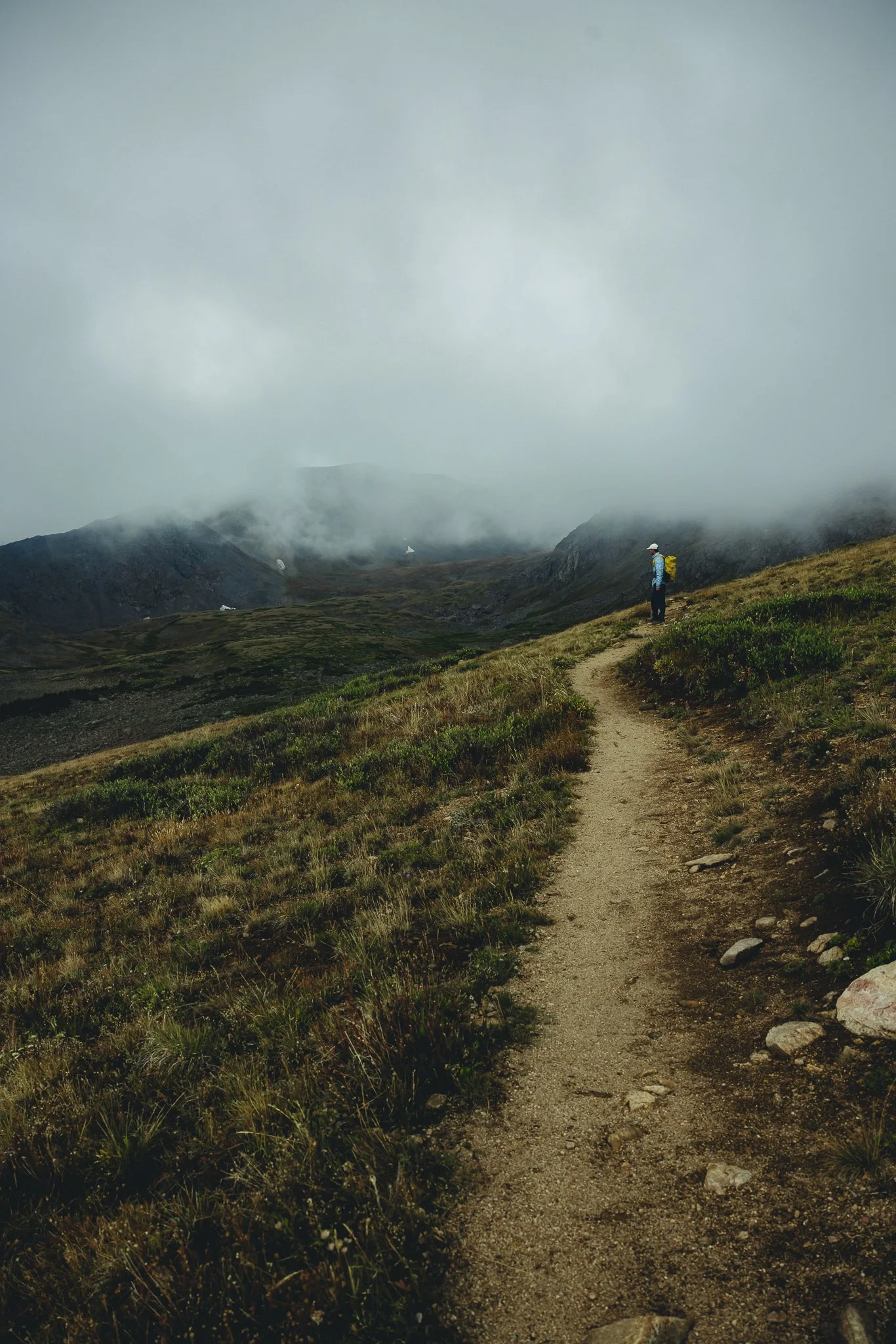
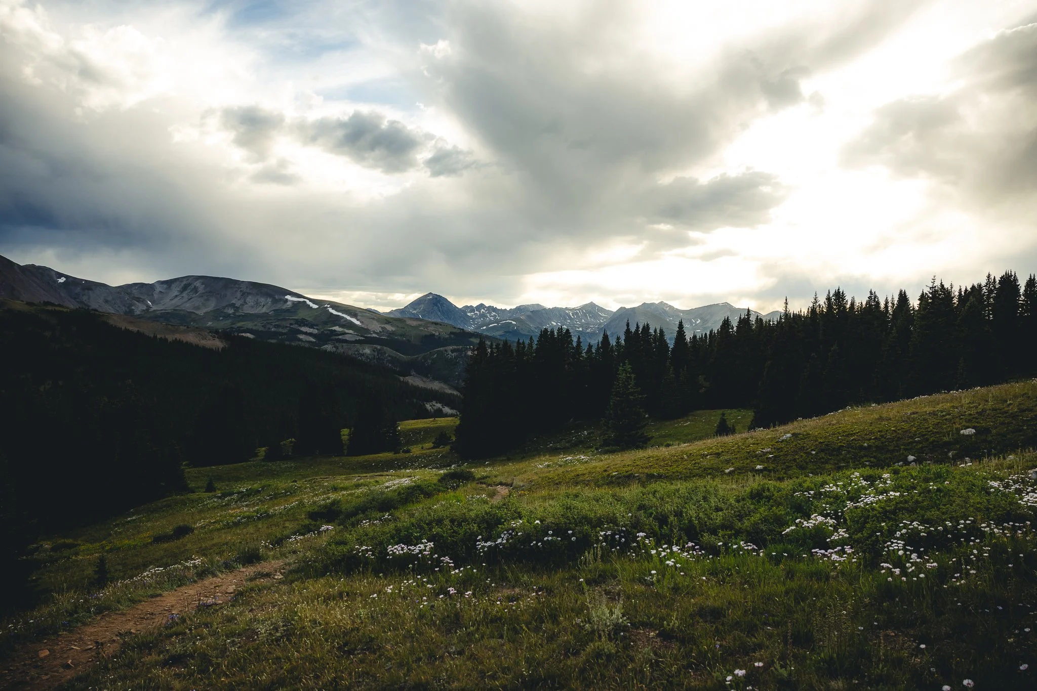
As you start to hike from the East Ridge Trailhead you’ll continue to walk through the woods for a little longer, coming across a stream or two along the way. The elevation gain starts to pick up at this point and you’ll pop out of the trees with amazing views of Twin Lakes down below. By this point your getting closer to getting above tree line which is a little over 4 miles into the hike and 11,800 feet elevation.
Don’t worry about getting lost because the trail is well marked.
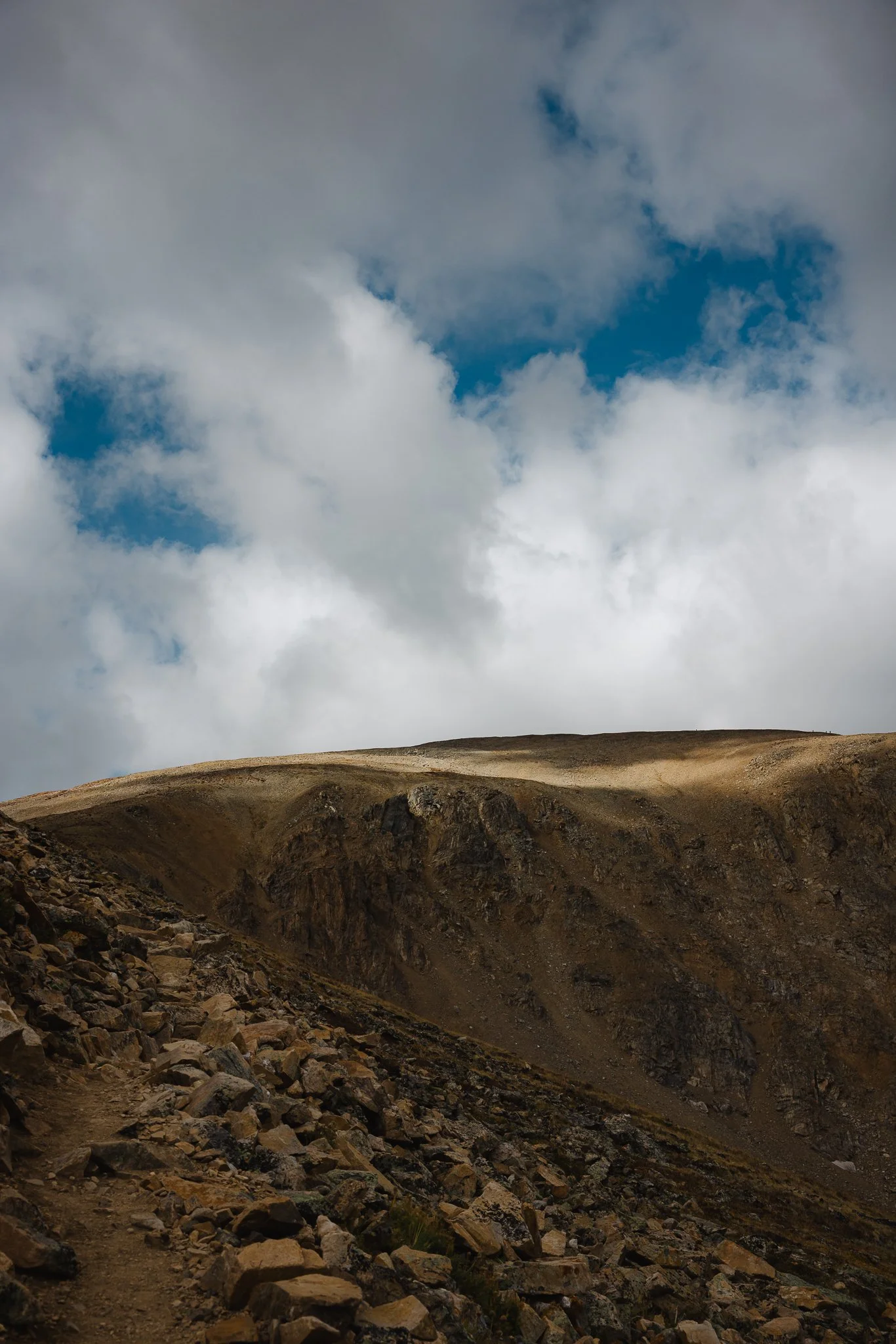
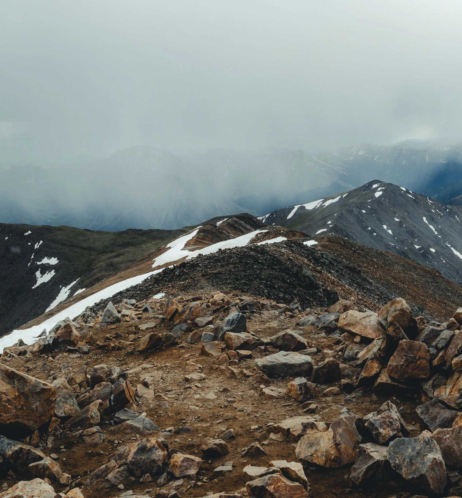
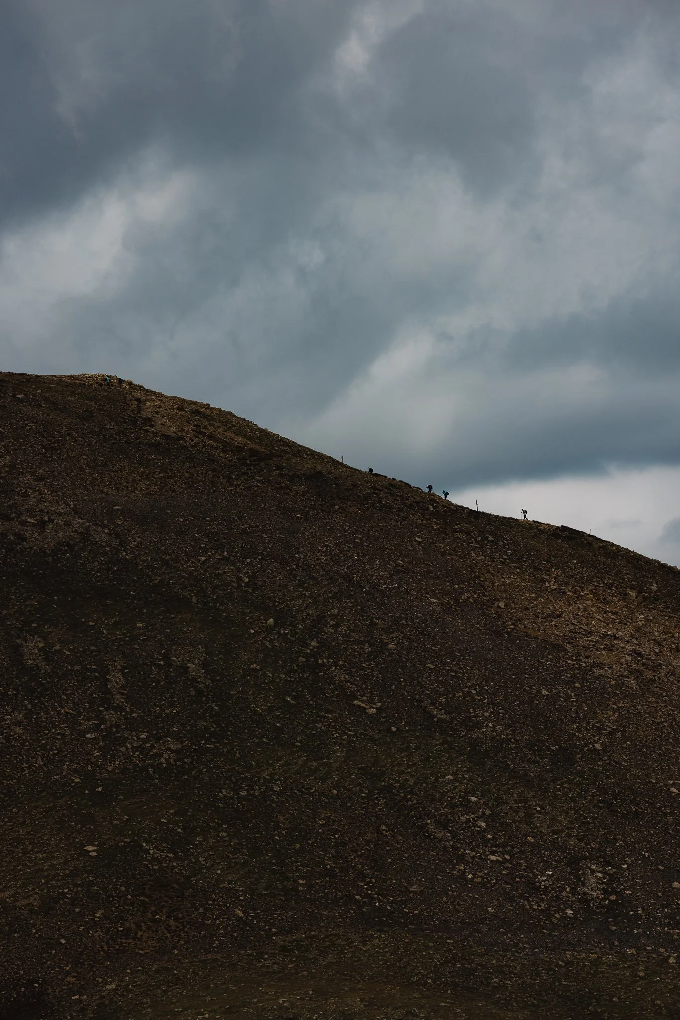
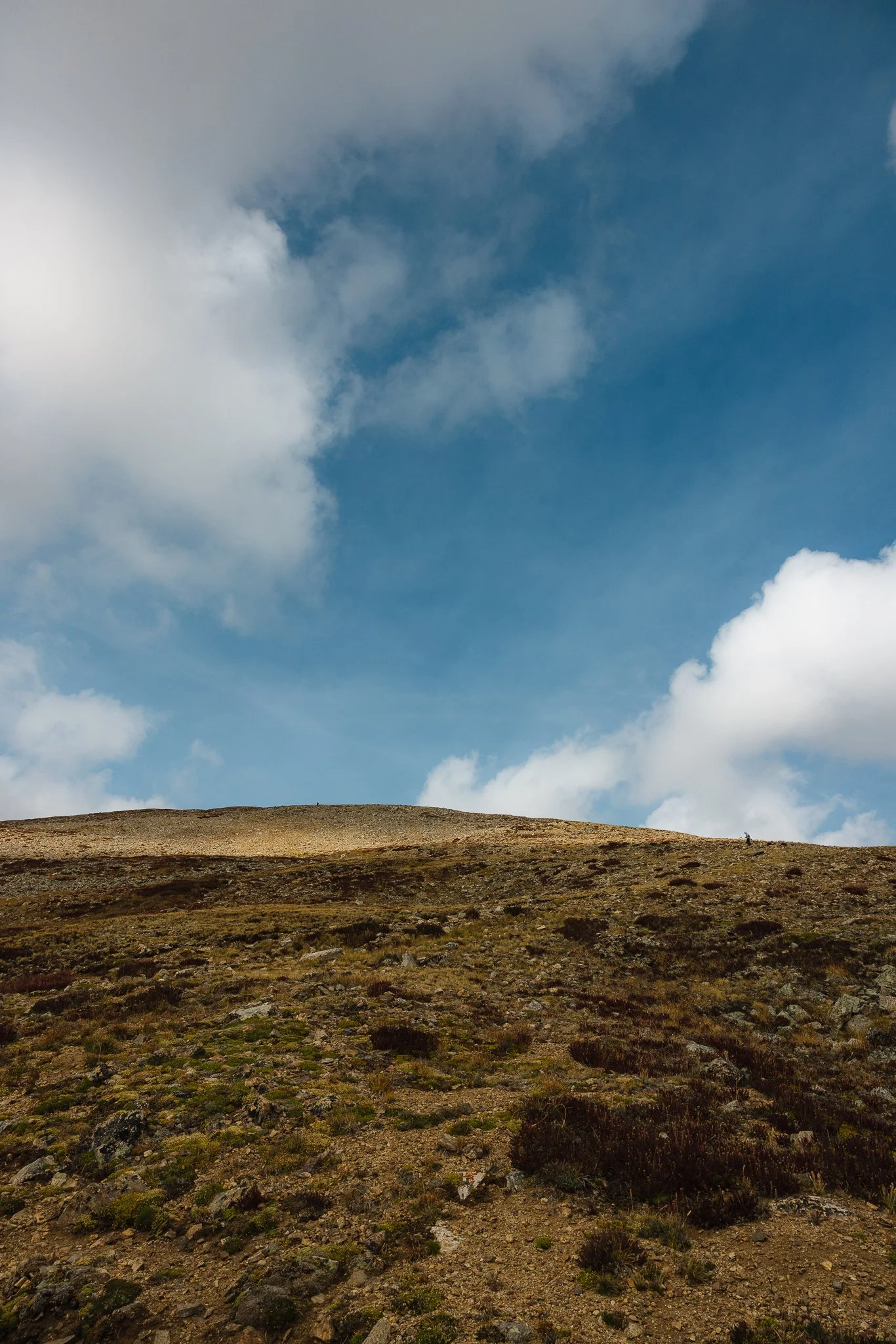
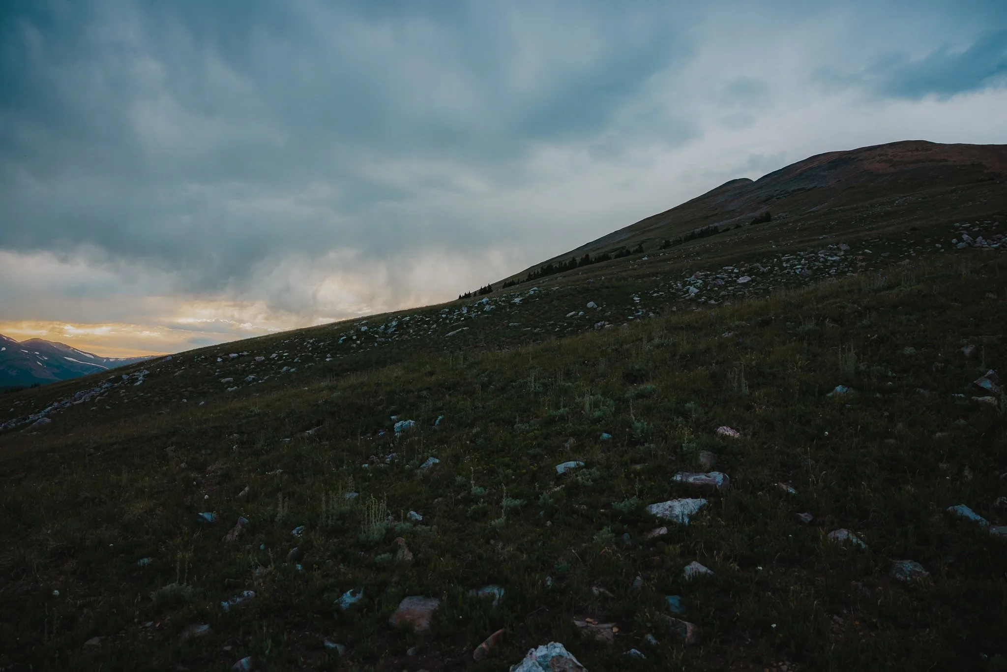
As you start to get above tree line you will encounter a number of switch backs until you reach the peak. This is honestly when the hike was the most challenging, but if you take breaks and go at a pace that you’re comfortable with the hike is doable. As you get to the top you might even encounter snow, even in July.
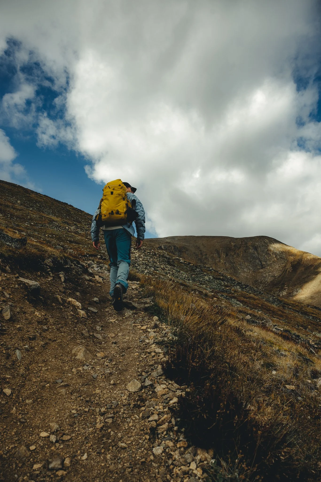
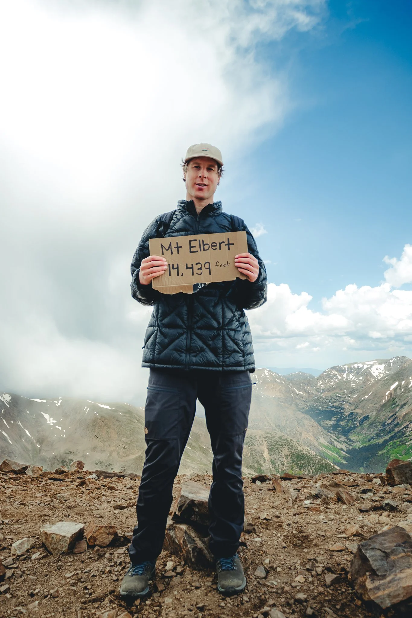
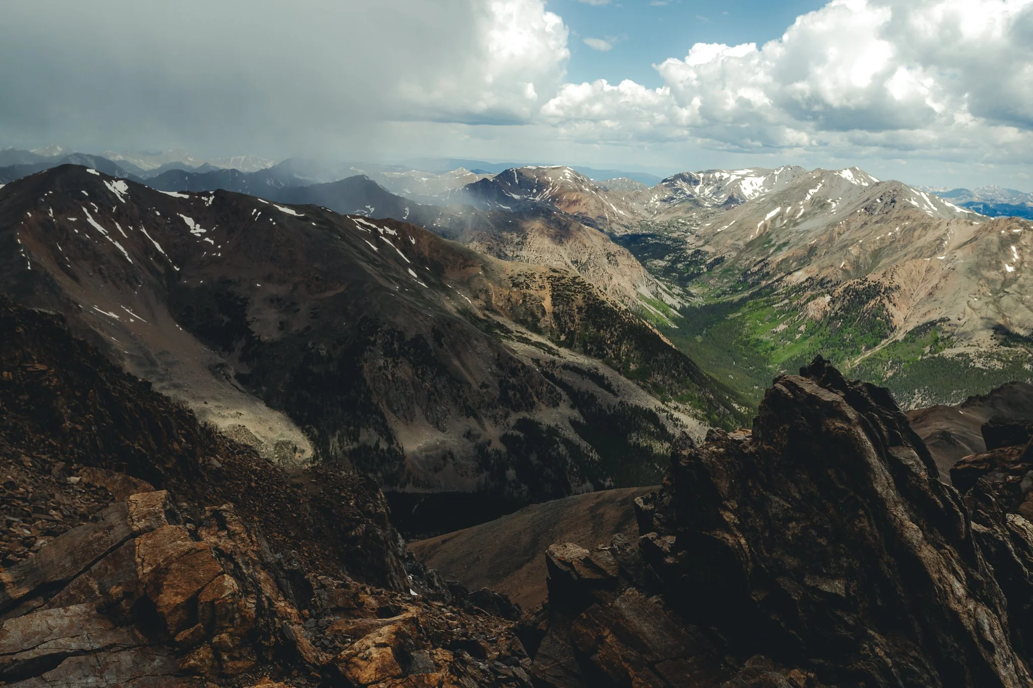
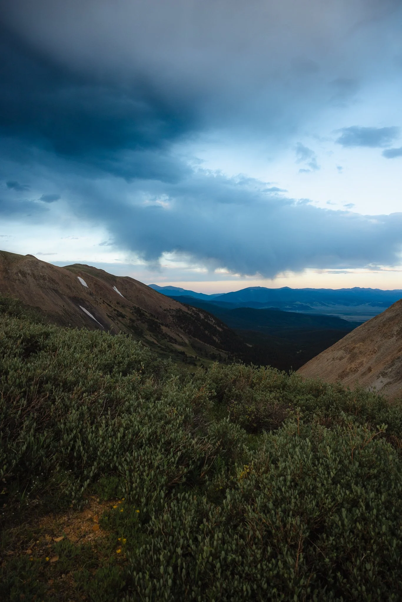
Once you make it to the top, congrats you’ve hiked all the way to 14,439 feet or 4,401 meters. Grab some photos at the top and take in the amazing views of the Sawatch mountain range. There’s a chance that weather can roll in right around the time you reach the summit, make your own judgement call, but I wouldn’t hang out for too long at the summit if that is the case.
The Descent
On the way back towards the end of the hike I took the service road instead of the trail because it will be a faster way to get to your car since the hike is pretty long.
Are there any False Summits
I didn’t experience any on the East Ridge Trail, but I read that there are a couple on the North Mount trail. If you’re like me and aren’t the best at reading maps downloading an app like All Trails will be helpful in preventing you from going off trail or taking a wrong turn. Bad cell service?, download the trail on your phone ahead of time to navigate the hike when needed.
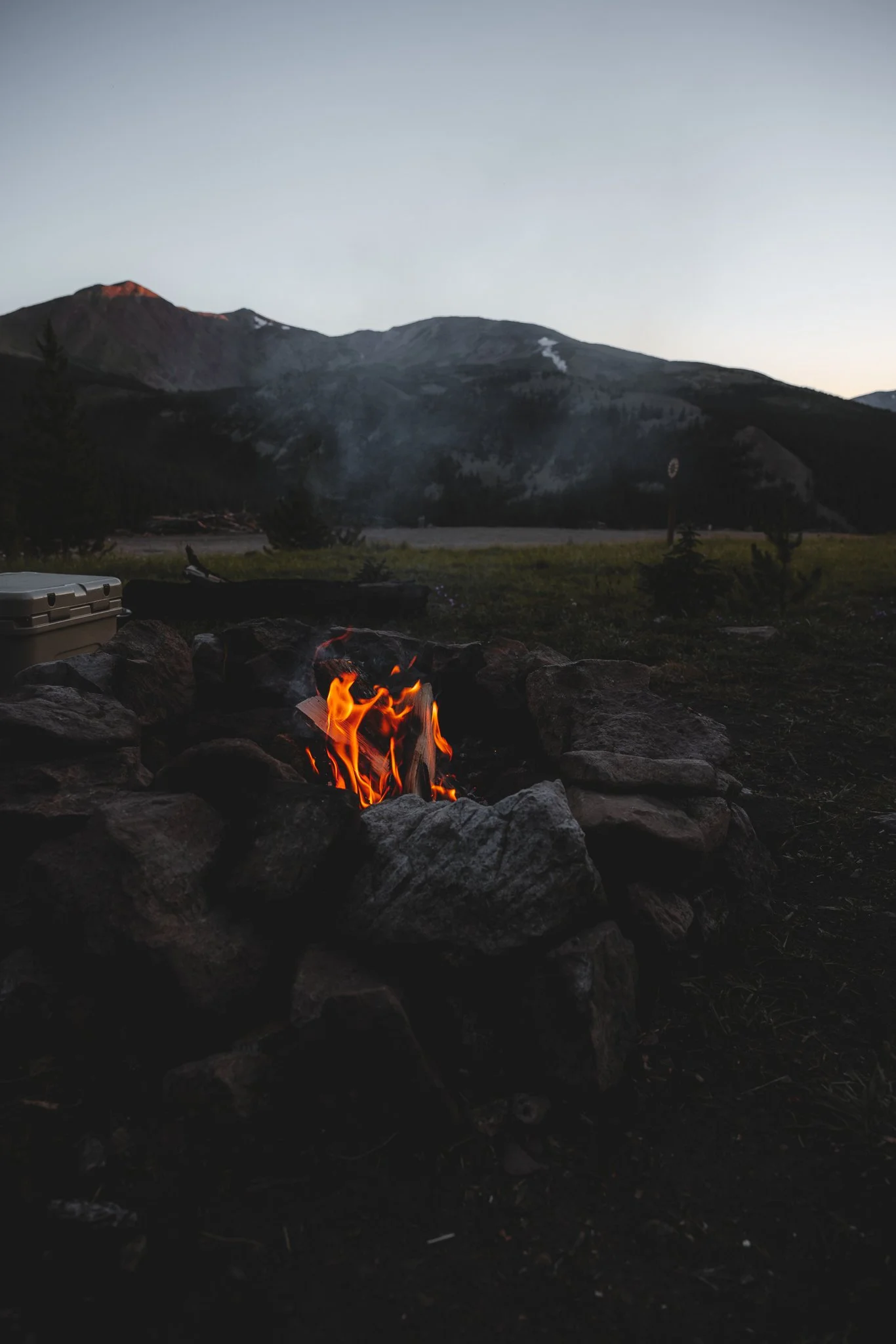
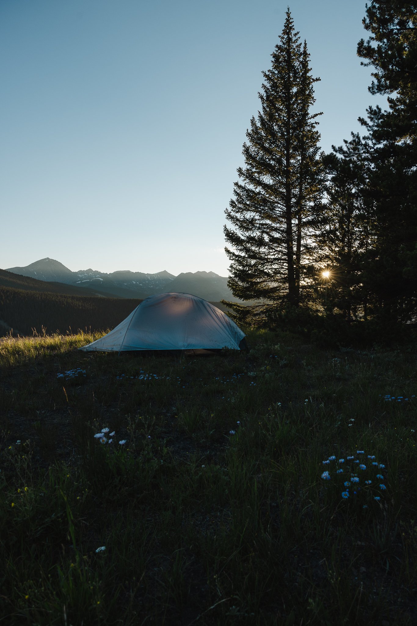
Is there camping nearby
Yep, there is some awesome campgrounds either right on the lake or close to the Lake. The closet campground to the South Mount trailhead is the Lakeview Campground. There’s also BLM camping close to the trailhead. Other campgrounds in the area include White Start and Dexter Point. You can visit recreation.gov to make a reservation in advance. Weekends tend to book out pretty early and weekdays are a little more open.
Not into camping? There is also lodging nearby that you can book through VRBO.
Is this a crowded trail
Depending on the time of year and what day of the week you go, I would say weekdays aren’t very crowded. I only saw a handful of people as I made my way to the Summit and almost no one on the hike down. That being said 14ers continue to grow in popularity each year, so I would arrive to the parking lot as early as possible. The Southeast Ridge route is an alternative route if you don’t want to deal with more people while hiking. Keep in mind that there isn’t really a parking lot for this trailhead.
Do you need a permit
You do not need a permit to hike Elbert or a parking pass
Any recommended websites to check the weather forecast ahead of time
Noaa or Mountain Forecast are great online resources to check weather ahead of time when going on hikes or doing anything outdoors.
What Class 14er is Elbert
Elbert is considered class 1, meaning it has a designated trail all the way to summit. The class system (1-5) goes from a Hiking trail to scrambling (using hands to navigate up boulders) to technical climbing.
Any Downsides to this hike
The only downside I experienced was the number of switchbacks towards the summit. Other then that amazing views, not many people on the trail, easy to access parking, and plenty of camping options in the area.
What are the best tips for hiking a 14er
Start with smaller hikes first that have less mileage and lower elevation gain, use All Trails to look for local hikes in your area or your destination of choice
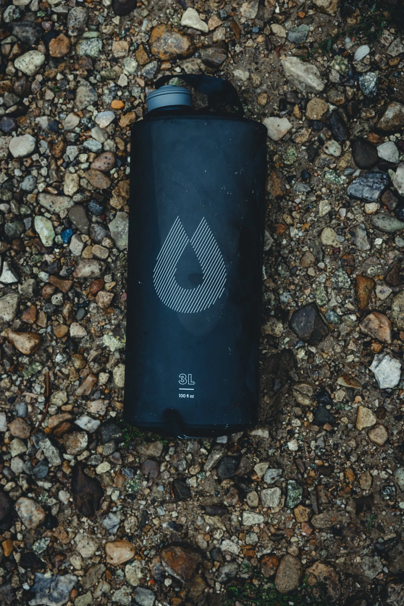
Pack enough water, but not too much that the weight is overbearing while hiking. I use a Hydroflask as well as a Hydrapak when hiking 14ers.
Start hiking EARLY. Waking up at 3:30am isn’t ideal, but ALWAYS worth it. Plus, weather can roll in at any moment in the afternoon so you want to reach the summit as early as possible.
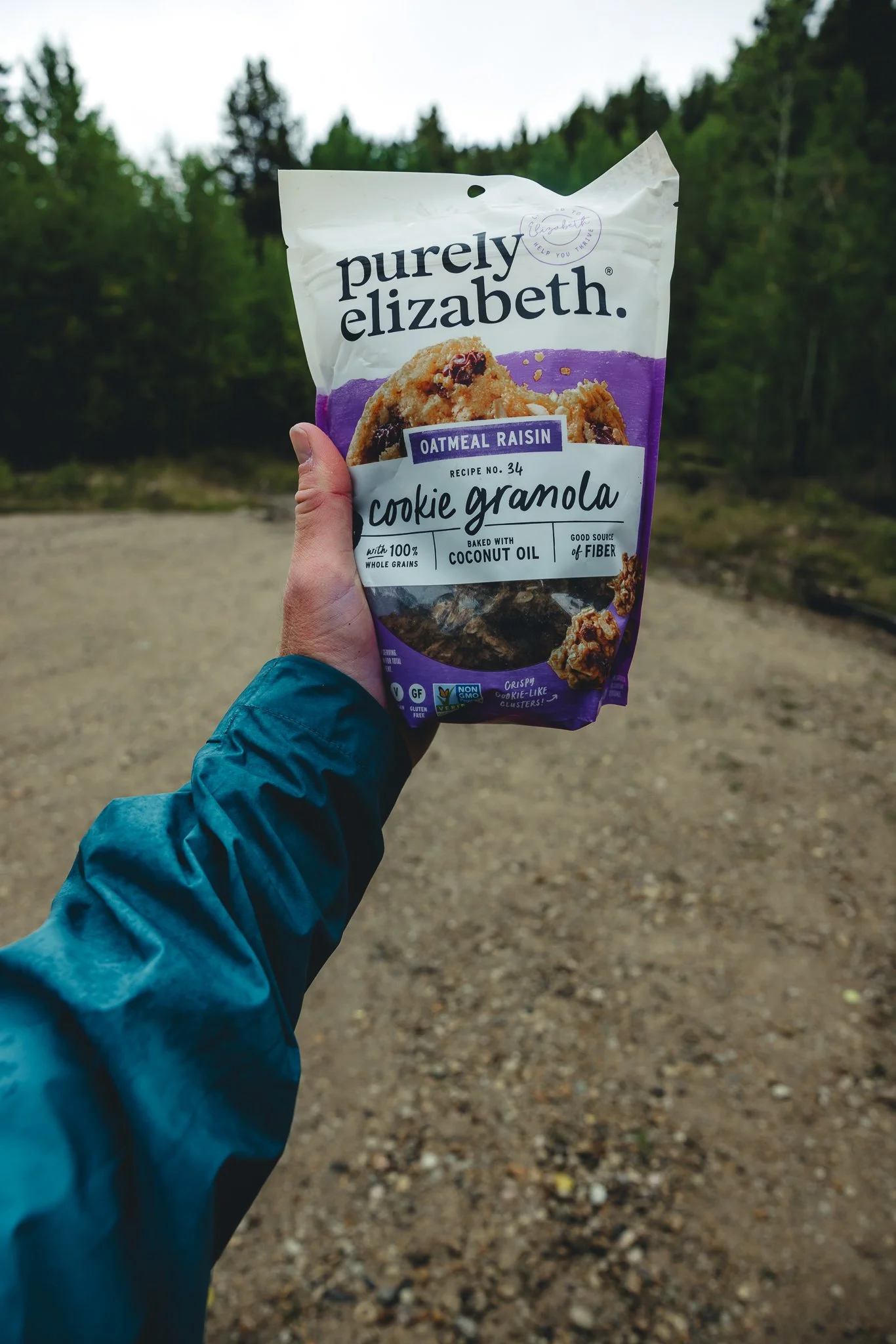
Pack Snacks that will give you fuel while you hike
Make sure to pack a rain jacket, extra layer, and hiking pants or shorts for when the weather changes
I don’t own a pair of hiking poles, but I would highly recommend using these as they are an added bonus
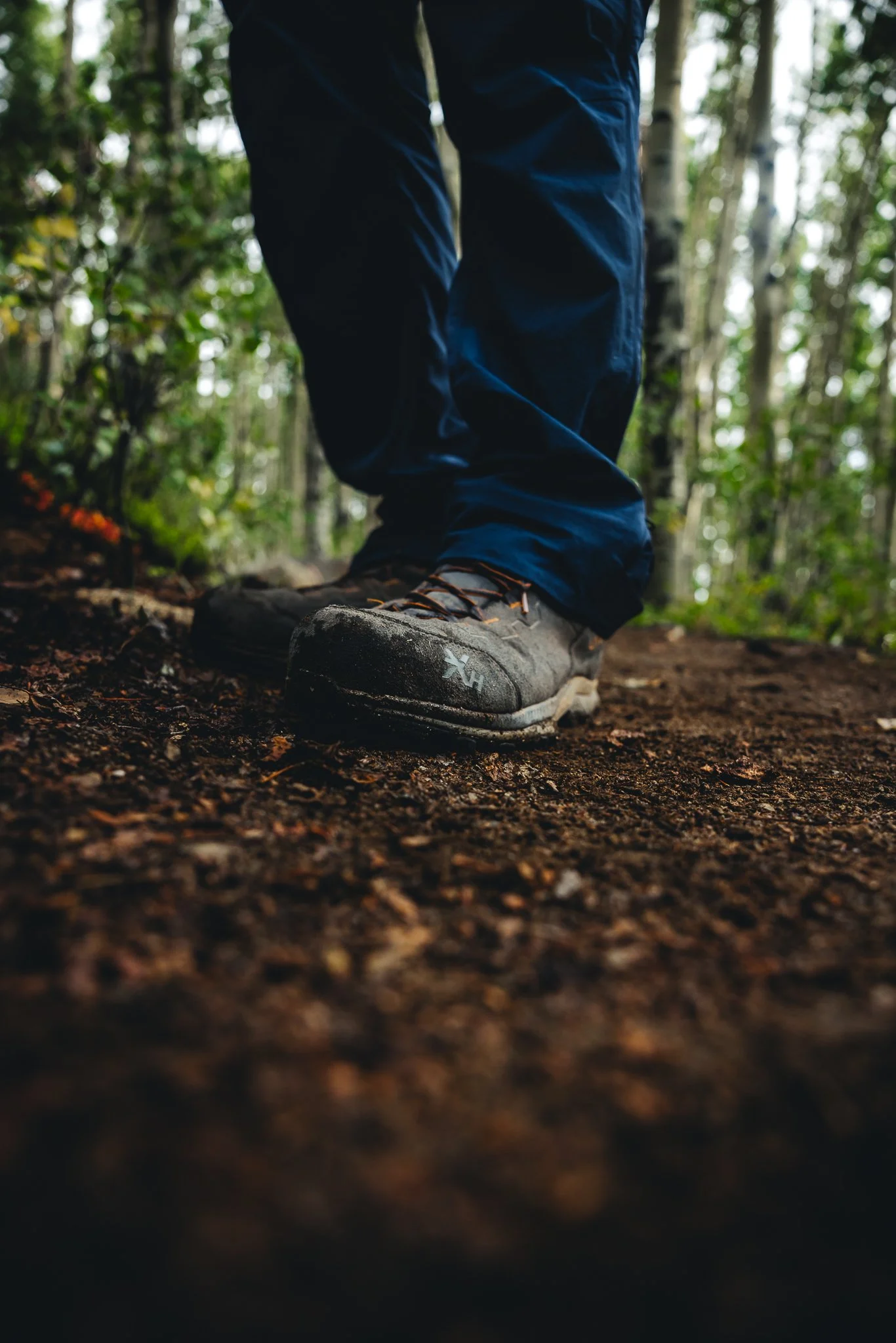
Only use a good pair of hiking boots with great traction and support
Go at your own pace, not only will you enjoy the hike more, but your body will thank you later
Pack out what you packed in by not leaving any trash or waste behind
Have fun and be ready to push yourself physically and mentally!
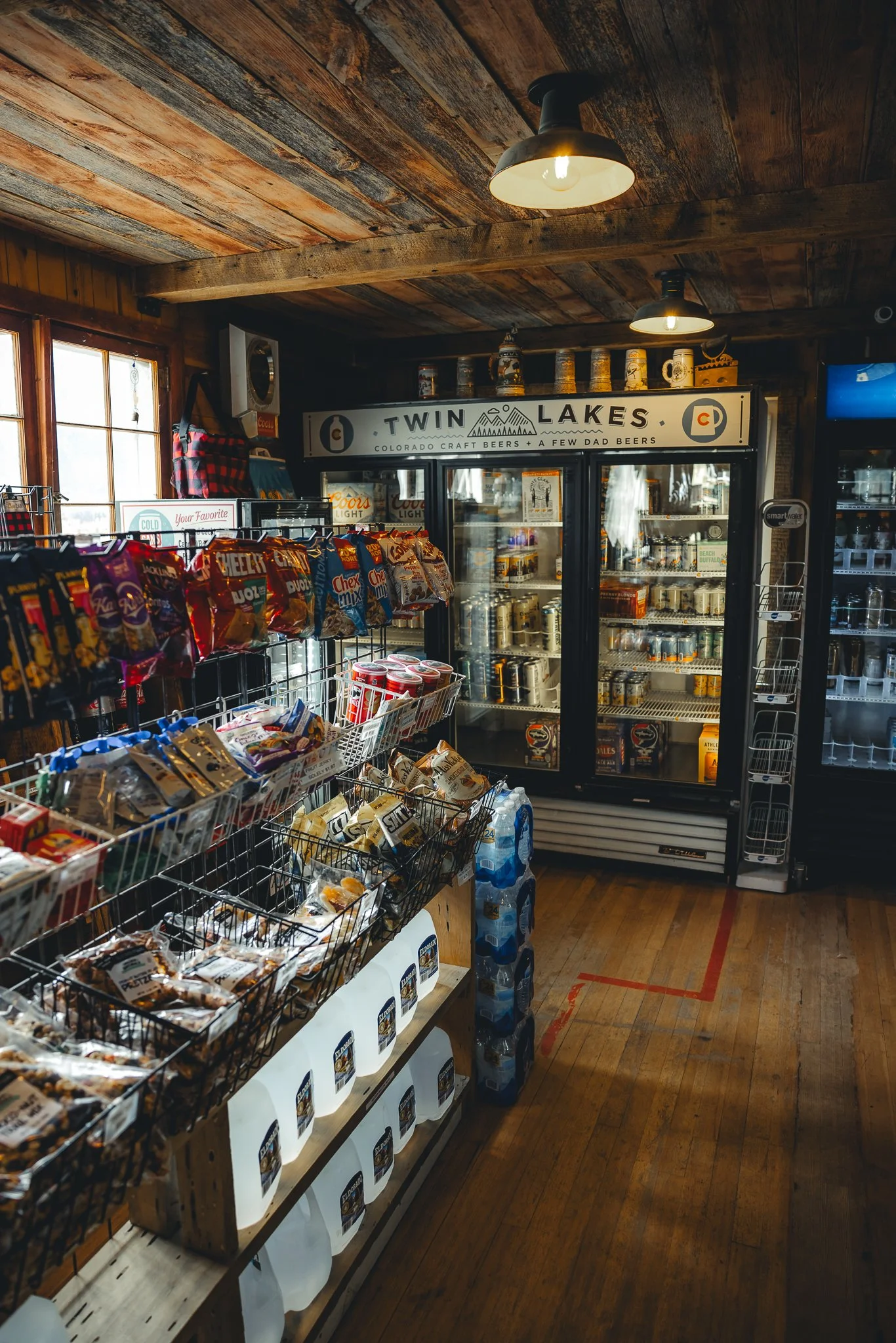
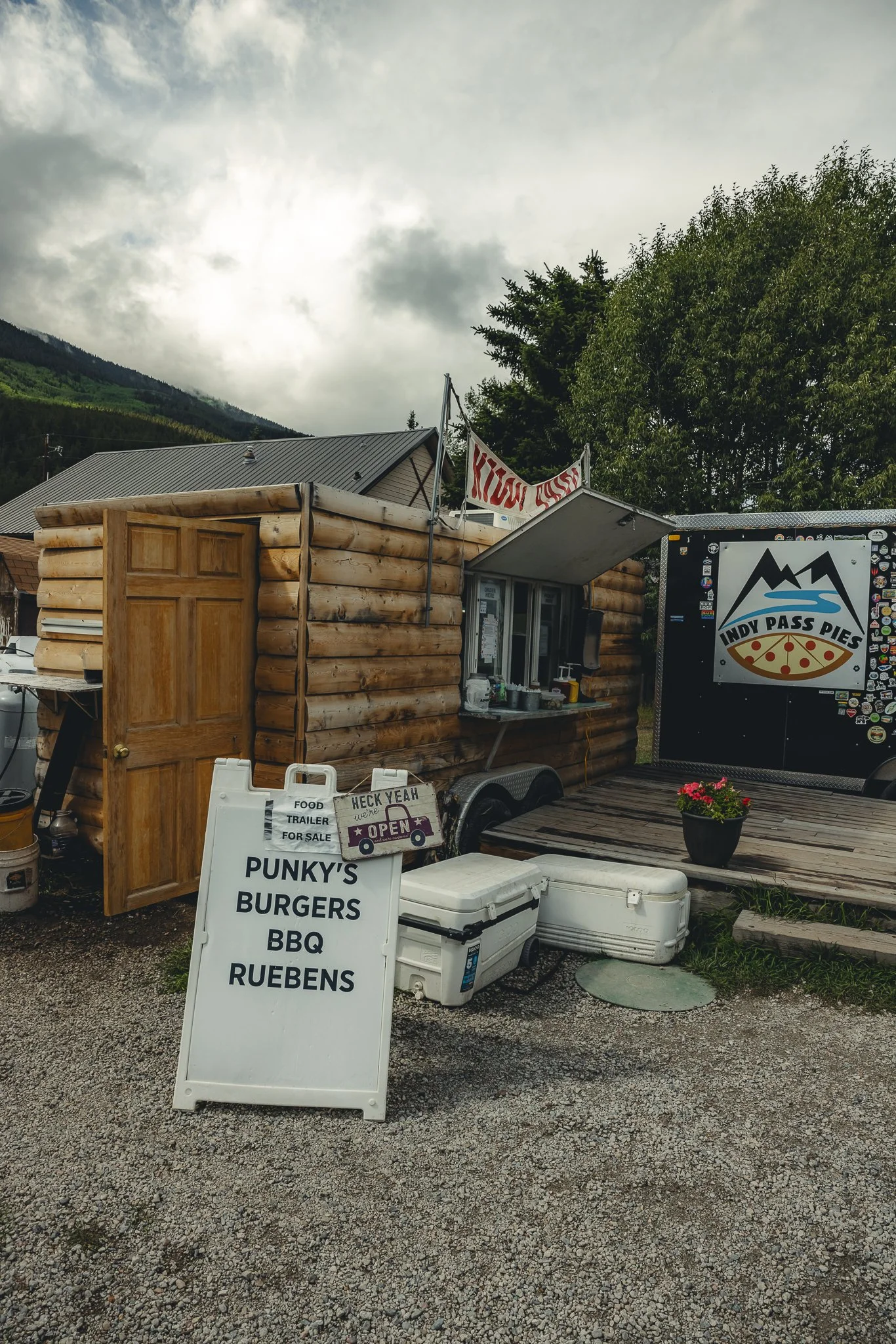
That’s it for for hiking Elbert, if you have any information to add or have questions, leave a comment below! If you’re looking for to grab some food after your hike (You’ll probably be hungry), at one of the food stands next to the Inn or the camp/grocery store that’s right there. If you liked the blog post subscribe to our email list below for more outdoor adventure info.
Looking for other hikes to do in the Twin Lakes area, check out A complete guide to the Interlaken Trail. Thanks for reading and I’ll see you on the next post!

Breckenridge Colorado Hiking, a complete guide to Black Powder Pass Off Boreas Pass Road
One of the best things about Colorado in the spring, summer, and fall is the hiking. What seems like endless amounts of trails through out the state, there’s always a
Disclosure: When you buy something through the Affiliate product links I have created below, I earn a small commission. I only promote products and companies I support as well as believe in.
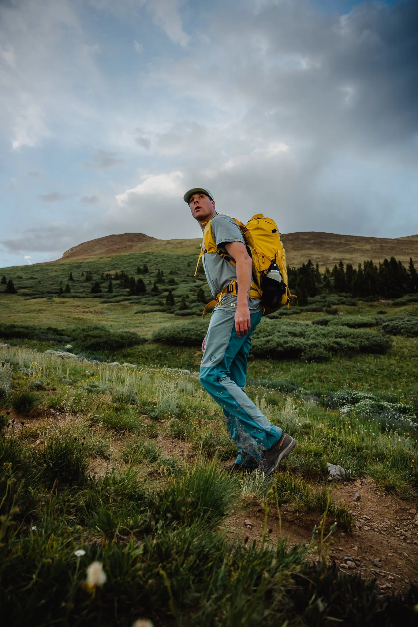
One of the best things about Colorado in the summer, and fall is the hiking. What seems like endless amounts of trails through out the state, there’s always a new path to explore. I’ve always loved the history that the state has, including old mining history and historic buildings that are still standing. One of my favorite hikes that I’ve done so far is Black Powder Pass, just outside of downtown Breckenridge.
The drive to the trailhead on Boreas Pass Road is one of the best parts, especially in the fall! In this post I’ll be going over directions to the trailhead, what the trail is like, best times of the year to hike, where to camp, and what to expect. Cool, letsss goooo.

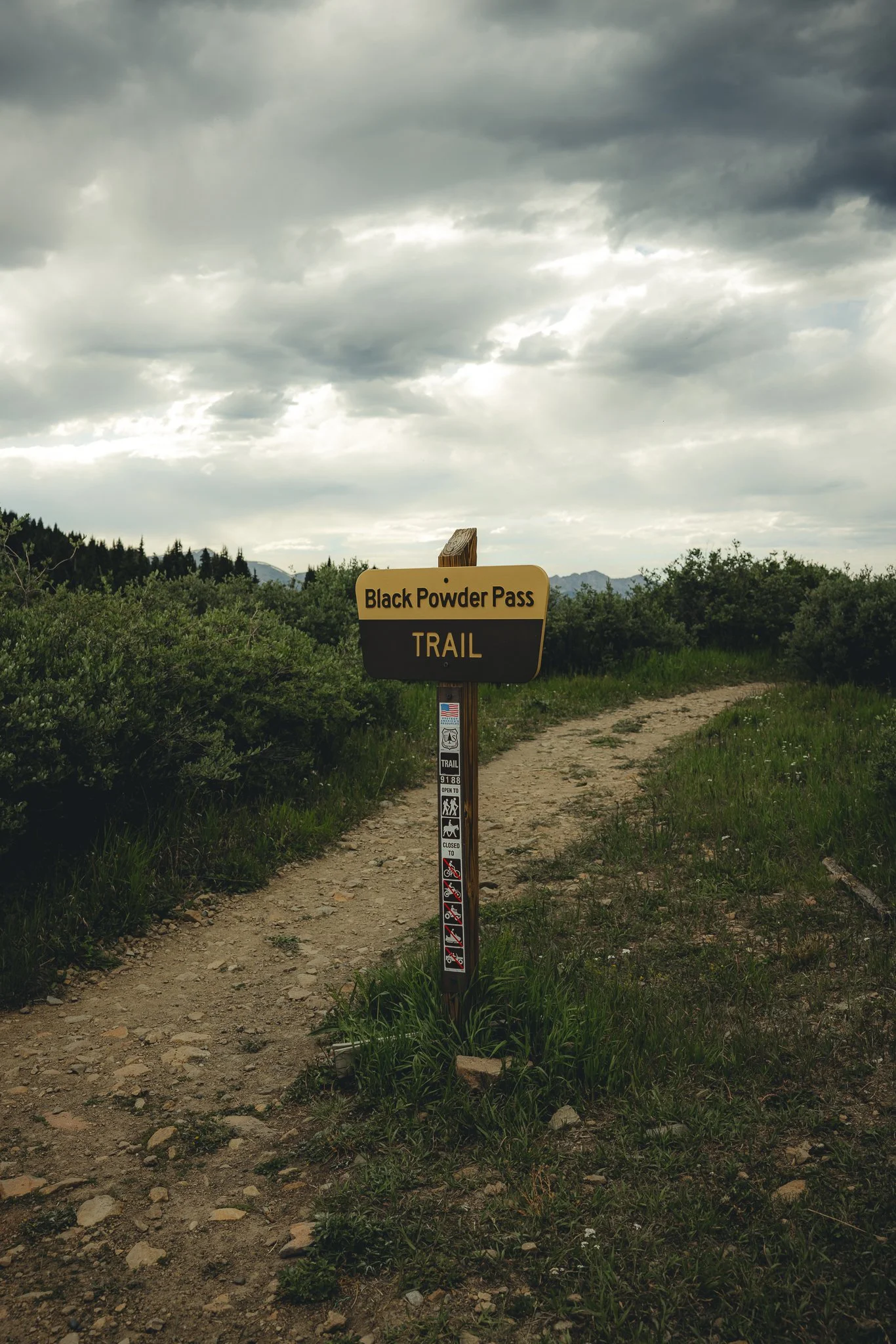
What’s the story behind Black Powder Pass
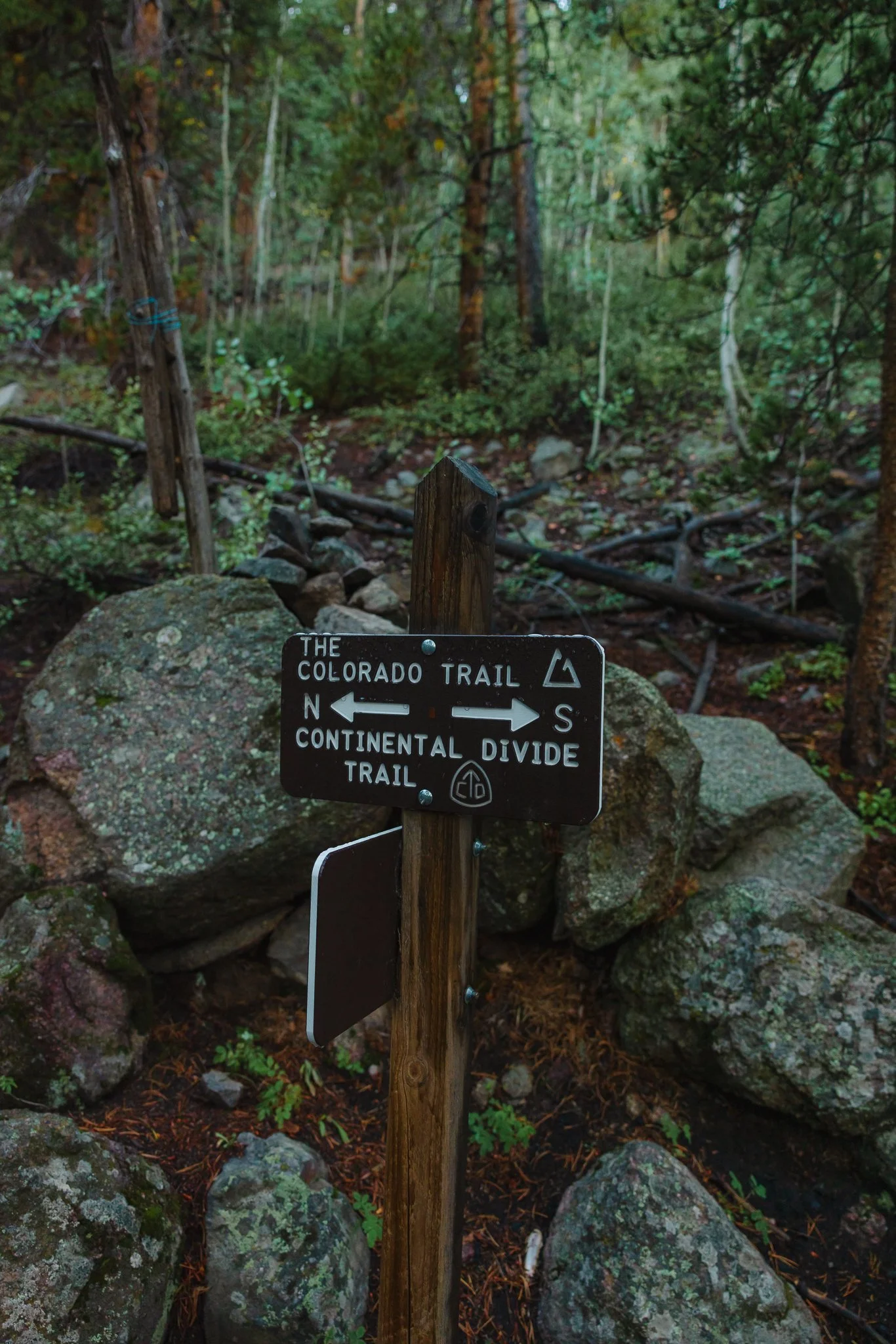
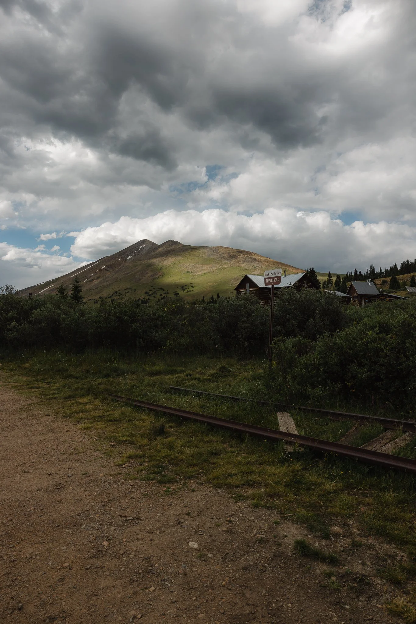
Originally Boreas Pass was part of a railway that connected Breckenridge to Leadville crossing over the continental divide, seen at the trailhead. However, by the late 1930’s with the decline of mining and the rise of cars and trucks, the railway became abandoned. It wasn’t until 1952, that a road was installed on Boreas Pass.
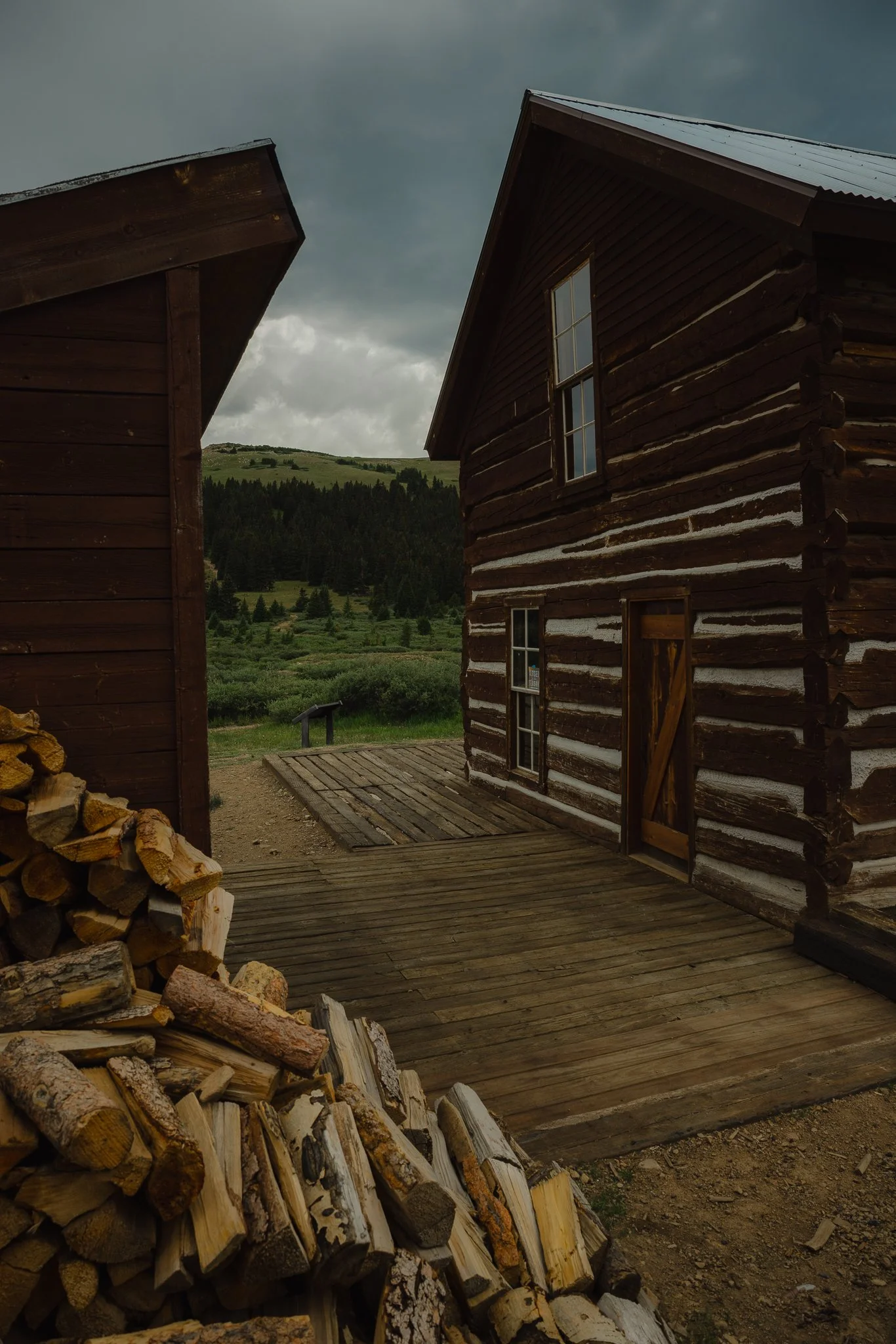
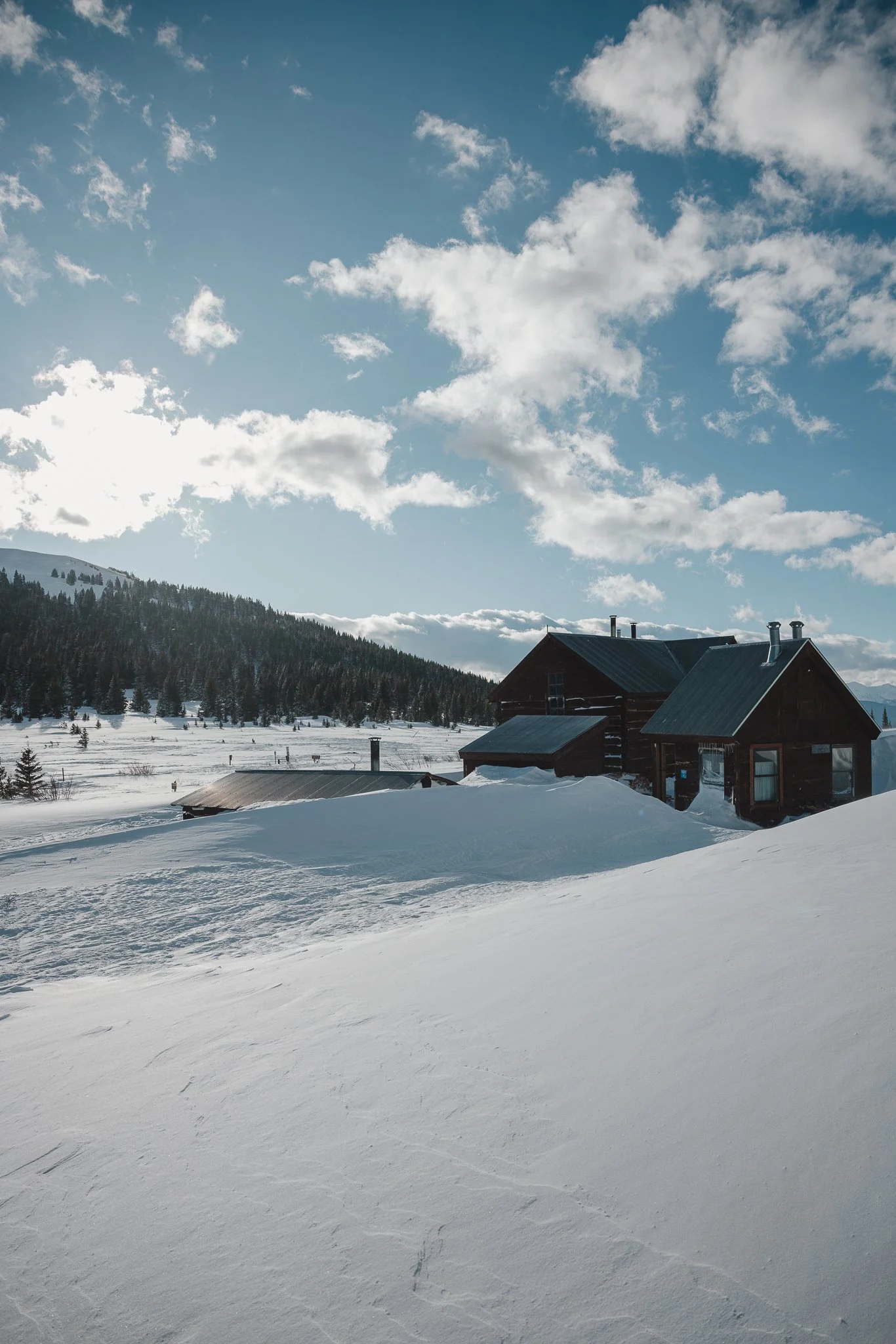
The group of small houses at the top called the Section house and Ken’s cabin were built in 1881 and served as the housing for workers who maintained the section of the Boreas Pass Railway. Today the Section house is a hut for back country skiers, splitboarders, and people who snowshoe in the winter
How to get to the trailhead
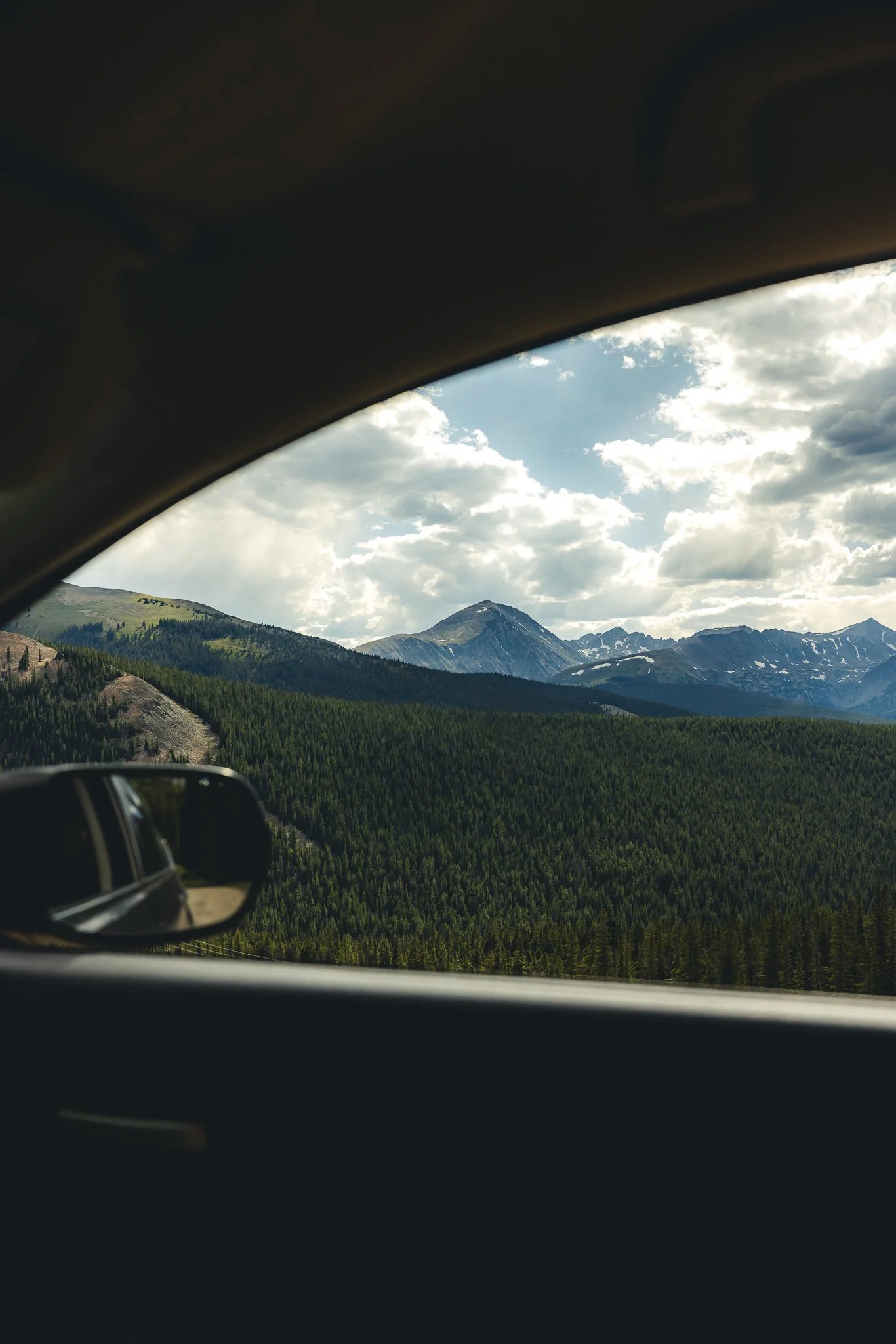
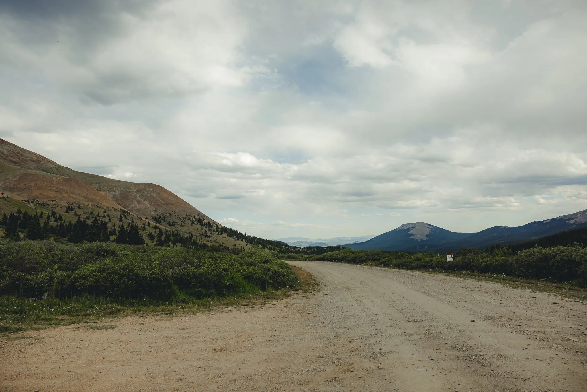
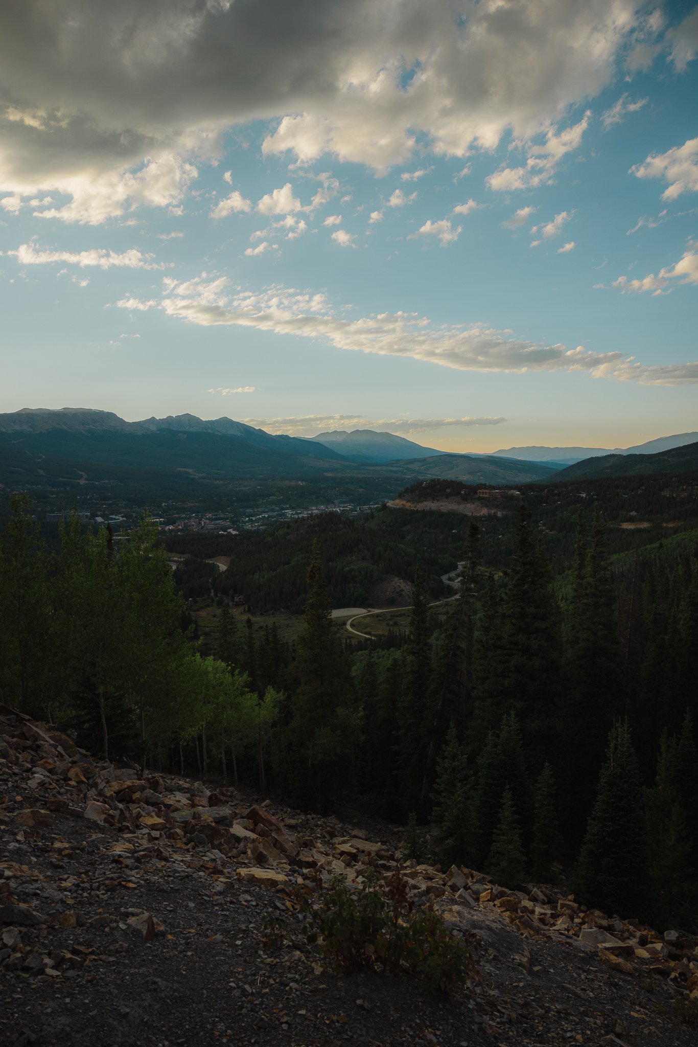
Depending on what direction you are driving from, you’ll want to turn onto Boreas Pass Road and take that all the way to the top until you hit a dirt road, with a parking lot on your left. The road overlooks the ski resort and town as you drive up. There’s a couple pull offs, so grab a few photos before you drive to the trail! (the drive and hike are great for photography).
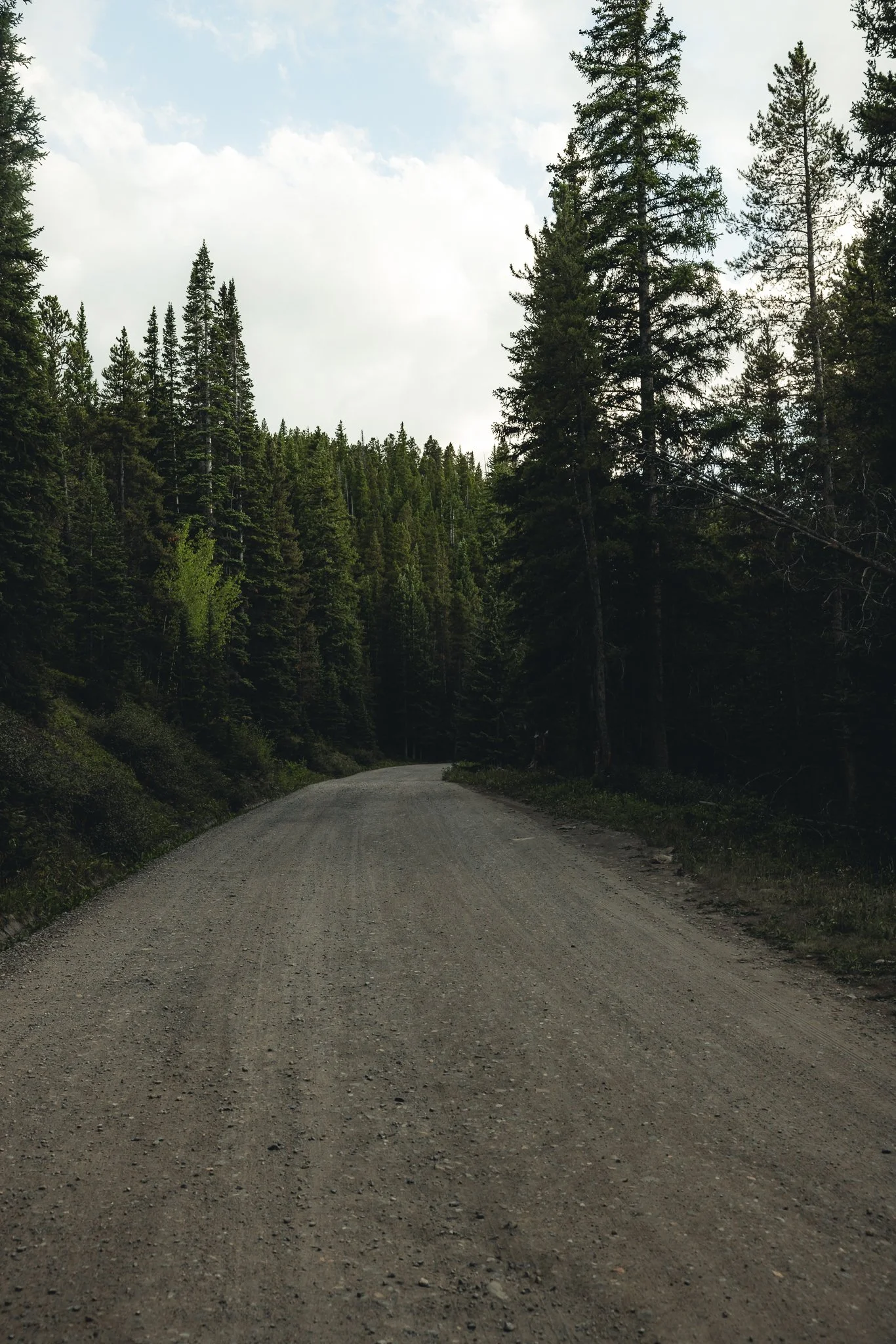
This road is somewhat narrow, with steep drop offs, so drive carefully! AWD isn’t required, but it helps to have. As you start driving on the dirt road you’ll go around a couple corners before you come up on a group of aspens, from there you’ll go past Bakers Tank (A Giant Red water Tank) all the way to the top until you come up on a parking lot with an old railroad track. I use AllTrails for help with navigation, just make sure to download the trail ahead of time!
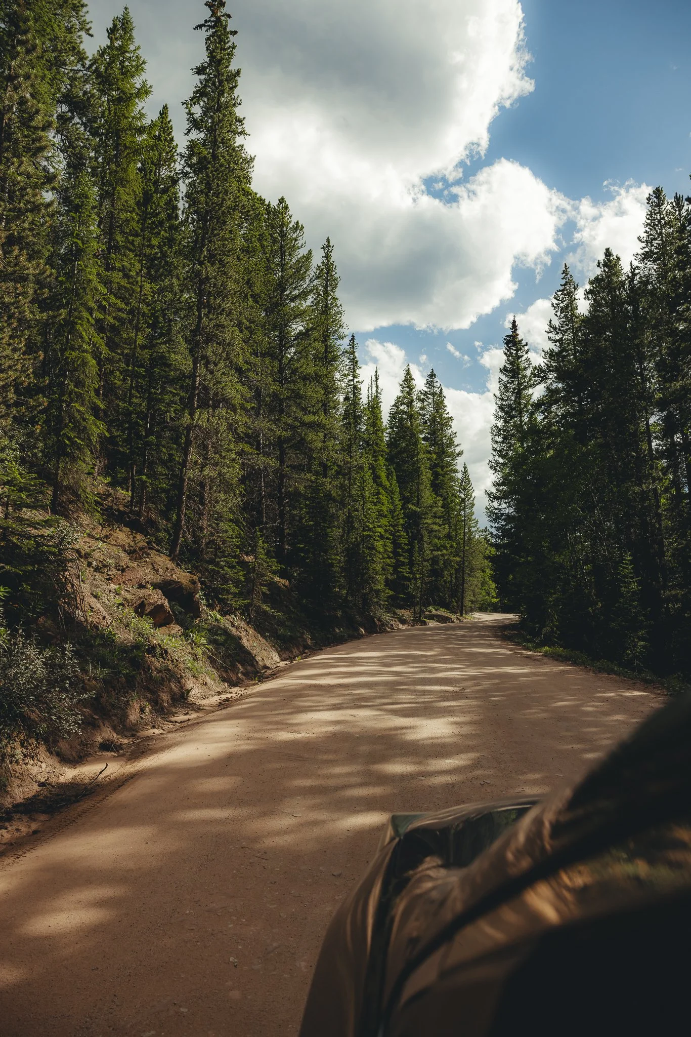
The dirt road gets a lil bumpy towards the top, so drive slower.. Below I’ve listed major areas including downtown Breckenridge with distances and times. The two major highways you can take to get to the trail are either I70 or 285 South.

Trailhead Coordinates: 39.410310, -105.968420
Denver- 2 hours/87 Miles/140 km
Boulder- 2 hours and 20 minutes/96 miles/154 km
Downtown Breckenridge- 35 minutes/9 miles/14 km
Vail- 1 hour and 20 minutes/46 miles/74 km
Colorado Springs- 2 hours and 20 minutes/103 miles/166 Km
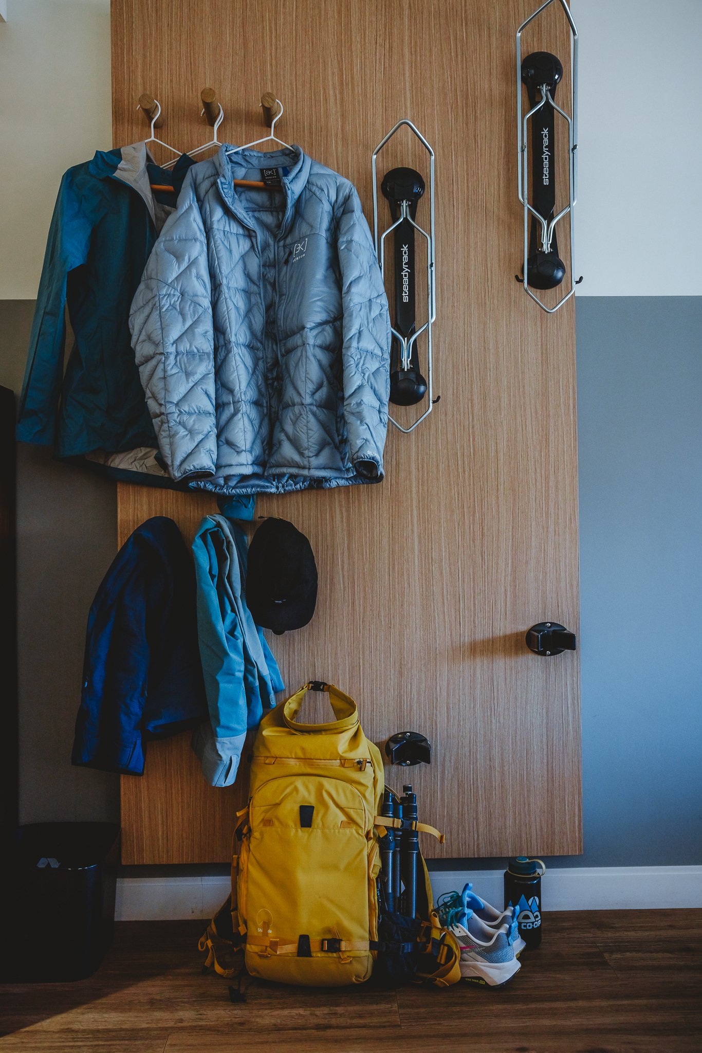
What should we pack
Water Bottle- Stay hydrated, especially at high altitudes! I like Hydro Flask because they keep your water cold for up to 24 hours.
Hiking Boots- There’s a number of uneven surfaces when hiking in the rockies. Having the proper support and grip when out on a trail is crucial. I personally like La Sportiva, they’re kind of a niche brand, but their stuff works for me.
Sunscreen-If you’re outside in Colorado, especially at a higher elevation it’s important to protect your skin. I like Sun Bum, based out of California, because it is none greasy.
Sunglasses- Often overlooked, if you plan on hiking during the day at high altitudes, you must have sunglasses.
Hat- Always pack a hat when going for a hike!
Backpack- I always like to hike with a bag to keep my water bottle, camera, and snacks for the trek, maybe even a beer or two for the top :) Burton makes amazing outdoor bags, backed with a lifetime warranty!
Any tips for hiking Black Powder Pass
Be careful when driving to the trailhead as there are steep drop offs with no guardrail on the dirt road, AWD and vehicles with good tires is a plus.
Bring a rain jacket and extra layers, even in the summer!
Visit in the fall, mid to late September is one of the best times to be on Boreas Pass Road
Avoid weekends if you can due to more vehicles and people
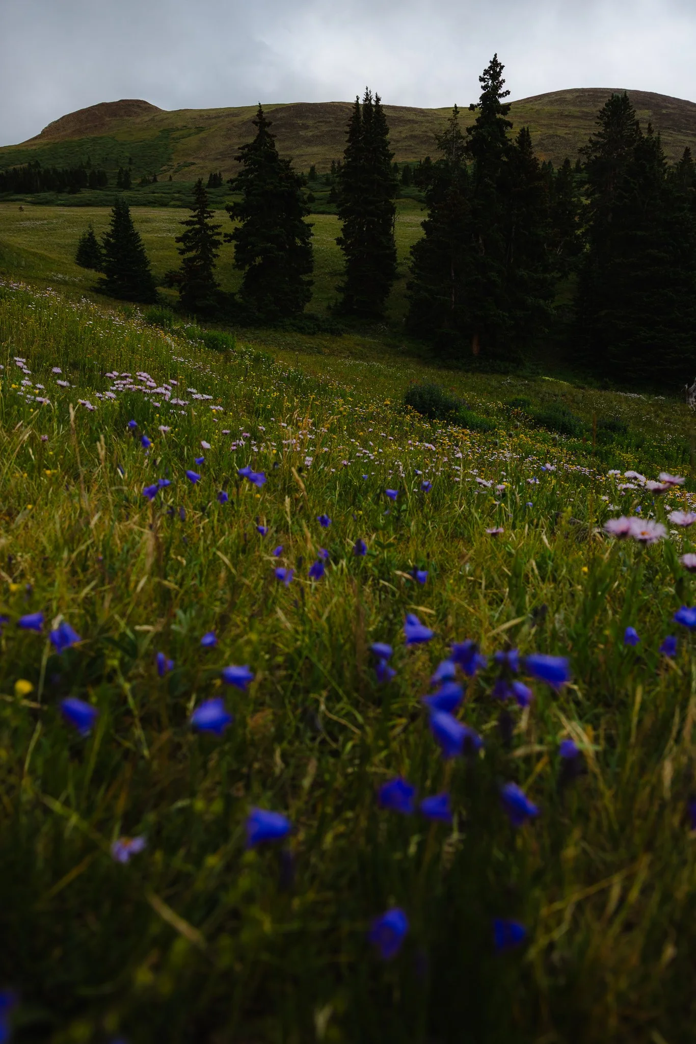
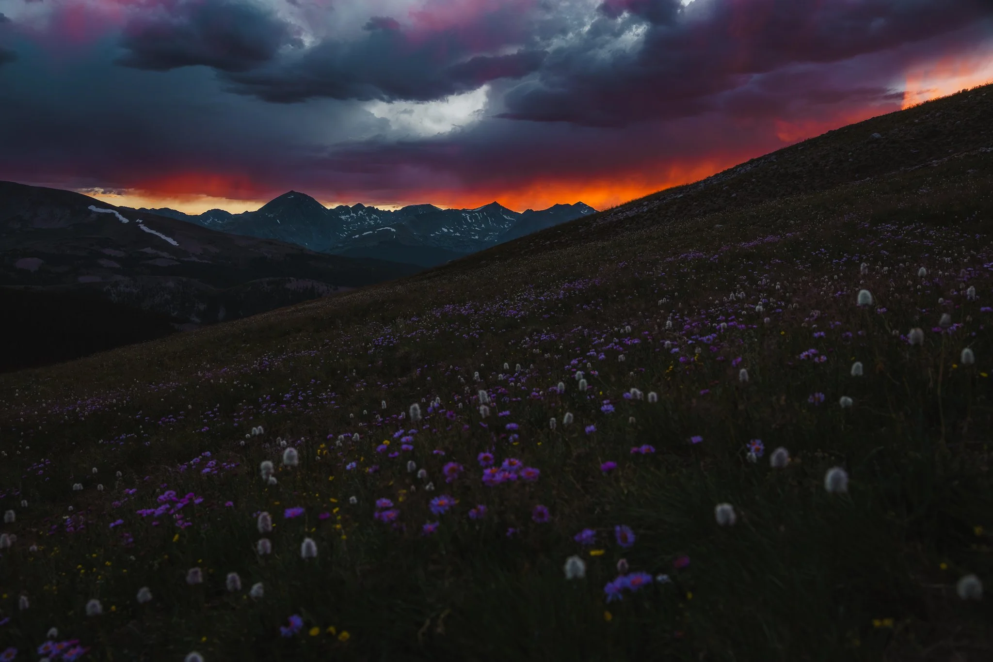
Summer is a great time to catch the Wildflowers
You are at a higher elevation (11,482 Feet) take it easy and drink plenty of water!
Thunderstorms can pop up in the afternoon, however if the weather looks good, later afternoons in the evening are one of the best times to be on this trail!
Trail Stats
Trail Type: Out and Back
Distance: 3.4 miles/5.5 km
Difficulty: Moderate
Elevation Gain: 1,000 feet/305 meters
Dogs: On leash
Trail Time: Depending on speed and how long you stay at the top 2-3 hours
Is there parking and restrooms at the trailhead
There are no restrooms at the top, however there are two smaller parking lots on both sides of the road. Both lots are pretty empty on weekdays in the afternoon.
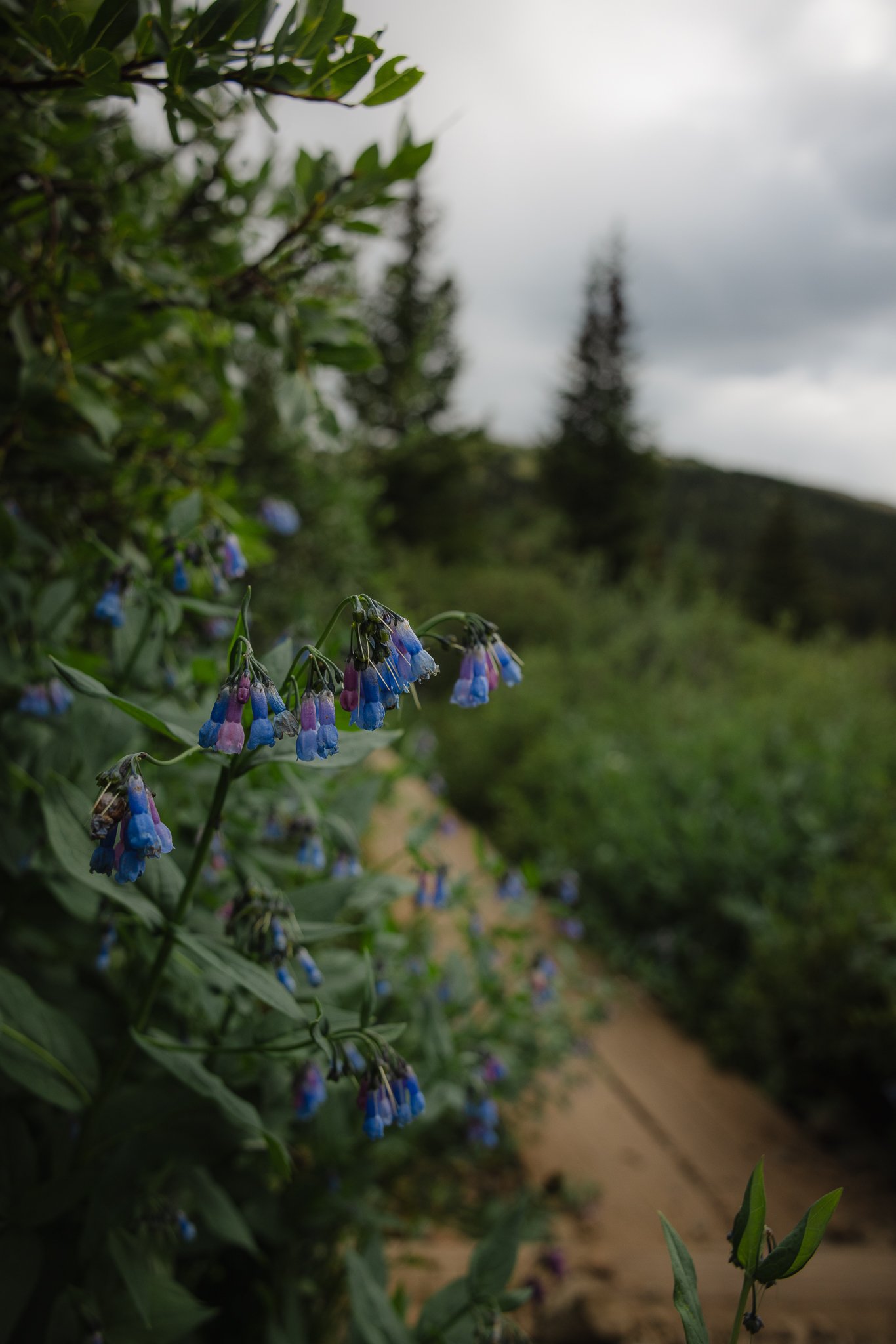
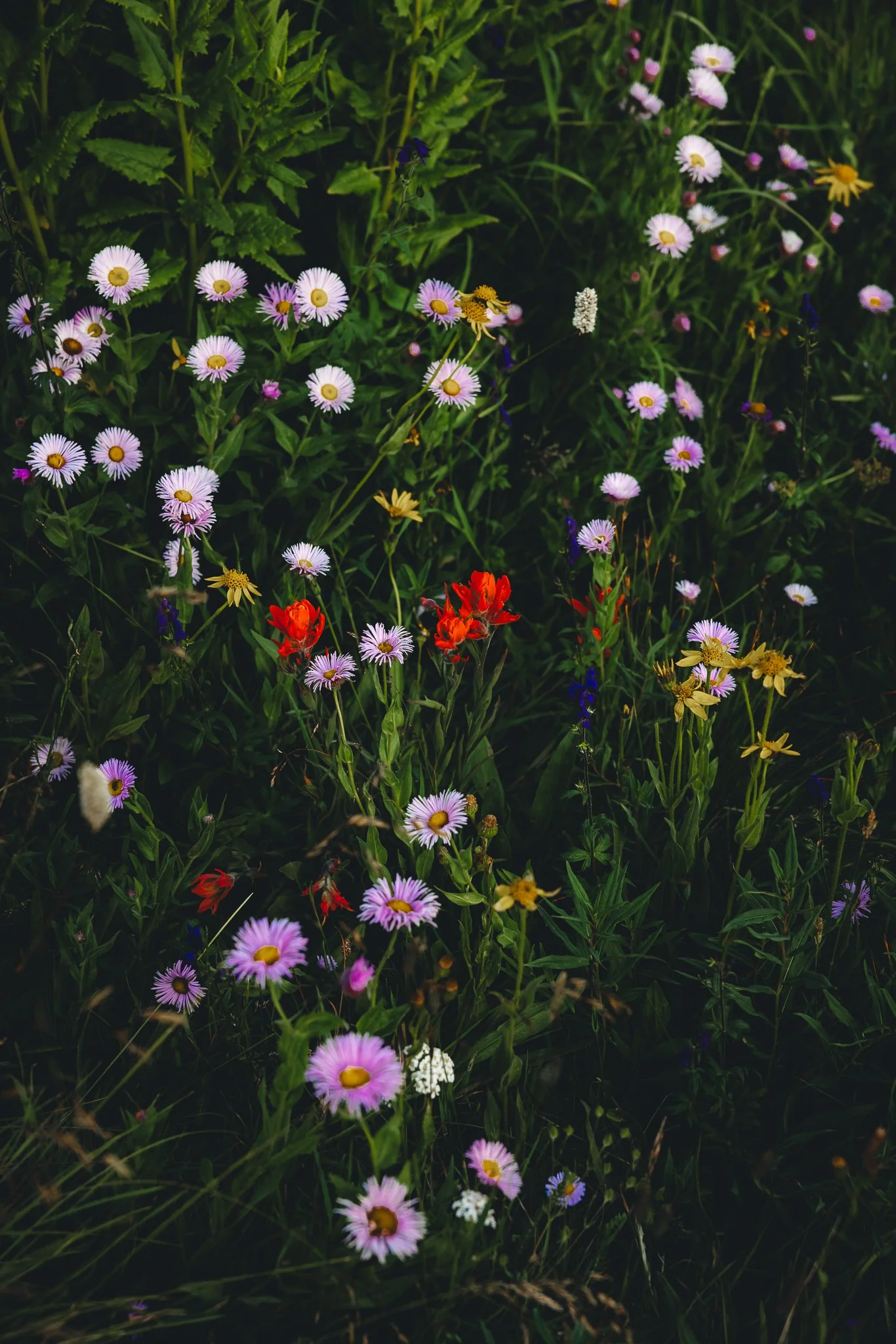
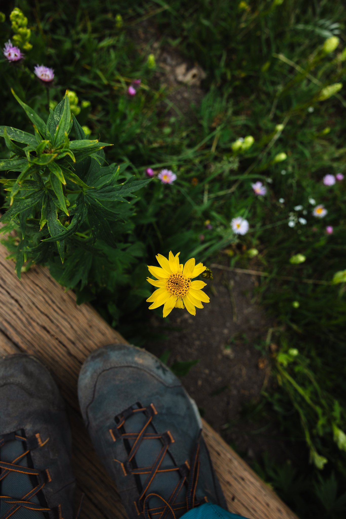
Any Wildflowers on this trail
There are! From July through early/mid August will be wildflowers, and I think Boreas Pass has some of the best areas for them in Summit County. About a half mile into your hike is where you will see a couple fields of them.
When is the best time to hike this trail
The best time to hike this trail is Late Spring to Early fall. Due to snowfall, Boreas Pass Road will close after the first parking lot at the top. You can still access the cabins in the winter by booking the Section House or Ken’s Cabin. I wrote a blog post on this, for your first time booking a backcountry hut trip.
The busiest time of the year will be on weekends during the fall when the leaves are changing. A lot of people will come up from Denver or the front range area to check out the fall foliage (leaf peepers). Try to come up midweek if you can, as the fall colors are one of the best times of the year to hike in Summit County.
My favorite time of day to hike this trail is in the late afternoon-early evening because you get really cool golden light surrounding the hike and the sun is also not as intense as a mid day hike.
What is the trail like and is the hike difficult
The trailhead starts where the continental divide is along with historic cabins mentioned above. The continental divide is the line that runs from Alaska to Mexico and on one side water drains into the pacific ocean and on the other side the Atlantic ocean. The trail itself is part of the White River National Forest, but as you look to the right when driving up towards the top, that is the Pike National Forest.
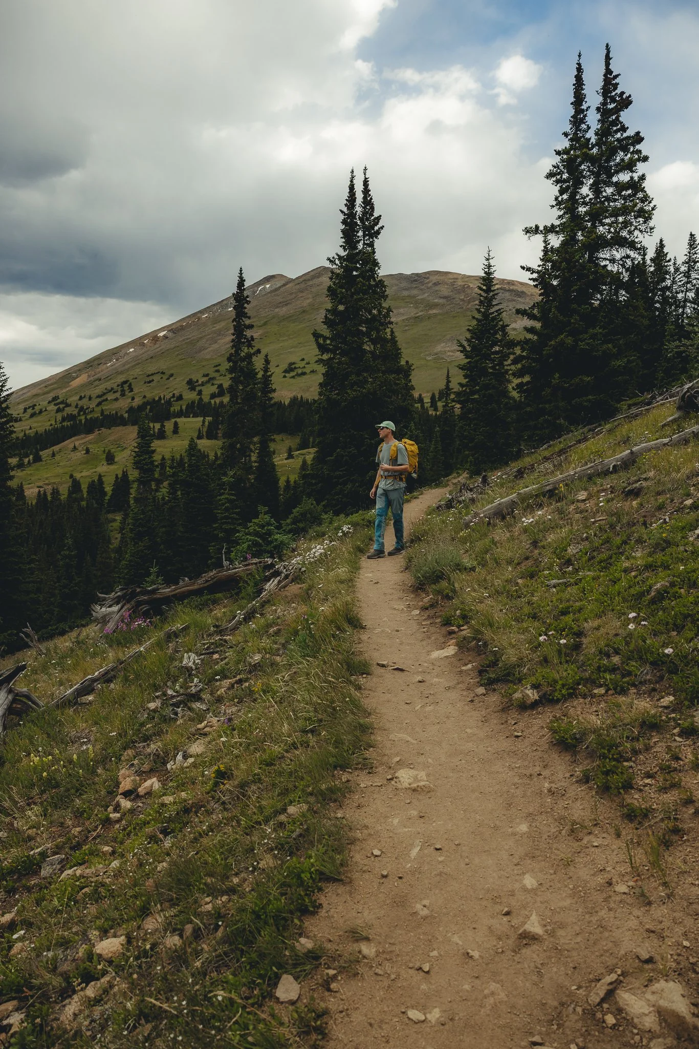
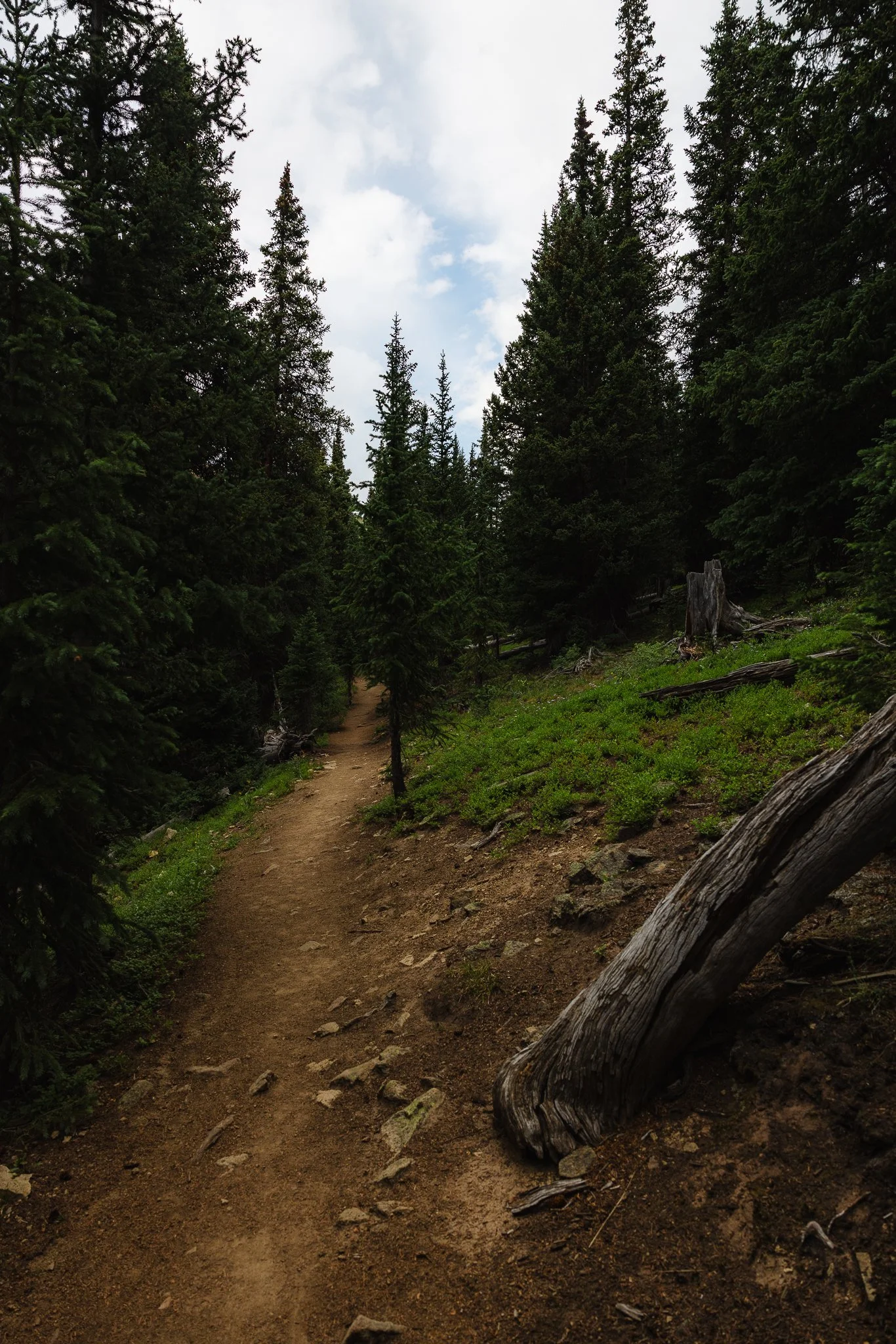
You’ll start your hike at the base of the Section House and is worth walking around and checking out! As you start hiking you’ll notice most of the trail is exposed with a couple of portions that walk through pine trees and dead tree stumps. The trail overall isn’t too strenuous and doesn’t take too much time either which is what I liked.
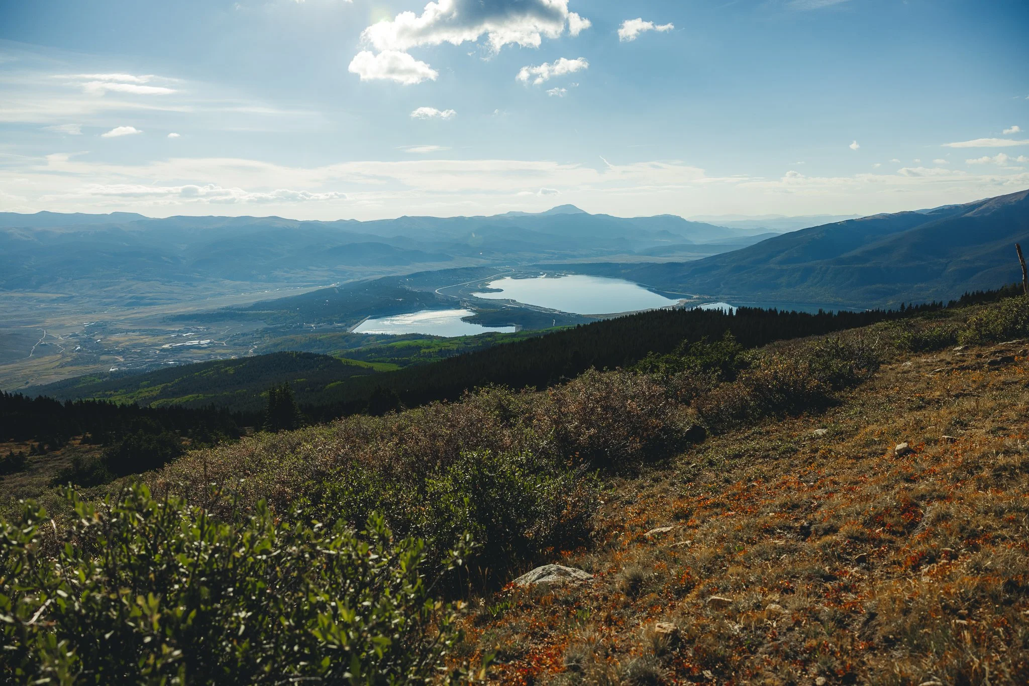
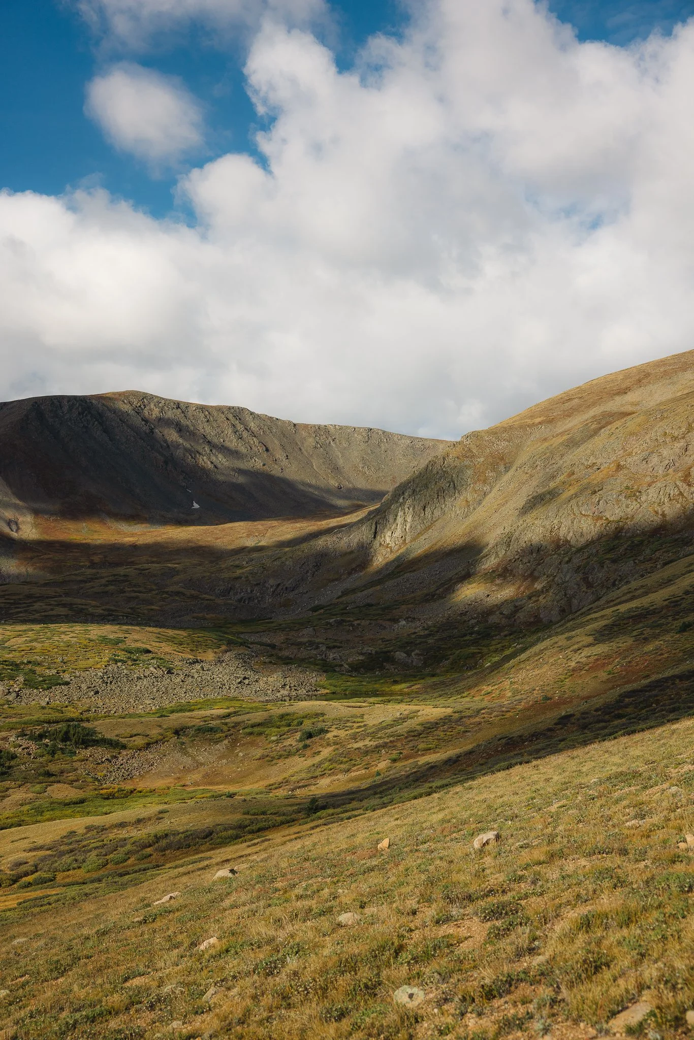
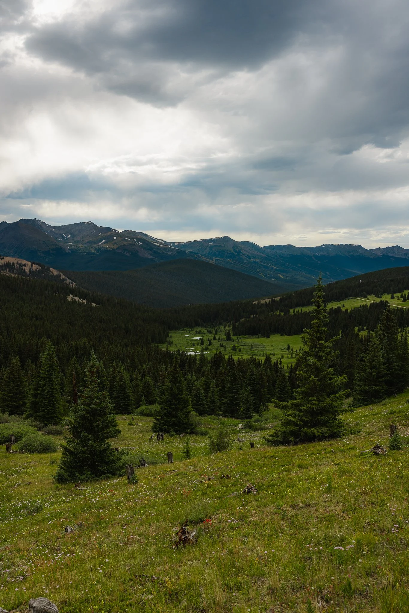
As you make your way towards the top, turn around and you’ll notice most of the ten mile range and next to it Mt Helen and Mt Quandary! It is one of the best views in the area in my opinion. Once above tree line, the trail itself is pretty straight to the top and you’ll be able to see Baldy Mountain to your left. Pack a lunch, snacks, or even a couple beers and enjoy the views at the peak.
At the peak you’ll also notice the backside of the mountain has views too, this portion overlooks the White River National Forest!
If you caught a good weather window and went up for sunset, you could get lucky and catch an awesome sunset on the way down
Is there camping in the area
Yep, it is all dispersed camping (free), but with numbered camp sites. First come, first served and no public facilities. Pack out what you packed in and make sure to check weather and fire restrictions ahead of time.
Is the Boreas Pass Overlook worth checking out too
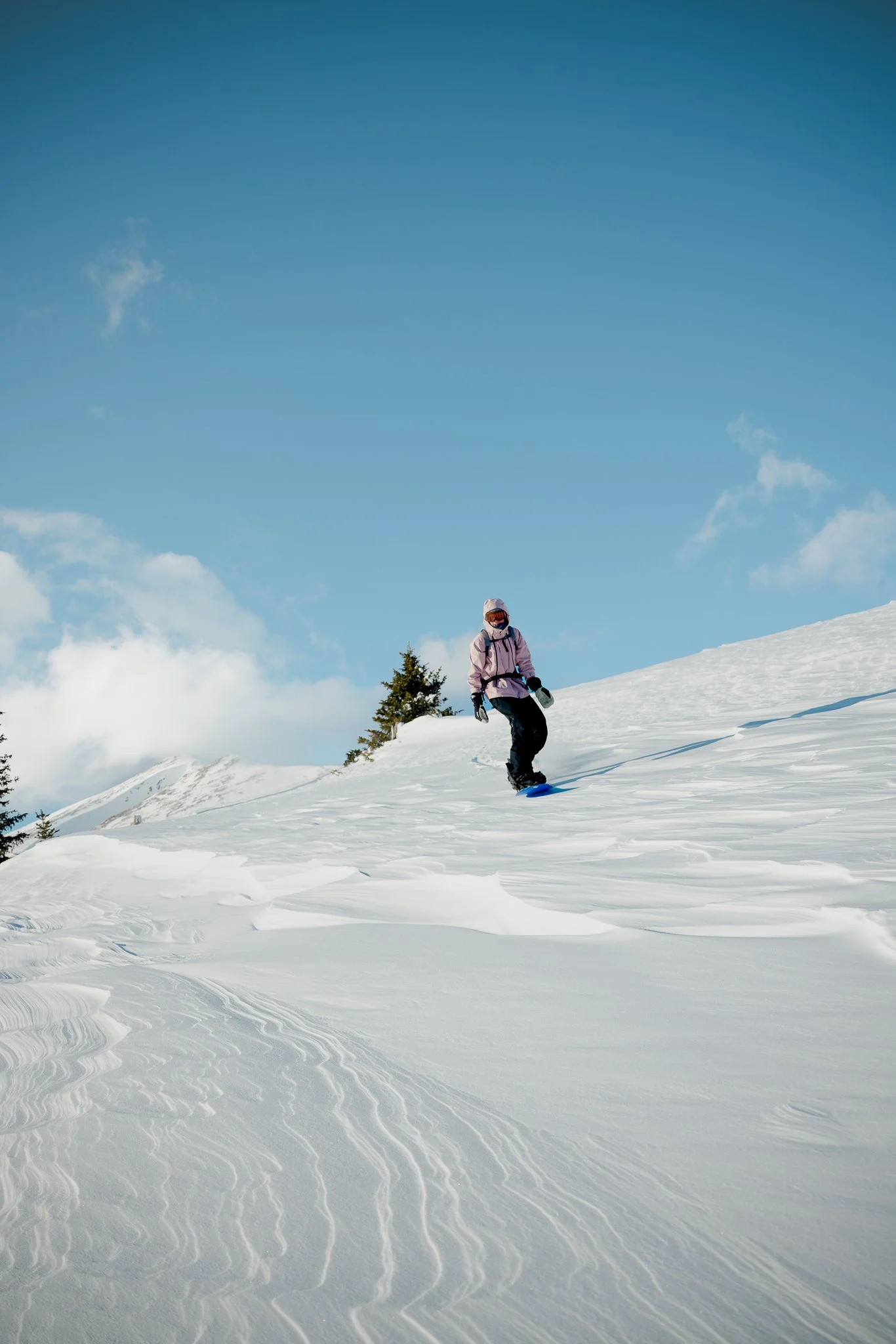
Yep, If you are in Breckenridge I highly recommend driving up to Boreas Pass road, and walking along the road. You can do this regardless of the time of year. Winter can be one of the best times to head up to Boreas Pass, as the town and surrounding peaks are covered in snow. Park in the first parking lot you arrive at and walk the road. In the fall walk along the road while checking out the fall colors or hang out and enjoy a sunset view over the ski resort.
That’s it for the Black Powder Pass Trail. If you’re vacationing in Breckenridge or even just passing through, I highly recommend this hike! If you’ve done this hike before or having any questions, leave a comment below. Looking for more information on outdoor trips, hikes, tips, and gear information, feel free to subscribe to the email list below! Thanks for reading the blog and I’ll see you on the next post.
Looking for other Colorado Hikes? Check out the Ptarmigan Lake trail, just outside of Buena Vista.

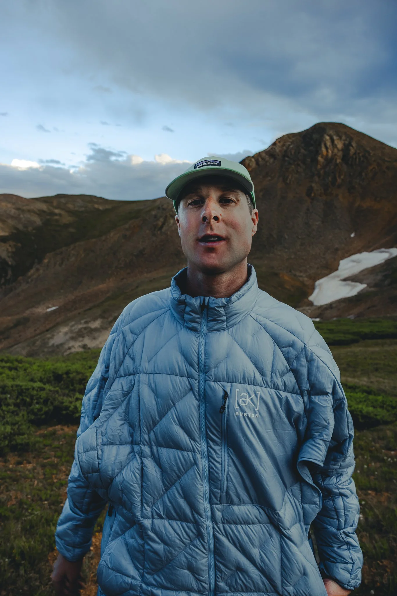
Meet Jeremiah
Growing up, I loved being outside. I took a lot of cool trips with my family, whether it was camping, going to the beach, road trips, and national parks. Even though I didn’t fully appreciate those experiences at the time, as I got older I started getting more into the outdoors and traveling, reconnecting with my past. The feeling of traveling or going somewhere new always seems to give a sense of excitement or adventure.
Snowboarding and boardsports in general have been a passion of mine for over 20 years. I always loved the culture that came with it; from local retail shops to magazines and videos, to riding with friends as well as geeking out on the latest gear, it’s all part of the experience. After working in snowboard/outdoor gear shops for the past decade along with traveling to different outdoor places, I decided to put all of that experience in digital form to inspire and connect with other people.