Beginner Hikes near Breckenridge Colorado, hiking Hoosier pass
Disclosure: When you buy something through the Affiliate product links I have created below, I earn a small commission. I only promote products and companies I support as well as believe in.
One of the easiest and most scenic trails outside of Breckenridge is the Hoosier Pass loop. It’s the type of trail you can start on an afternoon and still finish before the sun goes down. What I like most about it is how vast the views are at the top and really just the entire loop in general. It’s a hike you can do with the whole family, your parents, or a loved one. Afterwards drive over to Alma and stop at Otto’s food cart for a nice treat before you head home.
In this post I’ll be sharing how to get to the trailhead, best times to hike it, trail details, and detailed photography. Alright let’s do this!
Where is Hoosier Pass
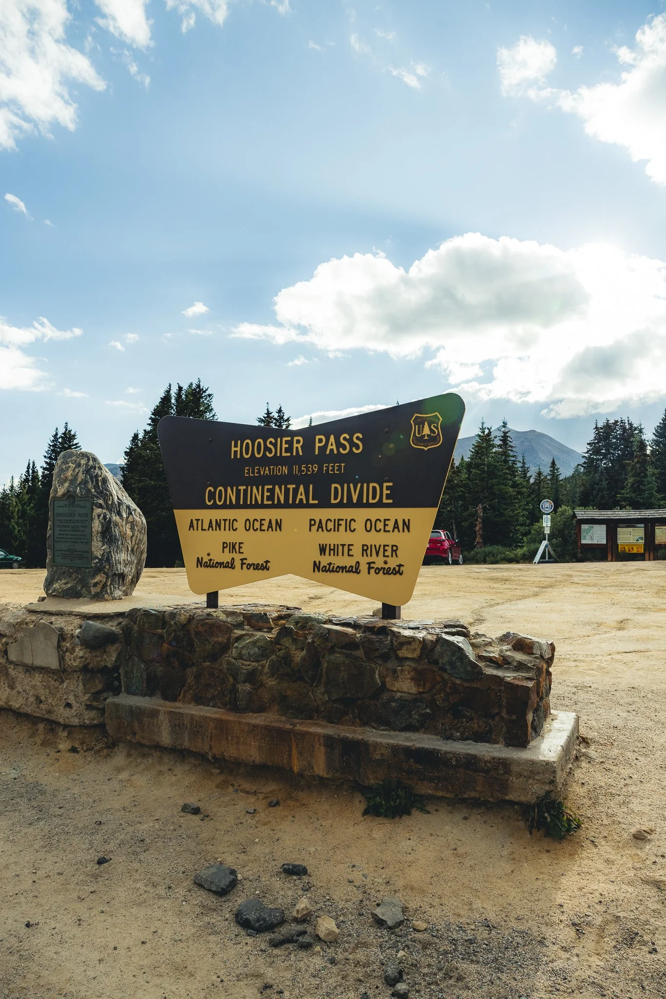
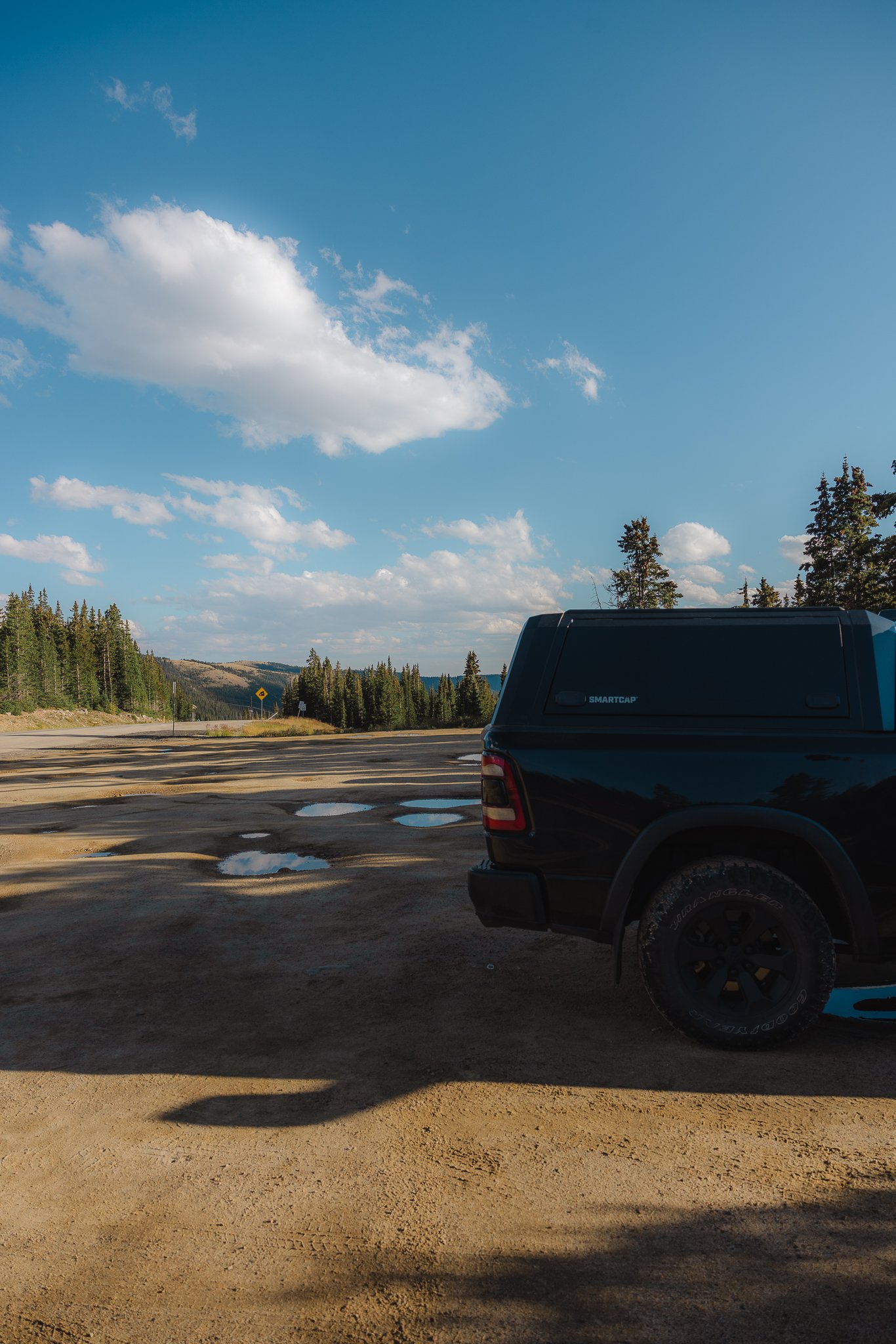
Hoosier Pass is in between Breckenridge and the small town of Alma in Colorado. You’ll see a large dirt parking lot at the very top of the pass and this is where the trailhead starts! It helps to download a map on the app AllTrails, as this app will help greatly with navigation and just overall trail awareness. I use it all the time.
Do we have to worry about weather
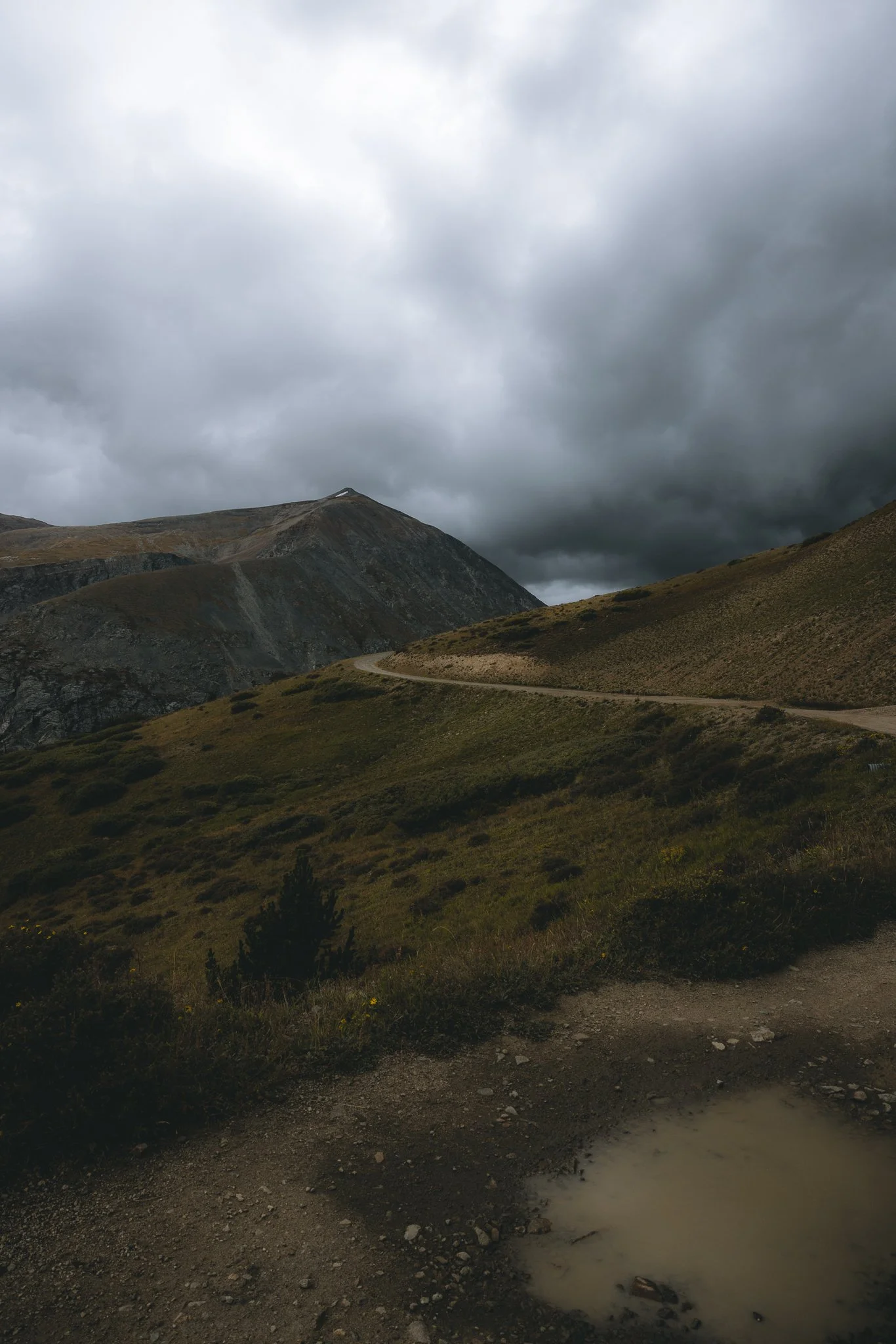
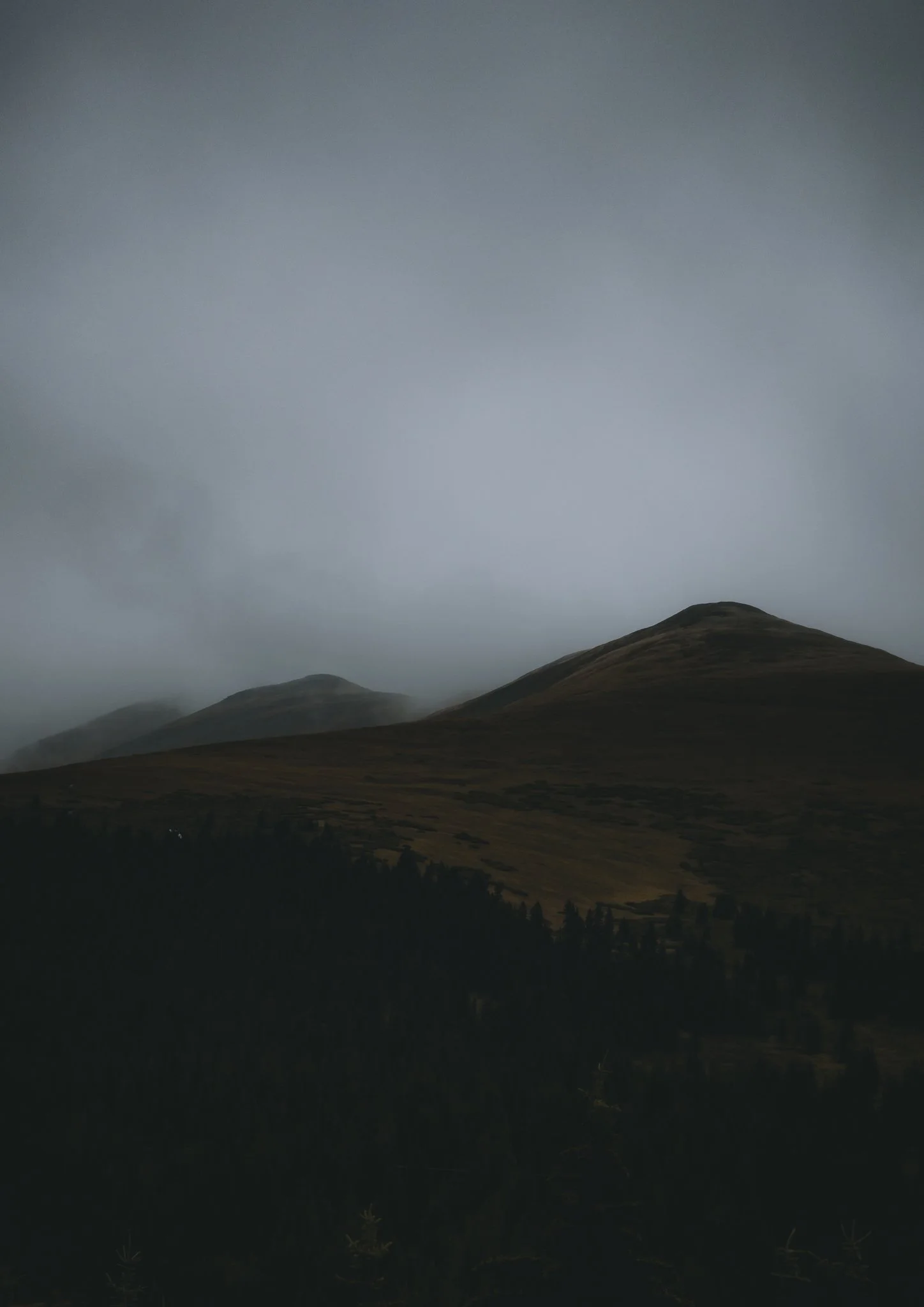
Colorado weather can pop up out of nowhere, that’s why it’s so important to pack a rain jacket. Since this is a more exposed hike I would suggest waiting out the weather in the parking lot until it clears or turning around if you see dark clouds. Also note that the best time to hike this trail will be Mid June through September, snowfall depending!
What should we pack
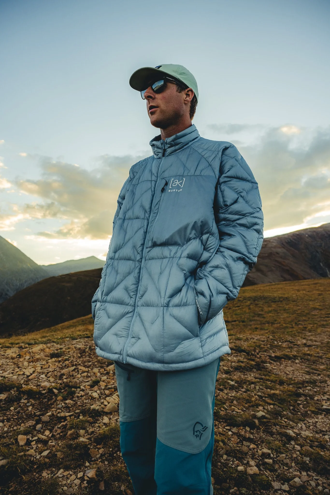
With the exposure make sure to wear sunscreen, pack at a least 1 Liter of water, a lightweight warmer jacket, and a solid pair of hiking boots or trail shoes. Although the first half of the hike, the trail is pretty smooth, the hike down gets more technical and steep, so having a solid footwear will help a lot. It also helps to have a headlamp if you’re doing this hike in the evening!

What is the hike like and what are the trail details
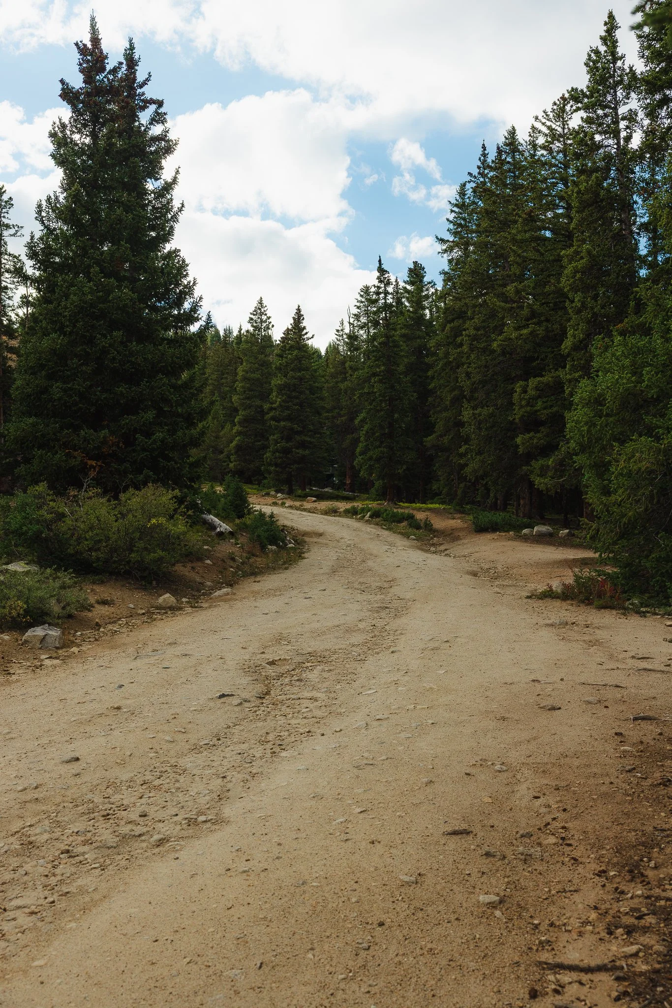
The hike is exposed for most of it except for the very beginning where you will walk past some primitive campsites and through the woods. The loop itself is 2.7 miles with 659 feet of elevation gain. So not a strenuous hike to be honest. The first half of the loop is a service road and at times I have seen trucks with high clearance drive up it!
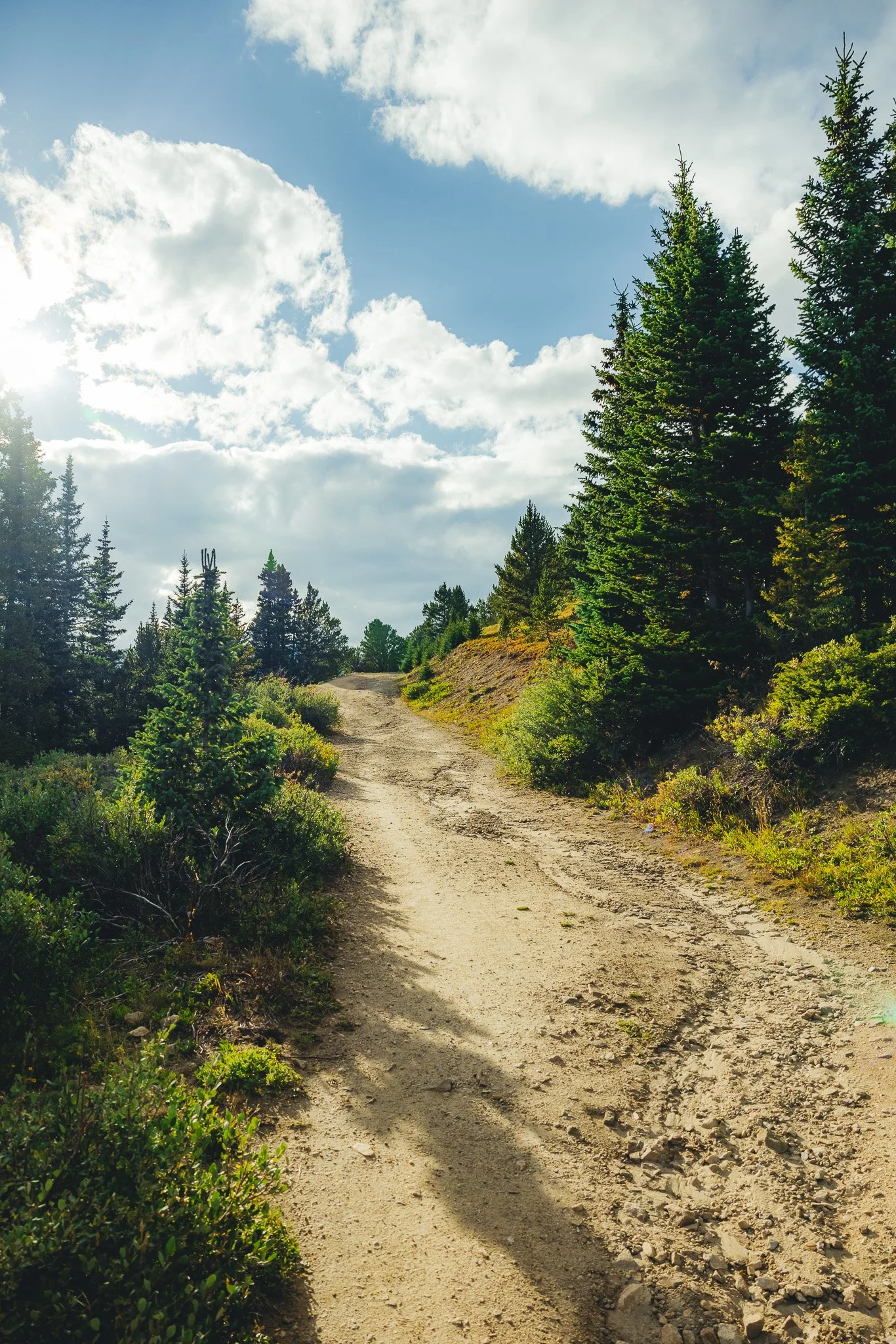
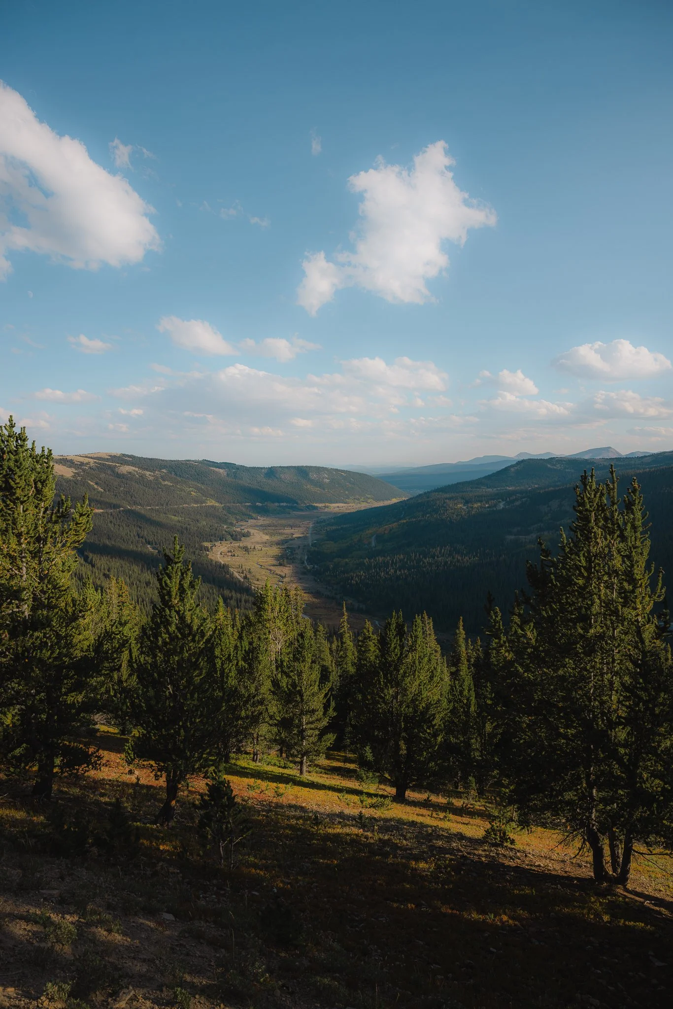
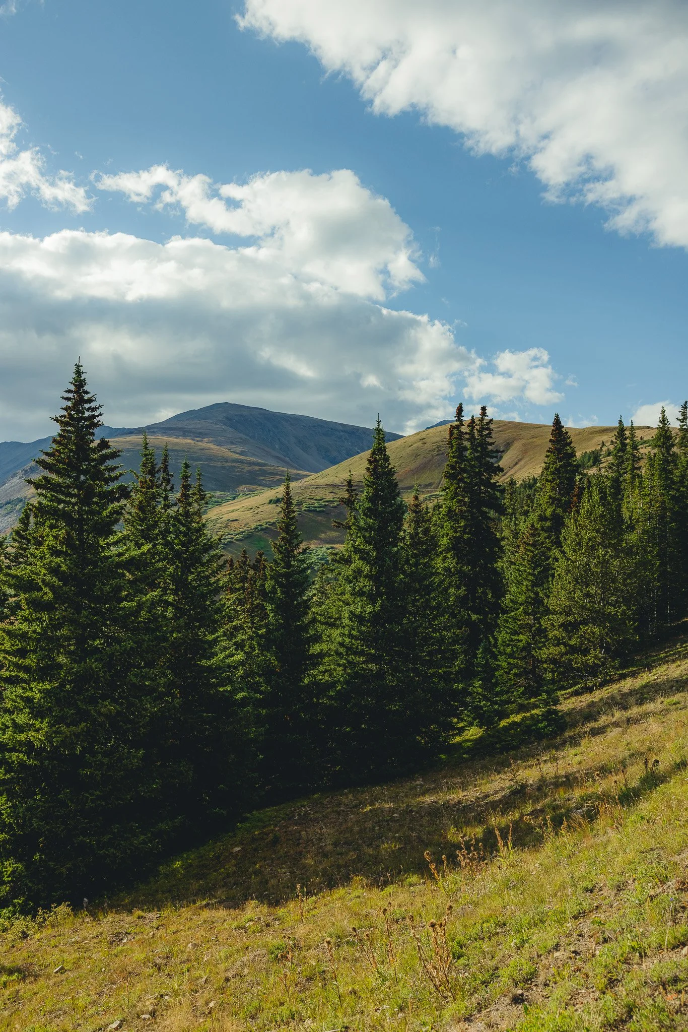
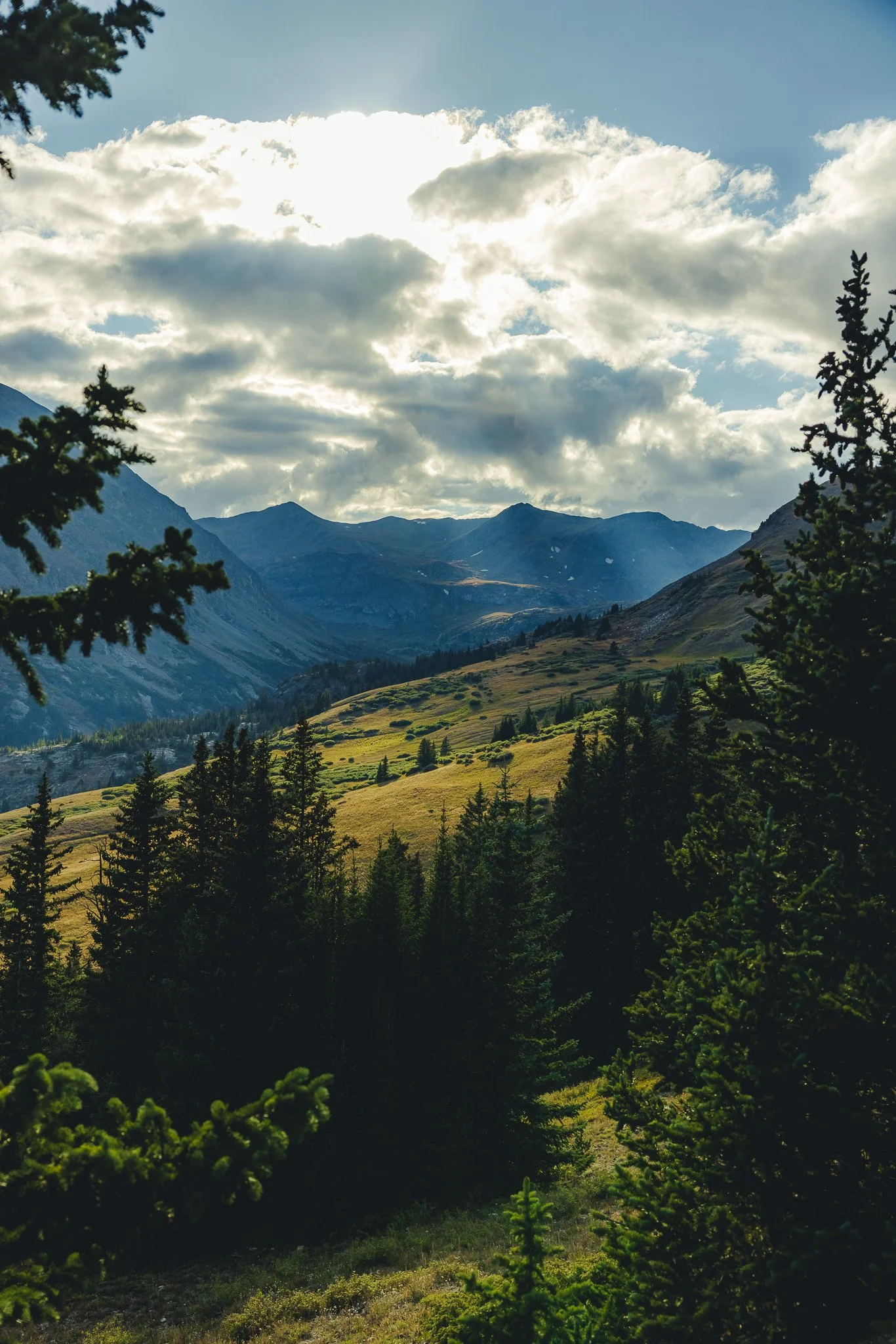
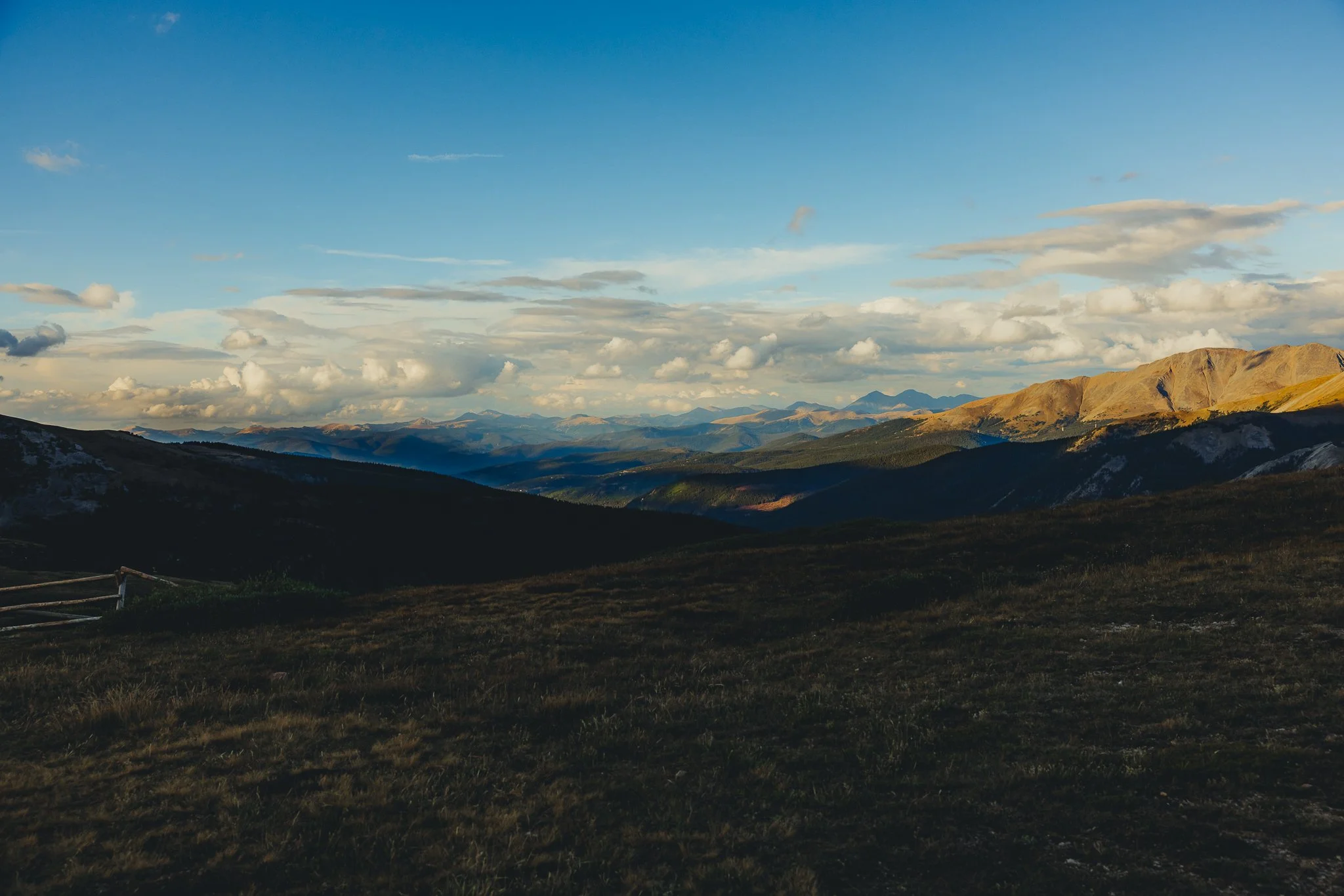
Once you start to get above tree-line you will see Mount Lincoln off to your left which is a 14,000 foot peak and straight ahead are three 13,000 foot peaks ; Traver Peak, Clinton Peak, and Bartlett Mountain. If you turn around you can see the valley that leads to Alma and Park County down below.
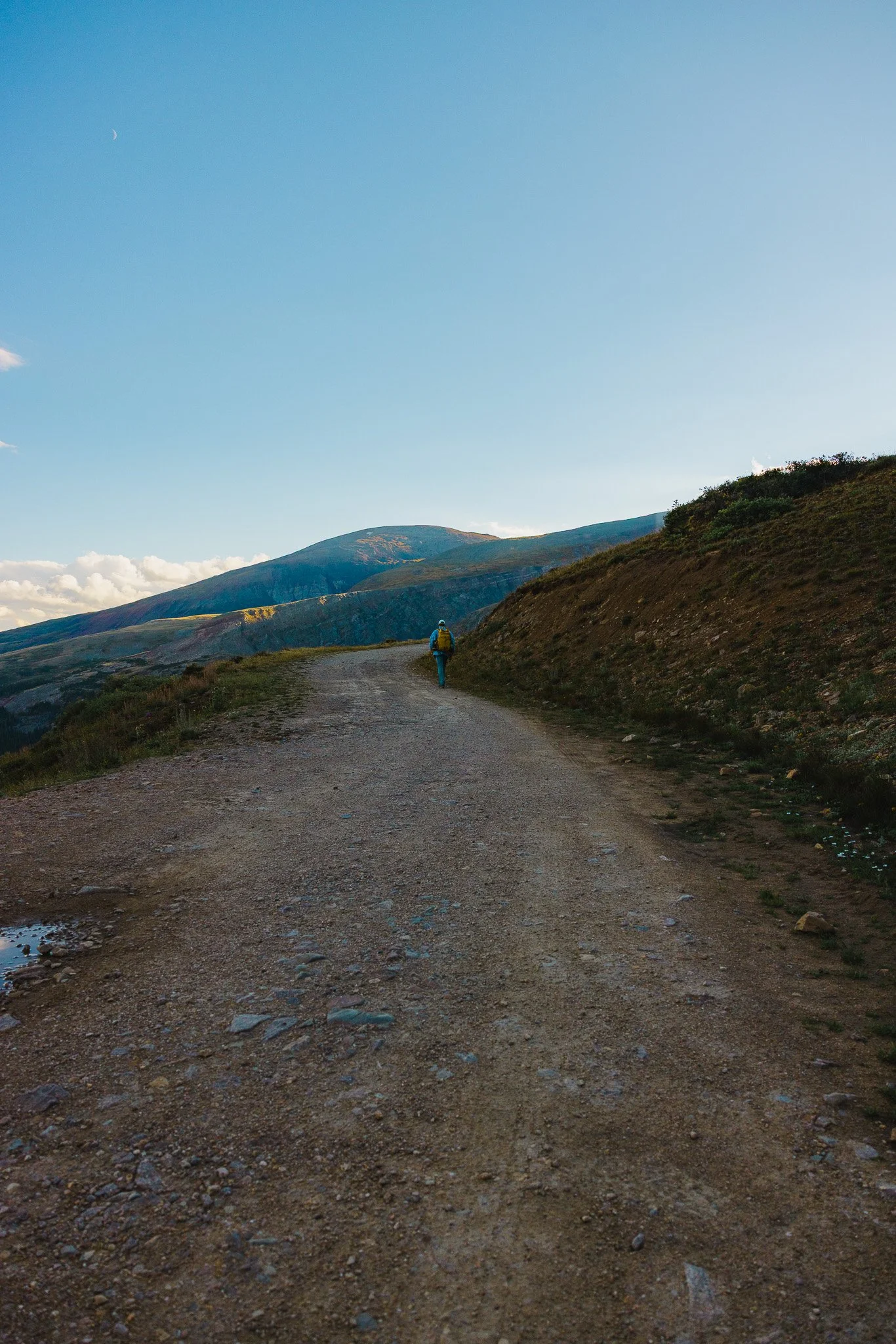
The service road will take a few turns and you’ll be able to see most of the road as you continue to trek up the mountain. I love this part of the hike because the views are so vast and it’s such a peaceful part of the trail. On weekends and holidays, you can expect there to be more people hiking the trail, but on a weekday, you’ll more than likely have the trail to yourself!
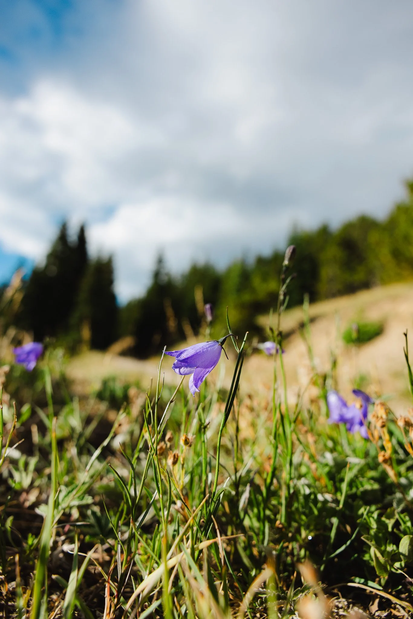
There typically aren’t any wildflowers on this hike, but I did see a few Harebells on the way up, also known as the Scottish Bluebell.
You’ll eventually come to a fork in the trail, make sure to stay right and if you look straight ahead, you’ll be able to see the legendary 14,000 foot Quandary Peak off in the distance.
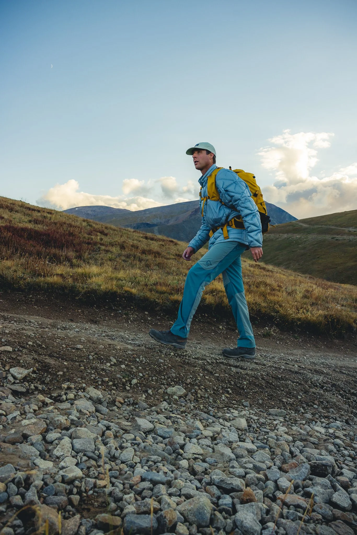
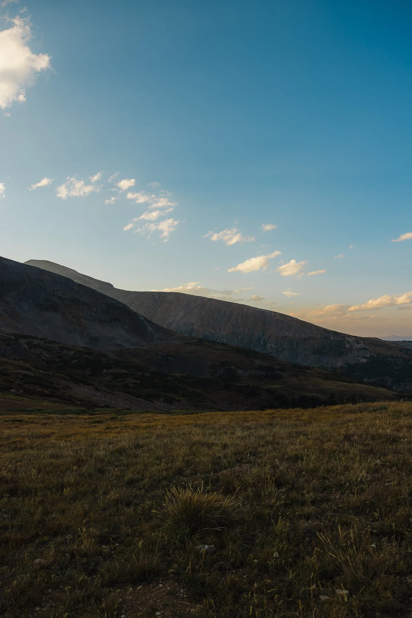
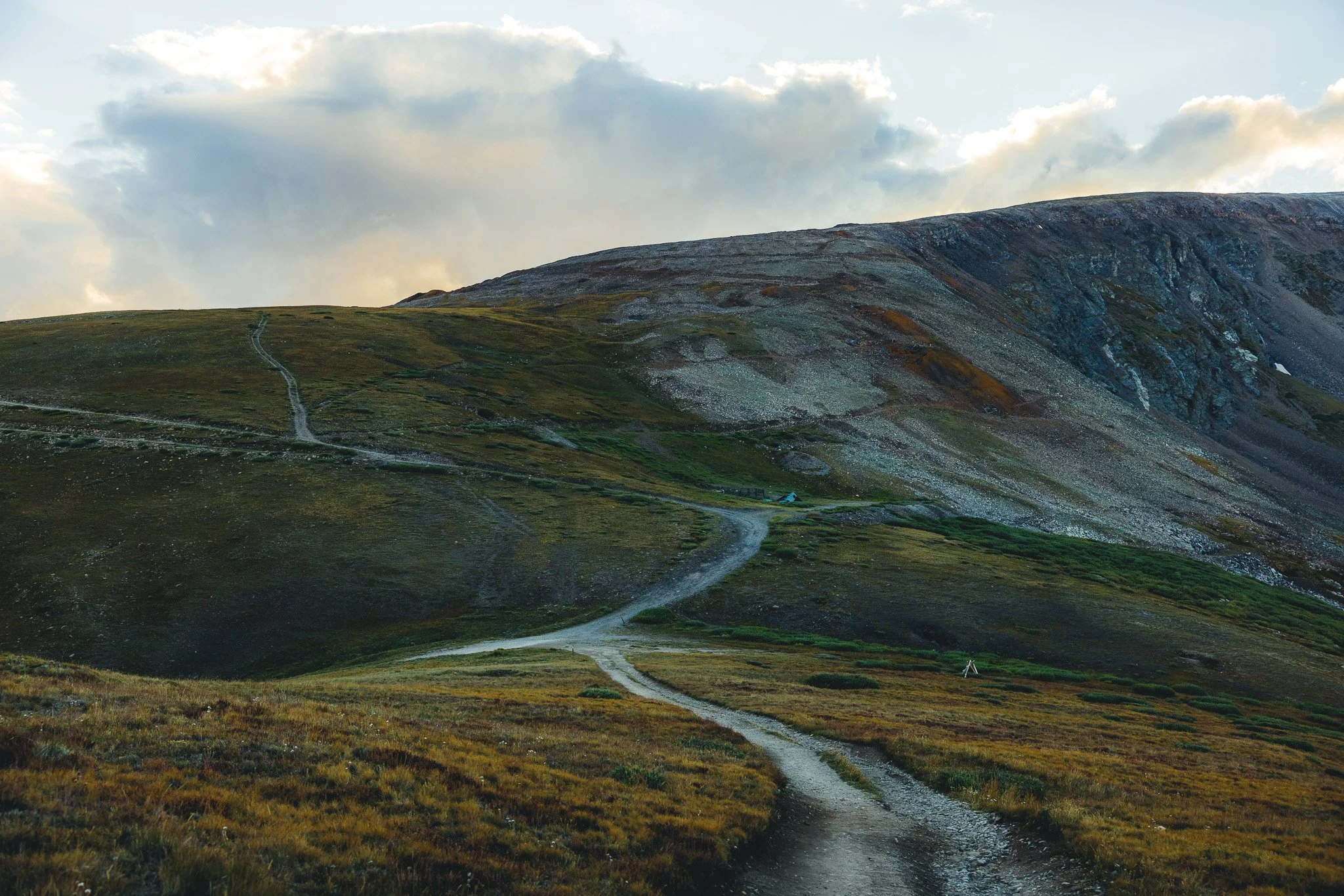
At the top will be essentially a wide open flat area with 360 degree views of all the surrounding mountain peaks. I believe if you look left that will be the Keystone/Montezuma area. It’s a perfect place take a breather, grab some water, maybe a snack, before hiking back down.
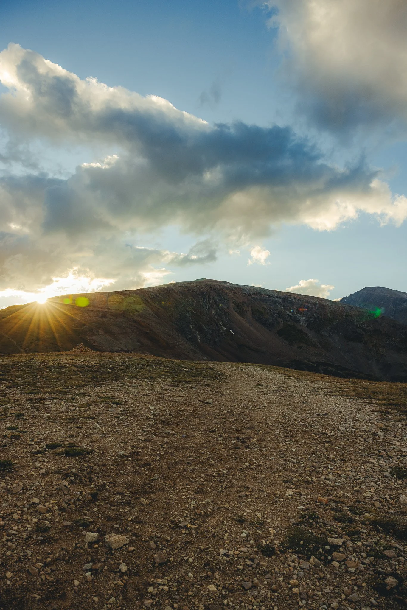
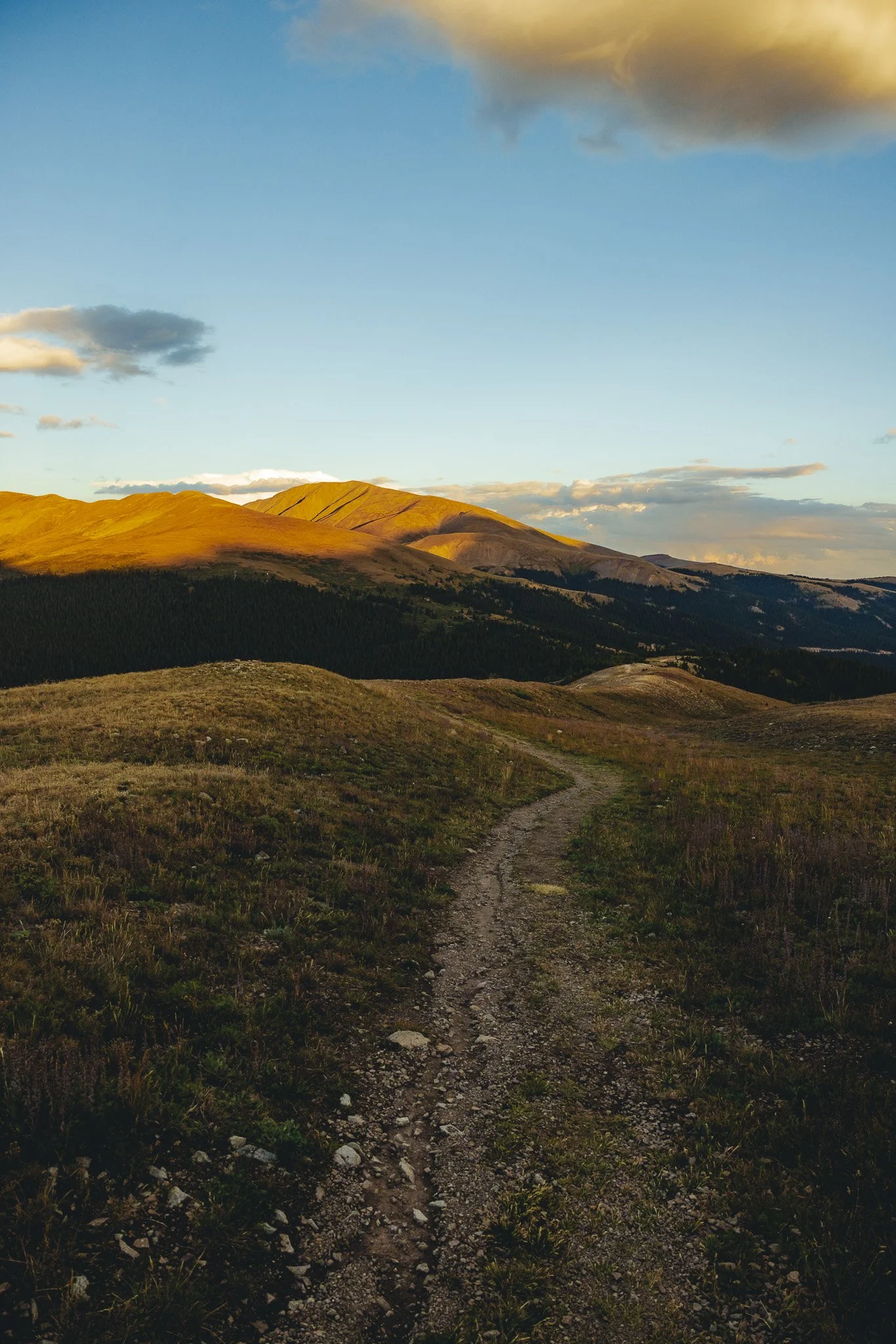
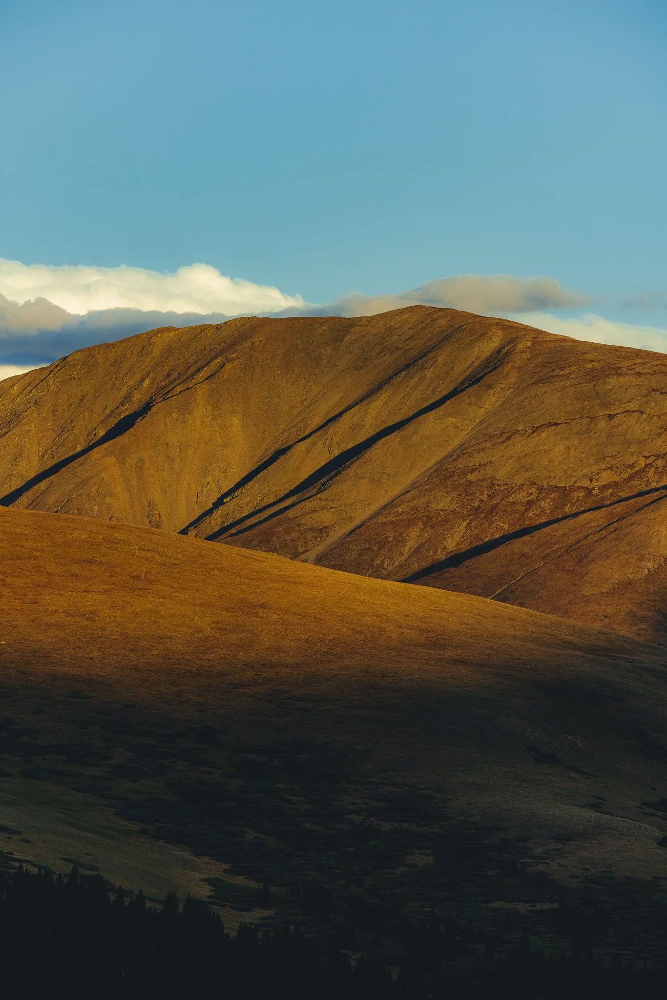
The hike down will be along the ridge line shown below. If you hiked this for sunset, enjoy the beautiful golden colors on the mountains as you head back to the parking lot.
That’s it for a hiking the Hoosier Pass Loop near Breck. If you’re looking for a fun adventure down the road, check out a vacation to Buena Vista. Lots of awesome outdoor adventures in this unique mountain town.