
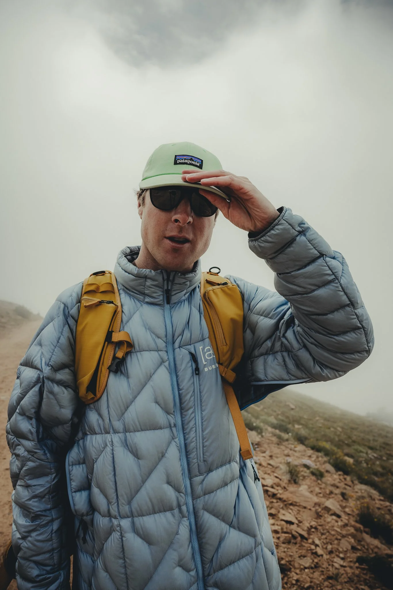
Welcome
I really started The Outdoor Gems to share outdoor experiences through photography and storytelling to inspire more people to get outside. If more people got outdoors; took a walk, hike, went snowboarding, sat around a campfire, and surfed in the ocean, I think the world would be a better place.
-Jeremiah
The Latest

Best Mountain Towns, The complete Adventure Guide to Salida Colorado
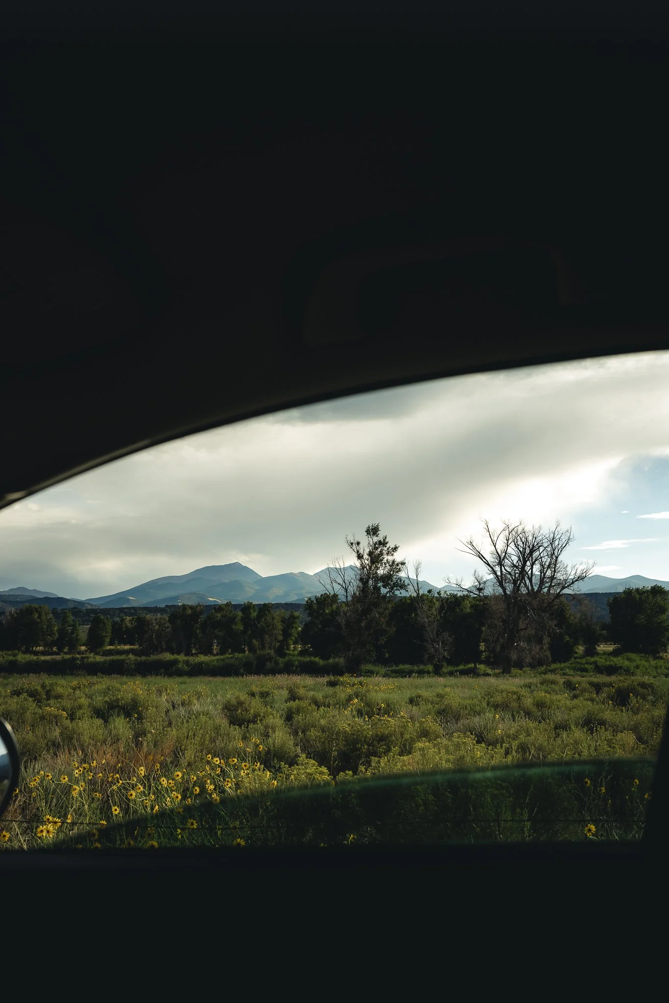
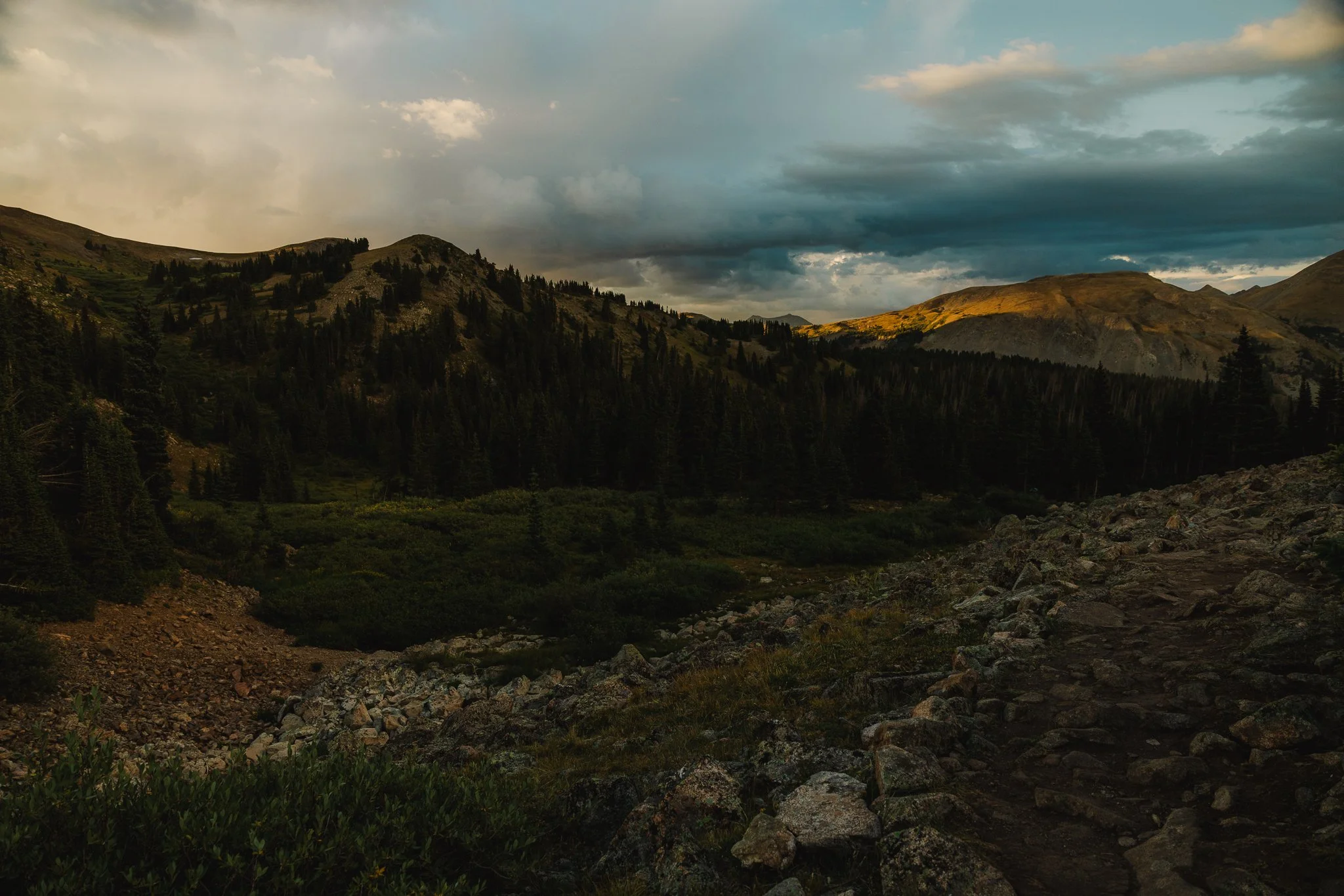
Somewhat of a sleeper mountain town, Salida is a place where one would find just about every outdoor Colorado adventure there is to offer. Not far from Buena Vista, Salida also feels like a surf town, but with a 1960’s feel to it. I first discovered Salida after hearing that they had river surfing. I ventured over from Breckenridge and realized how unique and adventurous the town and surrounding mountains felt, so I knew I had to explore the area more.
Disclosure: When you buy something through the Affiliate product links I have created below, I earn a small commission. I only promote products and companies I support as well as believe in
Somewhat of a sleeper mountain town, Salida is a place where one would find just about every outdoor Colorado adventure there is to offer. Not far from Buena Vista, Salida although different also feels like a surf town, but with a 1960’s vibe to it. I first discovered Salida after hearing that they had river surfing. I ventured over from Breckenridge and realized how unique and adventurous the town and surrounding mountains felt, so I knew I had to explore the area more.
If you’re interested in a mountain town farther from the front range with a warmer climate, this town is definitely one to add to your Colorado bucket list. In this post I’ll be going over some hiking trails and fun outdoor adventures, along with where to stay and of course eat. Alright let’s do this!
Where is Salida
Salida is pretty close to the middle of Colorado and about 2.5 hours south of Denver in Chaffee county. Distances from major Colorado areas are..
Boulder: 3 hours/153 miles
Breckenridge: 1.5 hours/79 miles
Colorado Springs: 2 hours/104 miles
Where to Stay
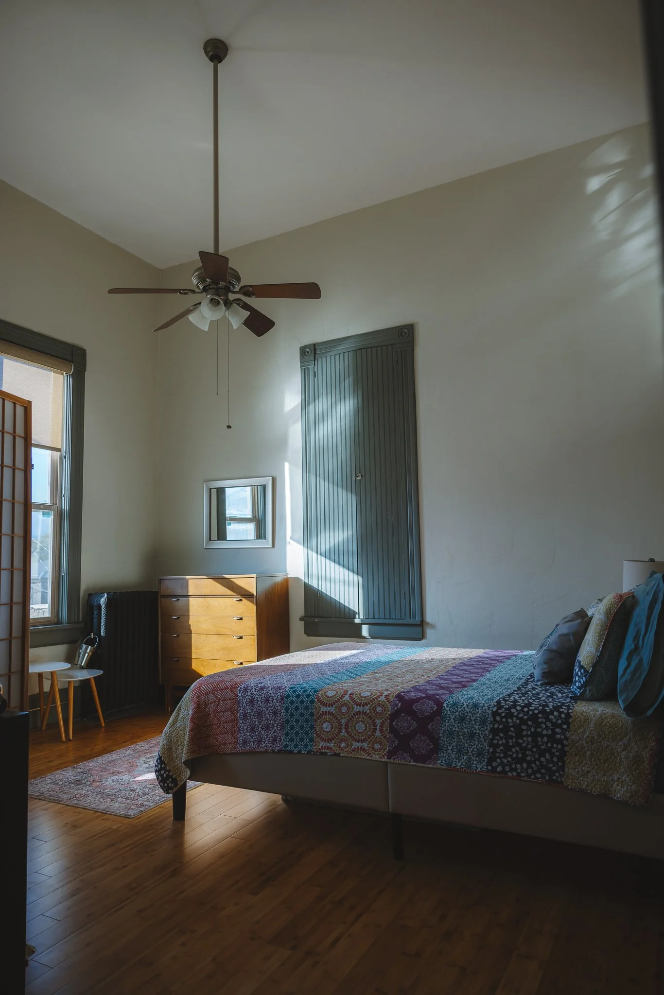
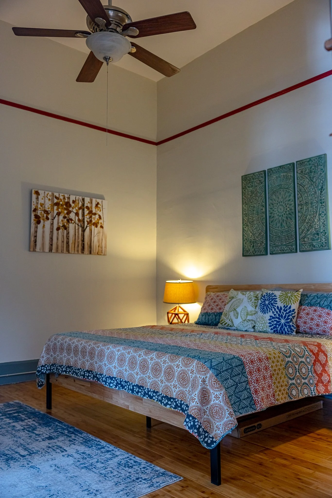
There’s a number of places to stay that are right in the downtown area. I stayed in an awesome loft above a coffee shop with two bedrooms and two bathrooms that I booked through VRBO online. The only downside was parking, as it was street parking only. However, if you’re out going on adventures during the day, then it won’t be an issue!

Any campgrounds nearby
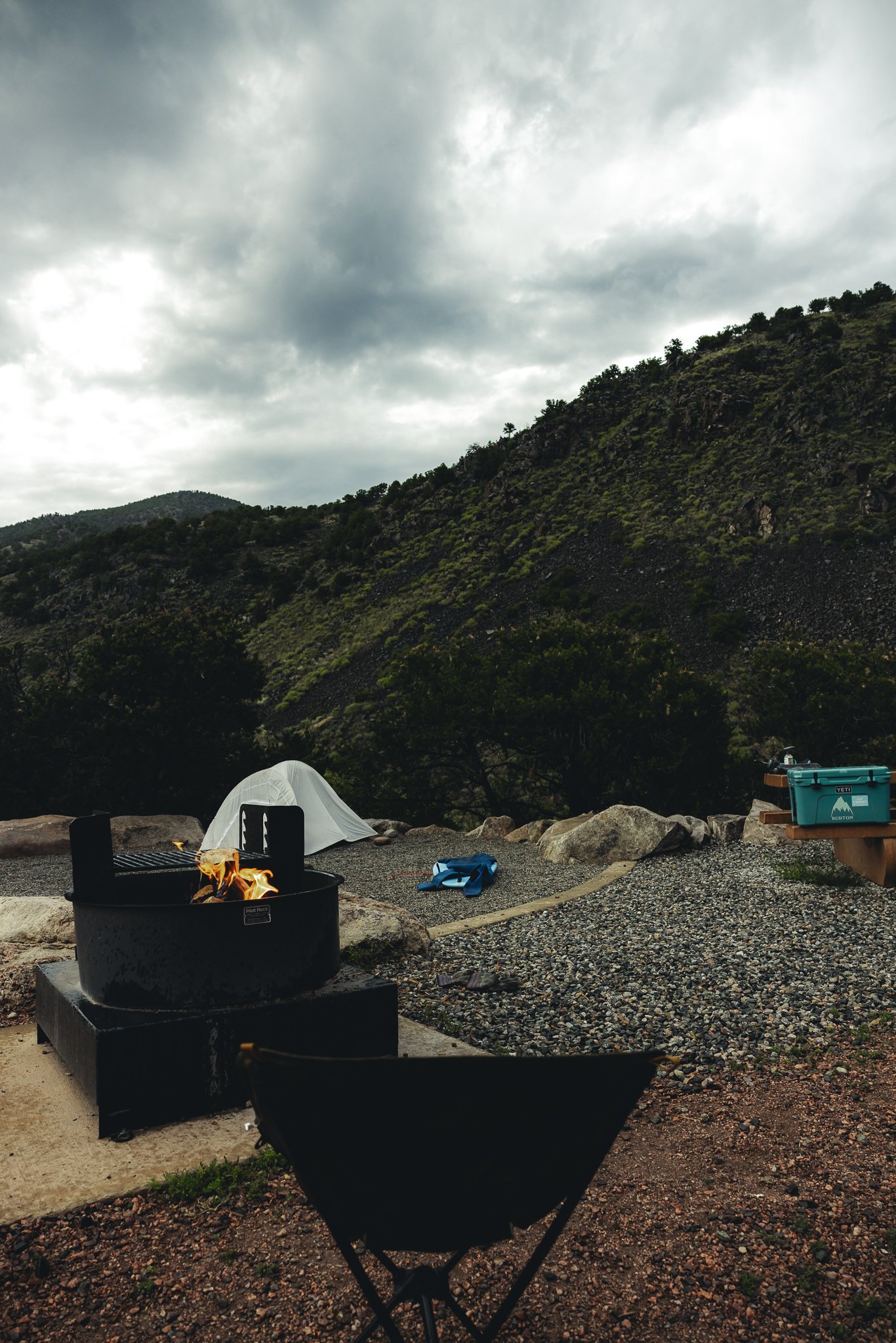
Yep, there are campgrounds nearby, and those can be booked under the Colorado Parks and Wildlife website. I camped at the Salida East campground which was newly renovated and was right on the Arkansas River. Only about a five minute drive to town as well, which was nice. I know sometimes with camping it can be a little more remote in areas and you aren’t as close to the town. But I guess it depends on what you’re looking for.
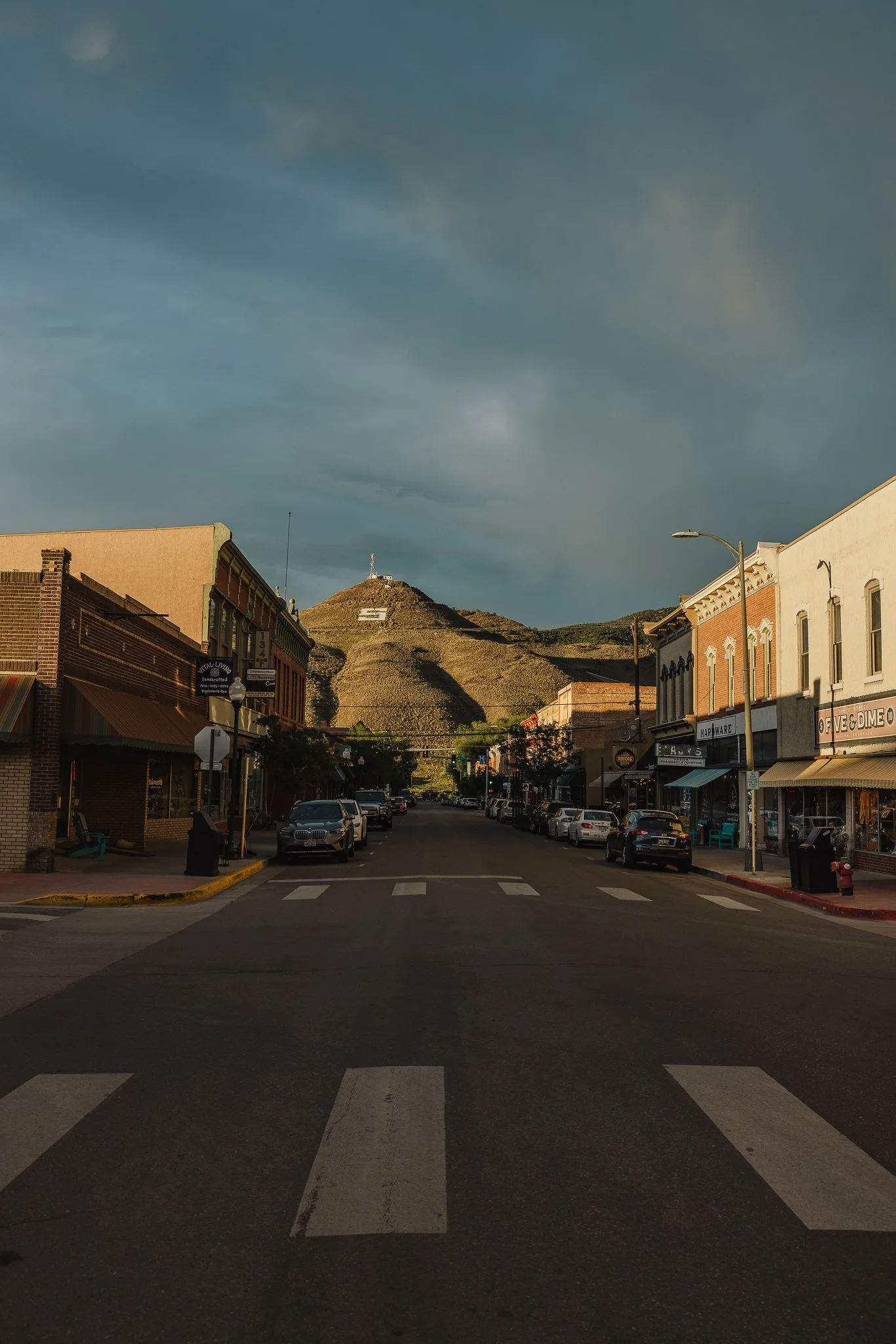
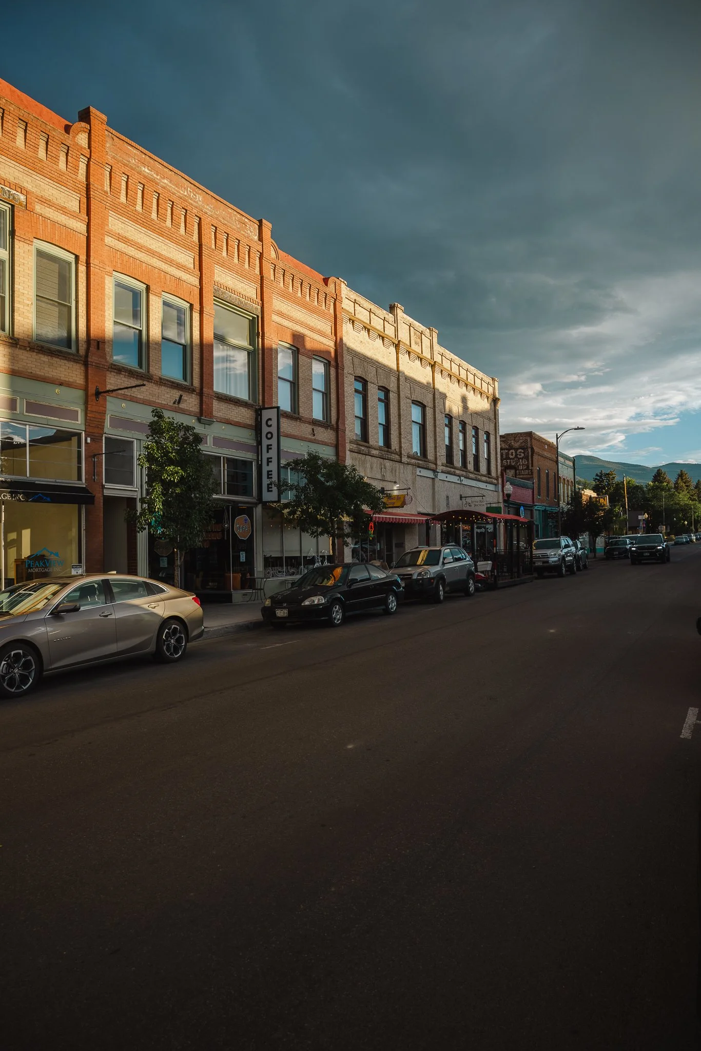
What is the town like
It’s a mountain town that is more community than tourist and most people are welcoming and friendly! Walk into any store and people will strike up a conversation. Salida is the type of place where you’ll see people biking around, saying hi to friends and neighbors. That’s what I liked so much about this area when visiting and it kept me returning throughout the summer.
Any good shops or boutiques
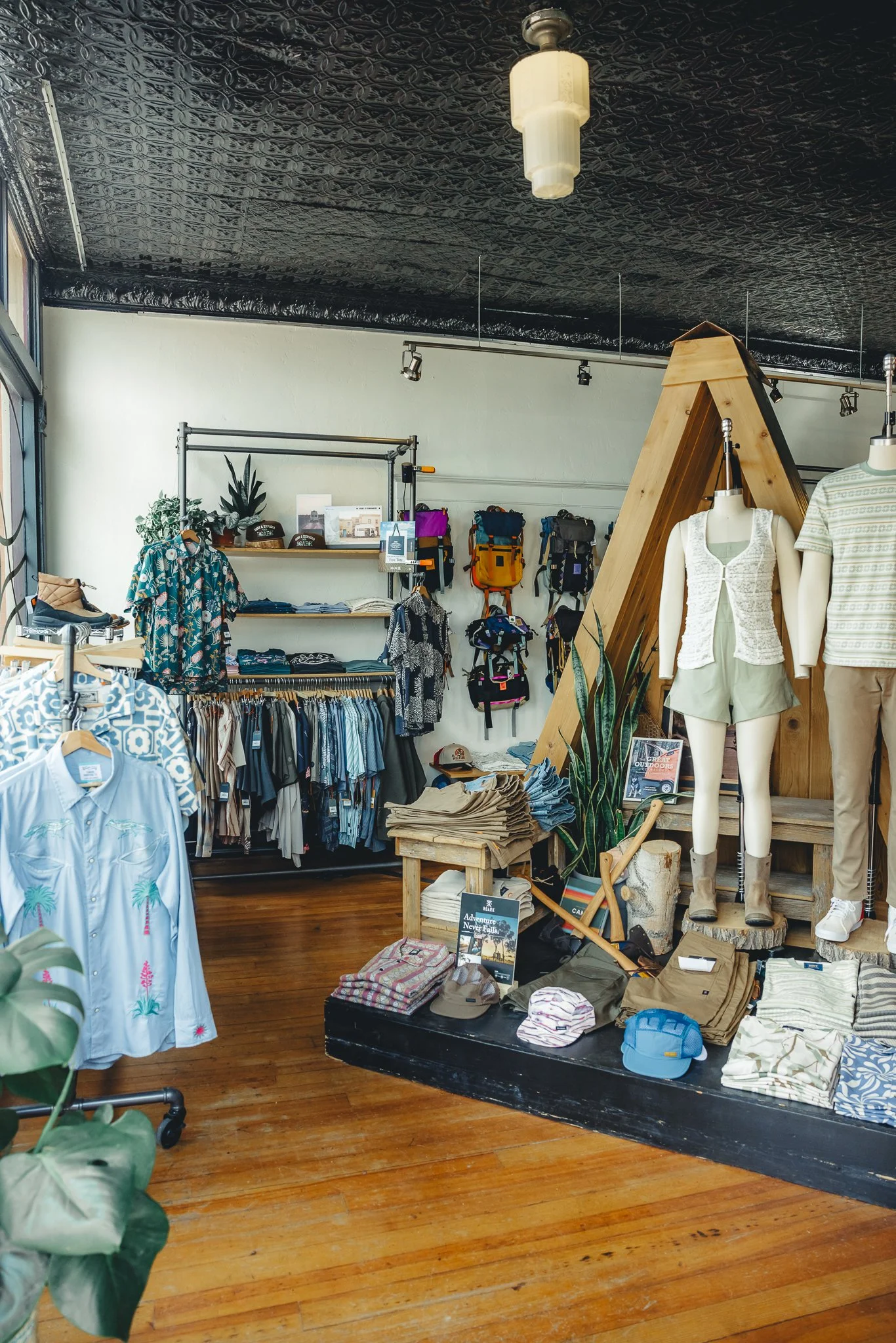
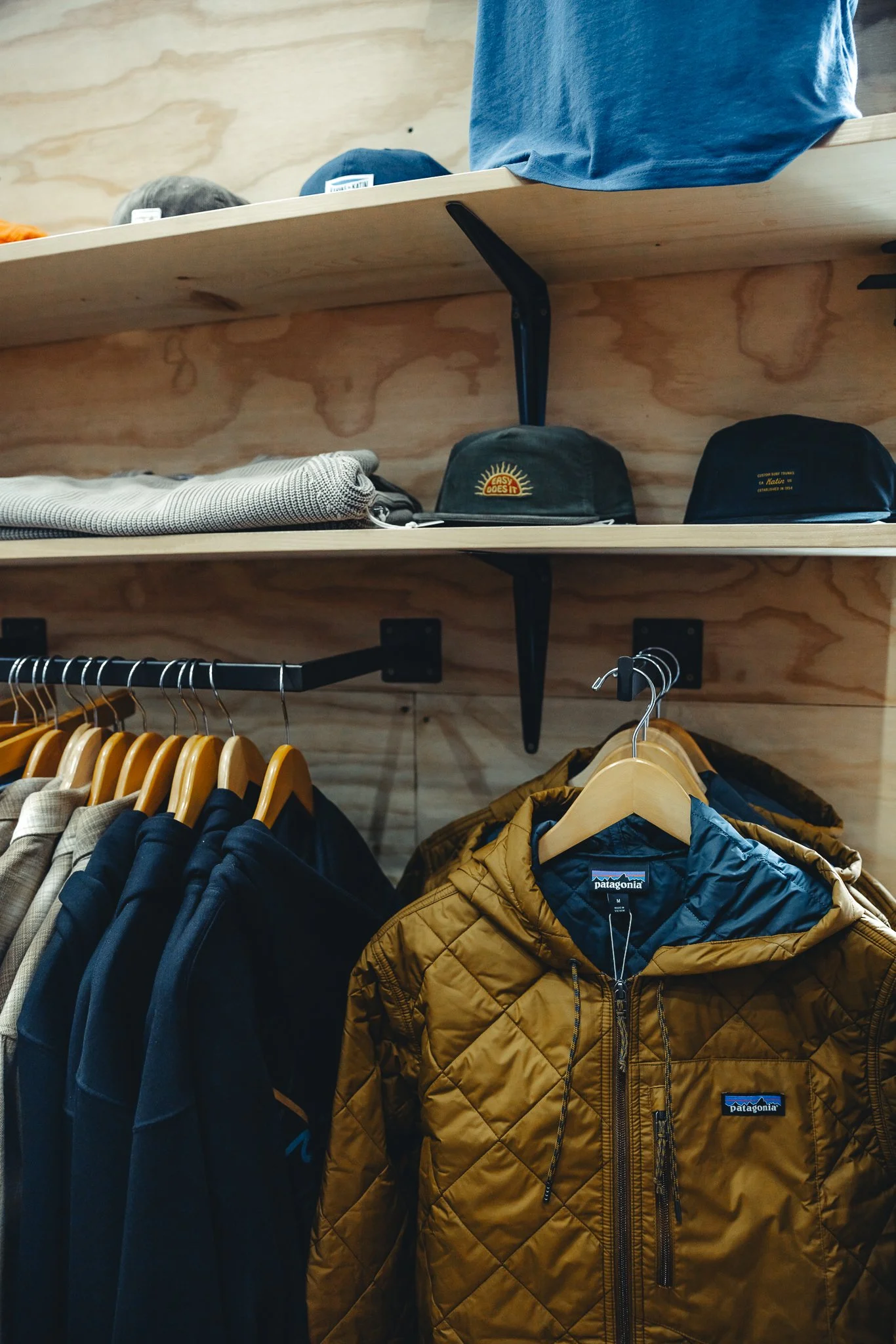
There’s a number of awesome stores in the downtown area including Adventure Post and Salida Mountain Sports for all your outdoor gear needs. These two will have just about everything necessary for a hike, camping trip, or bike trail.
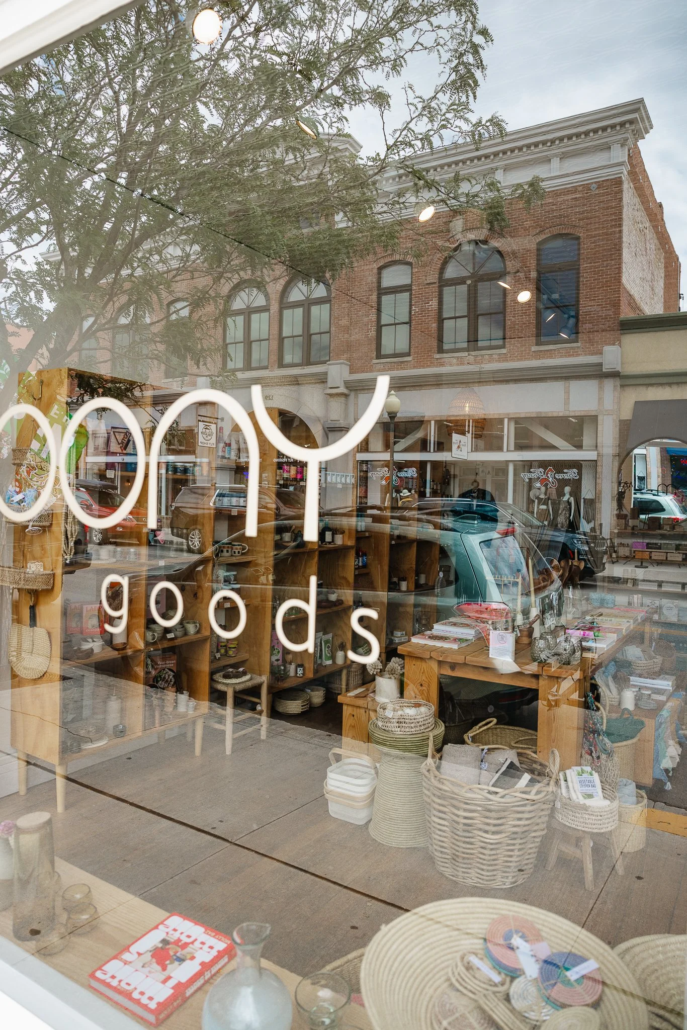
Looking for home decor and goods? Check out Moony Goods on main street. It has a captivating window so you can’t miss it.
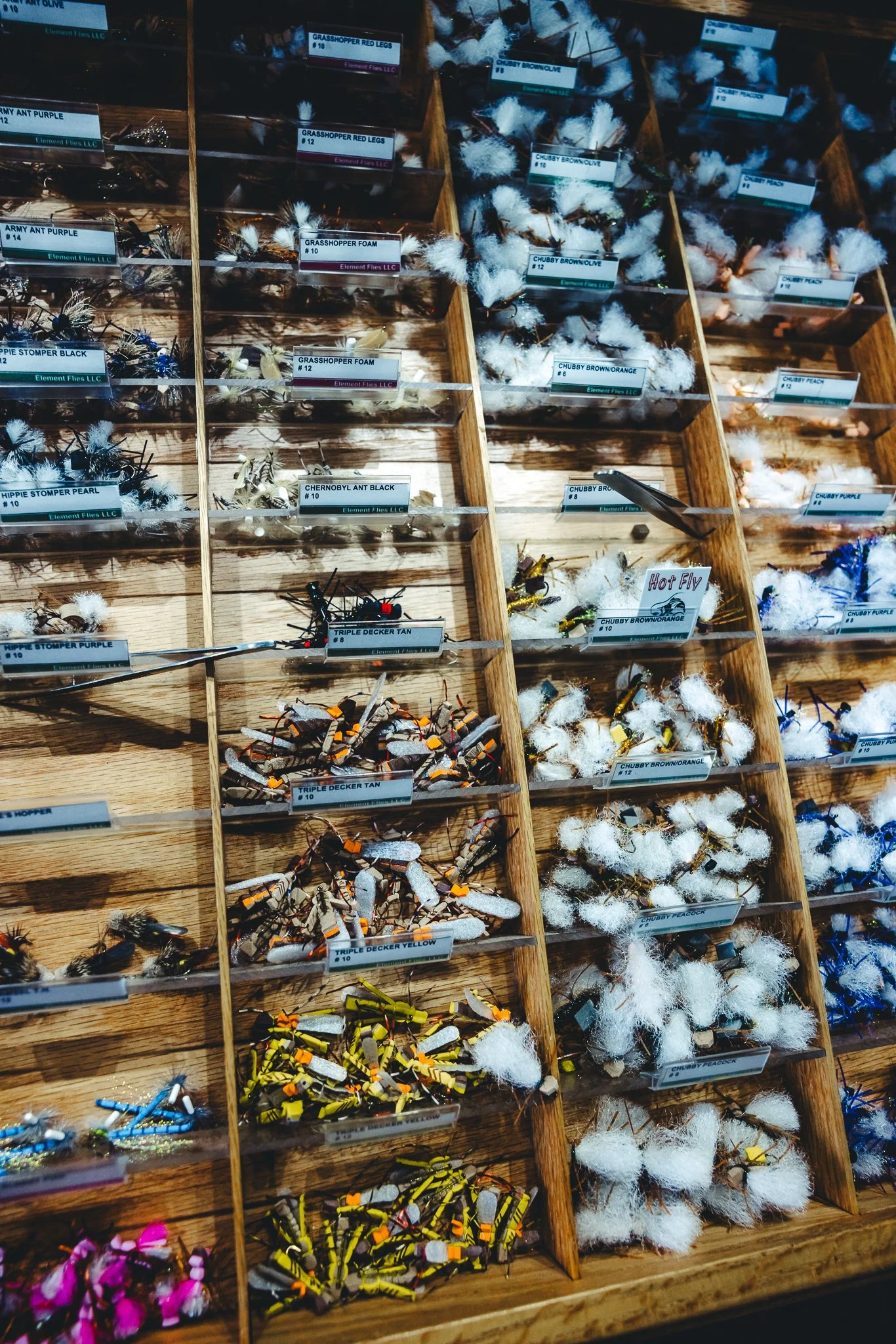
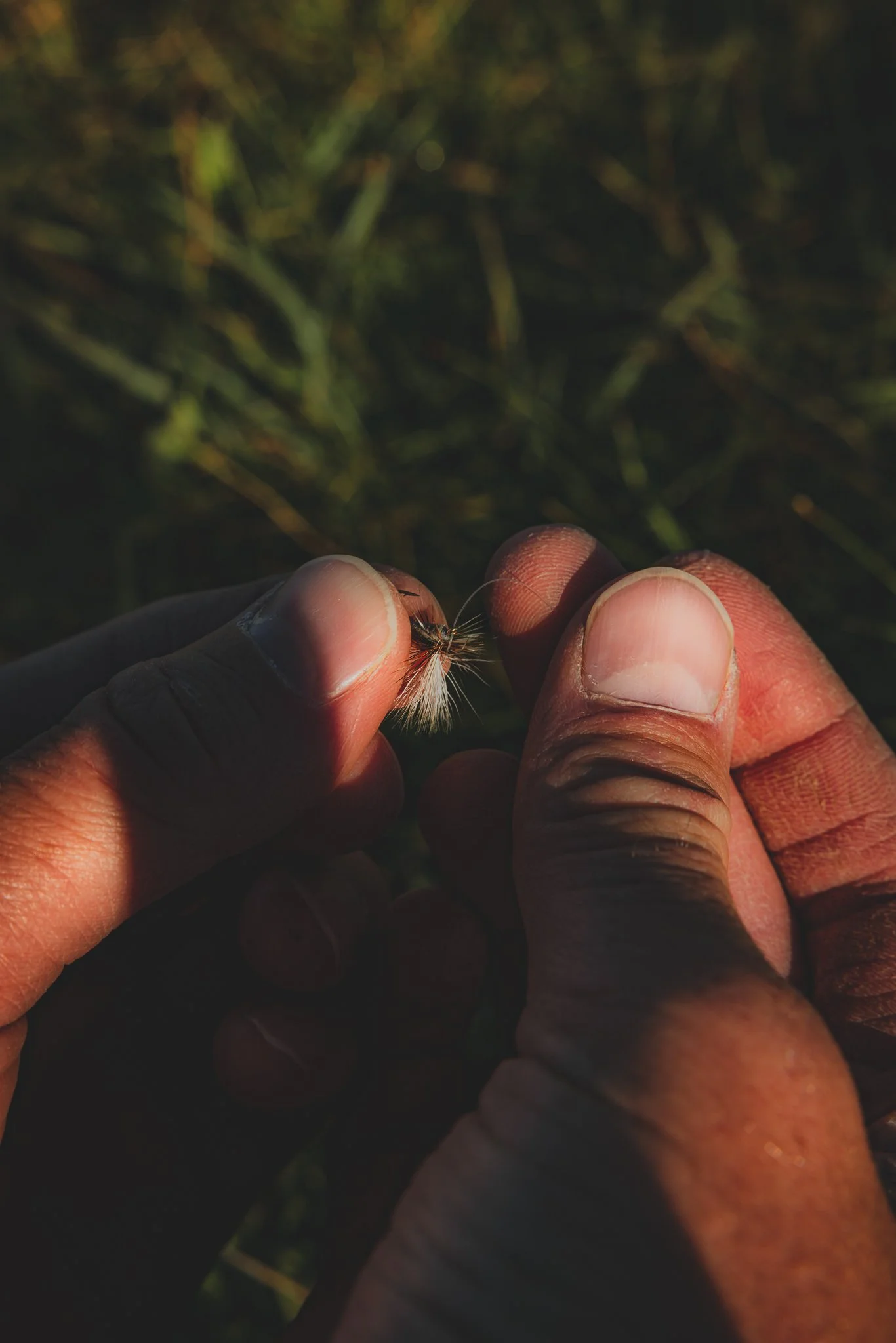
One of my last favorite stores will be The Next Eddy fly shop. From flies to waders, this store has all you could want for a day on the river. They also rent equipment and offer guided trips! I would make sure to book in advance if you plan on fly fishing during peak summer season.
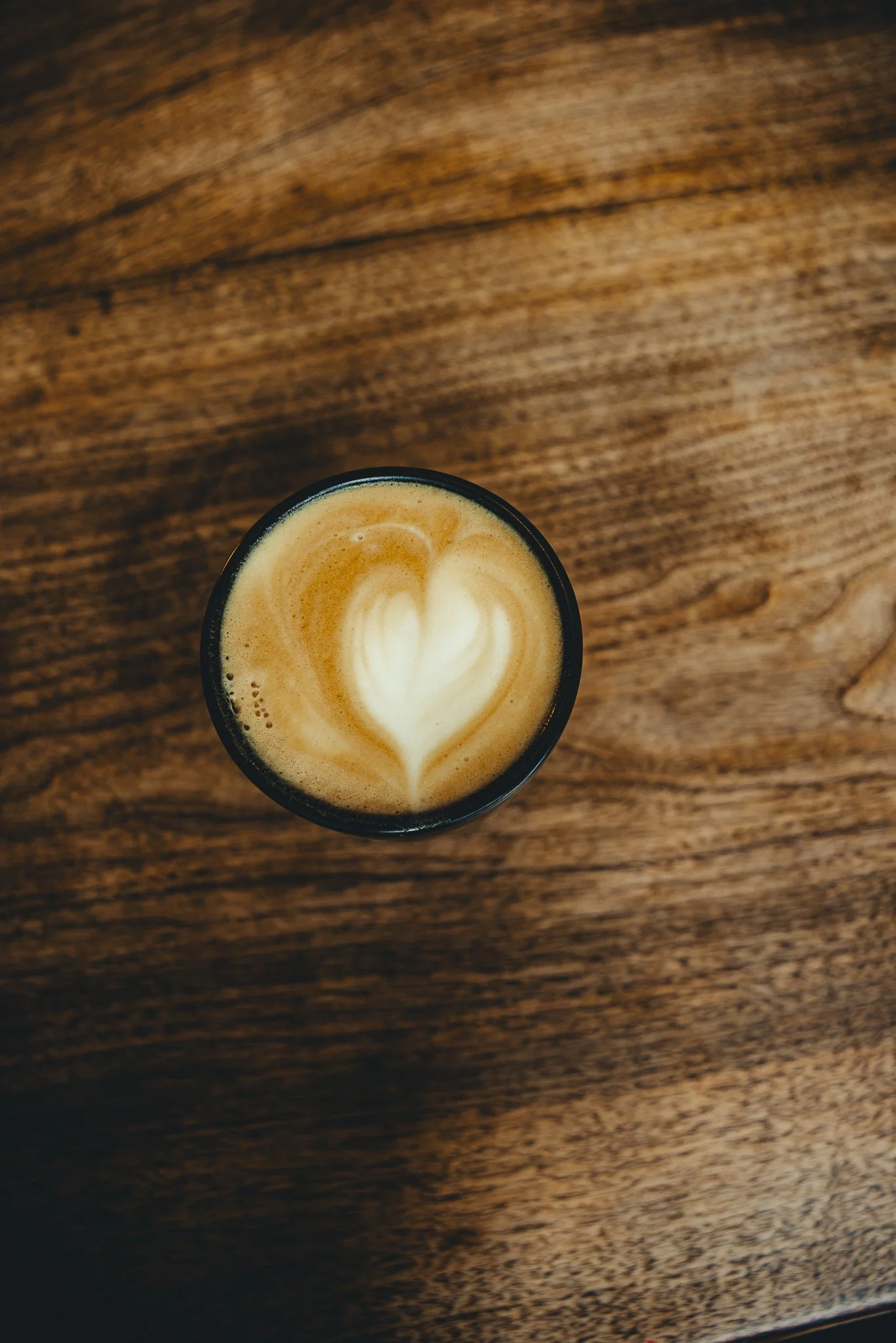
Favorite Coffee Shops and Breakfast?
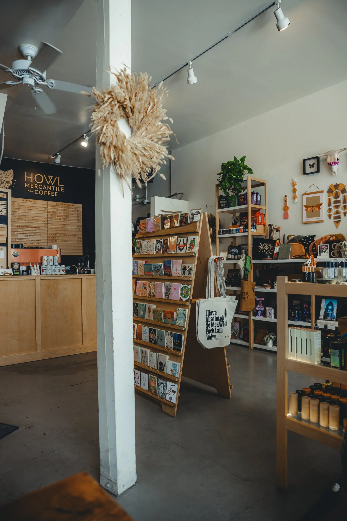
There’s a couple really good ones, my favorite is Howl Mercantile & Coffee. Love the vibe in there. They’ve got some retail, cards, home goods, and even ice cream. They’re open in the evening and it’s a fun place to stop into when it’s later in the day. Another popular coffee shop that was right below where I stayed, was Coffee by Topo, plenty of options to get your morning going along with breakfast burritos and baked items!
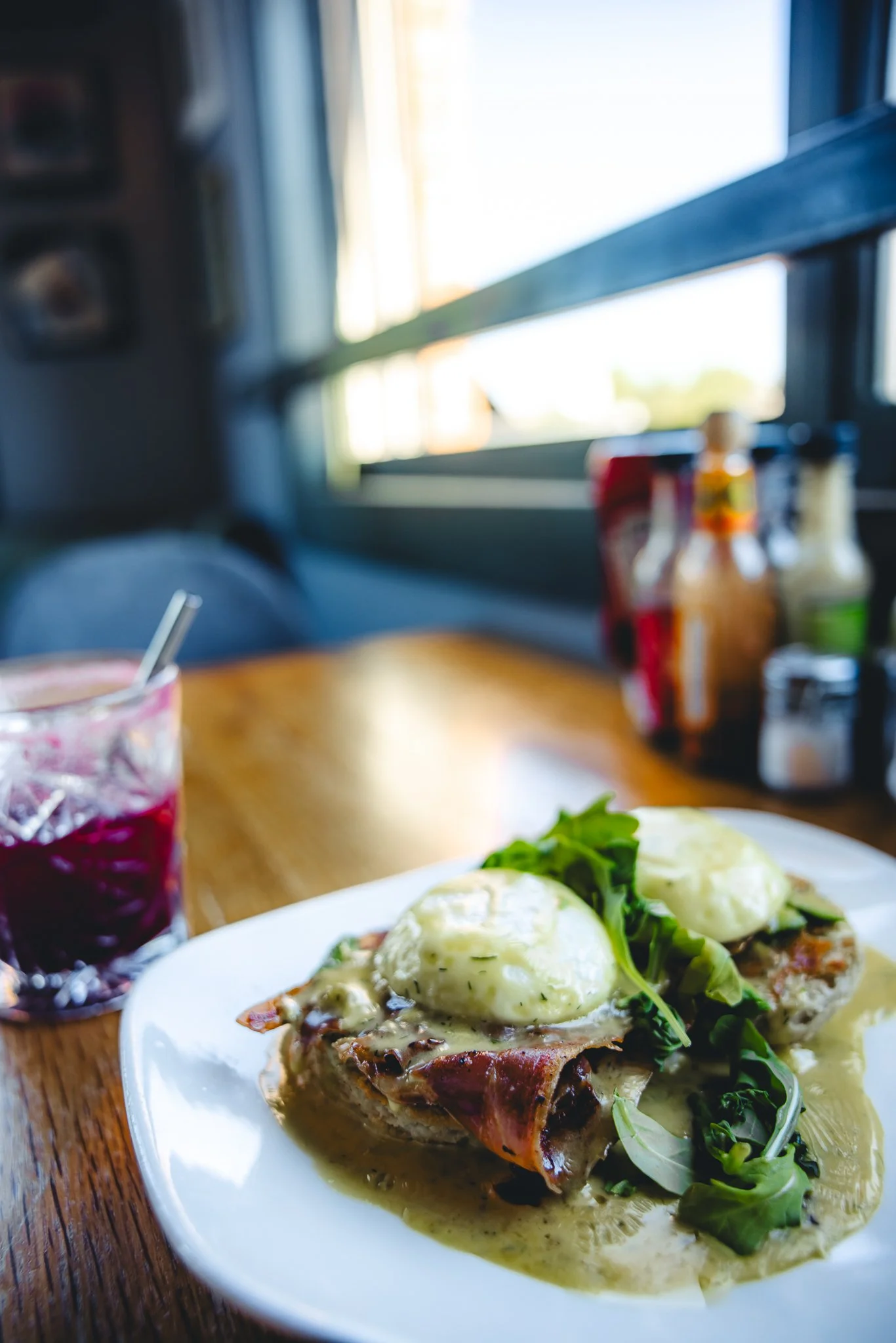
For breakfast, I tried The Biker and The Baker after reading some reviews, and it was great. They’ll have unique menu options, but I had to try the Baker Bennie. 10/10 would definitely go back there for a nice '“get the morning” started off on the right foot.
What restaurants would you recommend
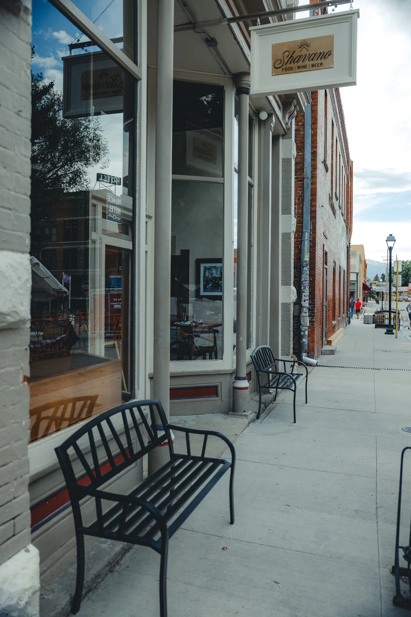
There’s going to be a good amount to choose from! Honestly my two favorite restaurants in Salida are Mo Burrito, which is like a Chipotle except locally owned and wayyy better as well as Shavano.

Shavano is going to be fine dining with a wine list, appetizers, entrees’ and dessert. The music and ambience in this restaurant are pretty damn good. The food and service made you feel right at home. Highly recommend making a reservation here if you want something more elegant!
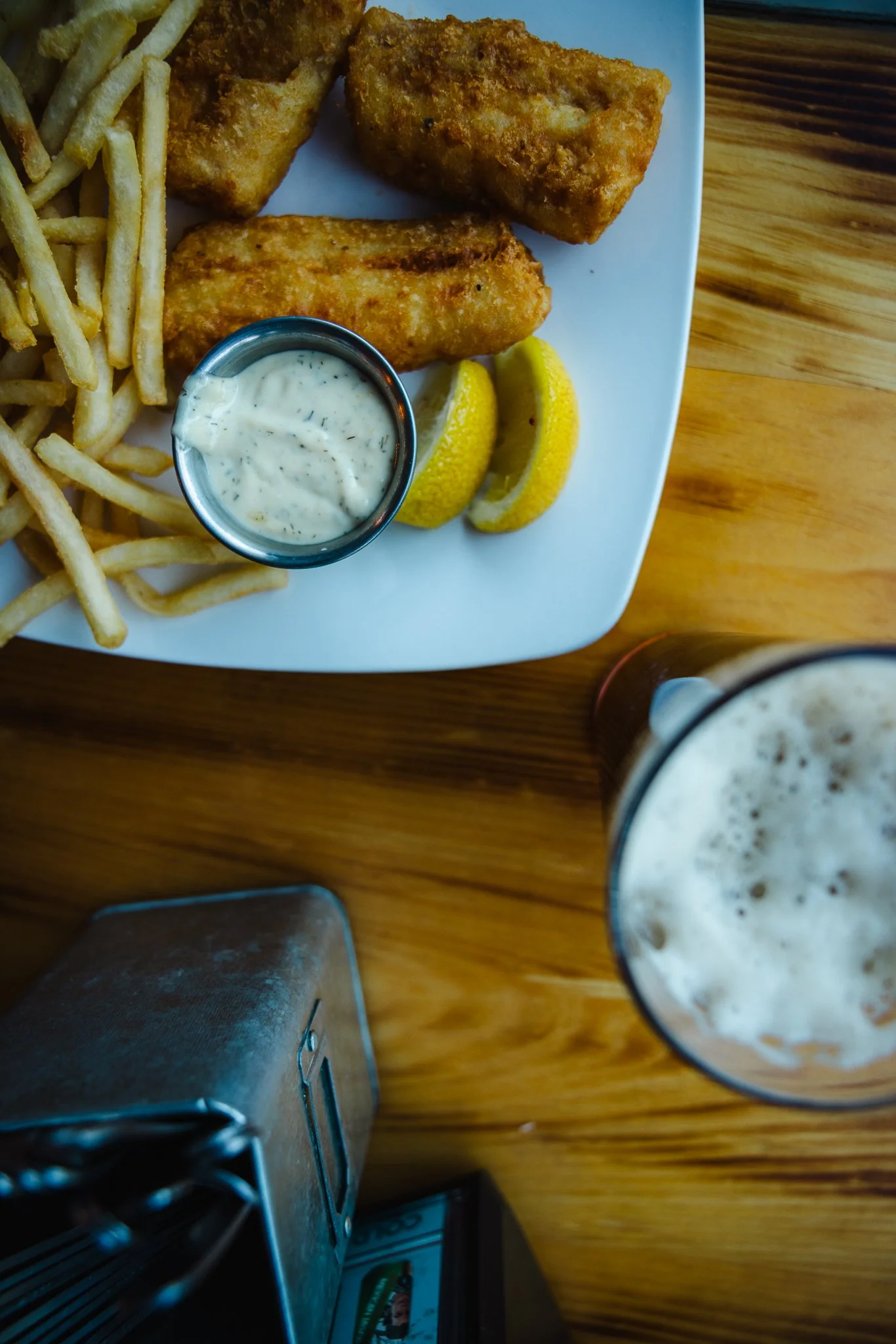
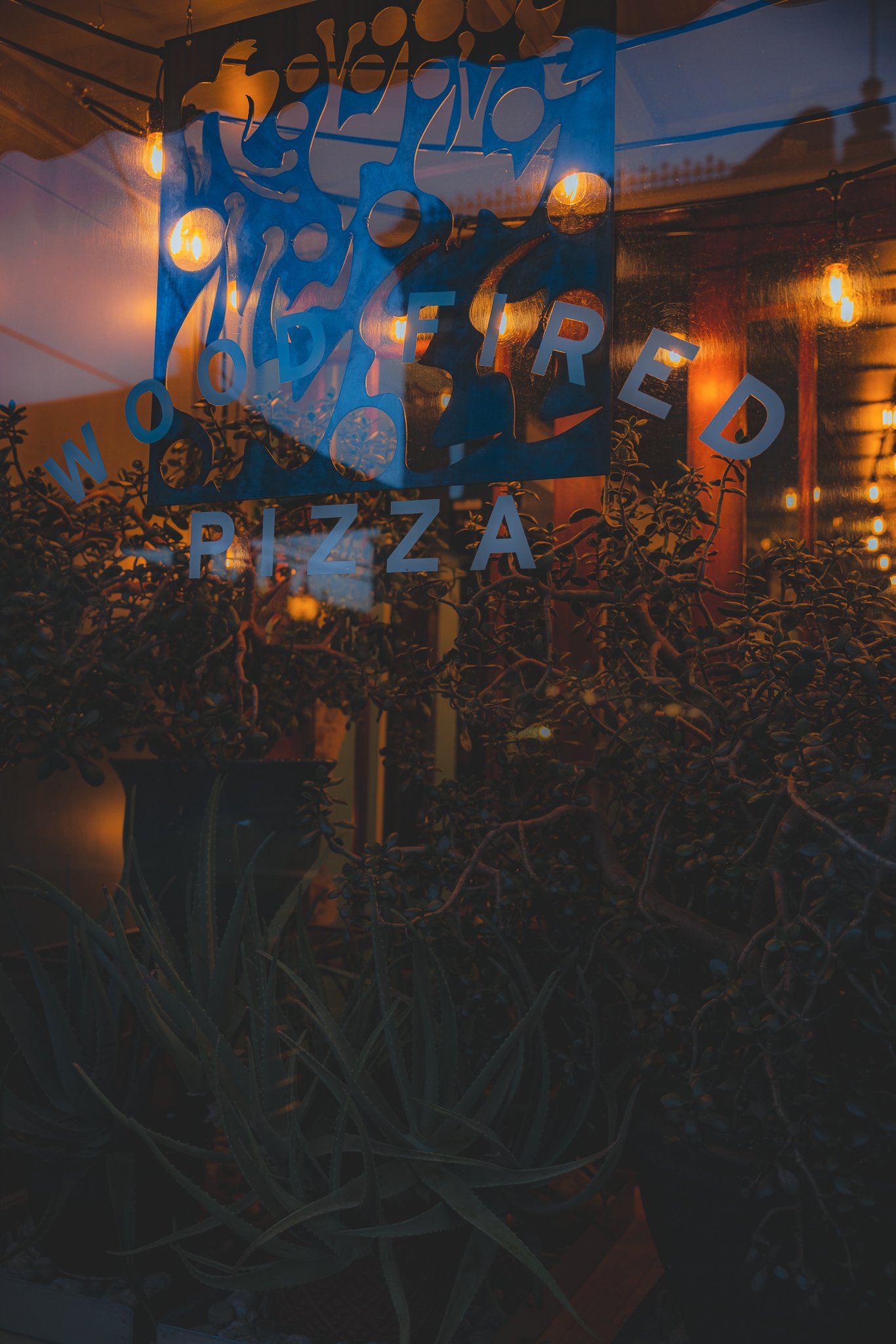
Other restaurants I really liked were The Boathouse, which will be right on the river. Perfect if you have a larger group or even kids. It’s going to be traditional American bar food that is locally sourced with the majority of the menu being made in house! For pizza I would recommend Amica’s (Wood Fire) or Pizza Rio. I never made it to Pizza Rio, but heard it was best pizza in town.
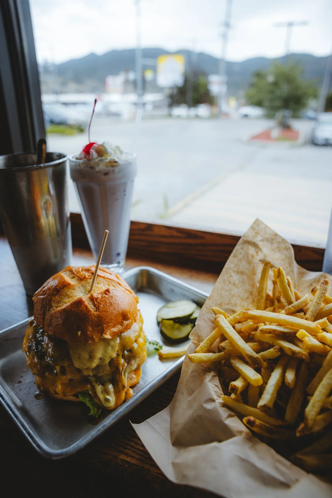
For Lunch you gotta go to Sweeties Sandwich Shop or 50 Burger Shakes and Beer. 50 Burgers will feel like a diner with a good amount of burger options as well as chicken to choose from. They will hook it up on the portions and the milkshakes are worth every penny. It will also be a little bit farther from town right on highway 50.
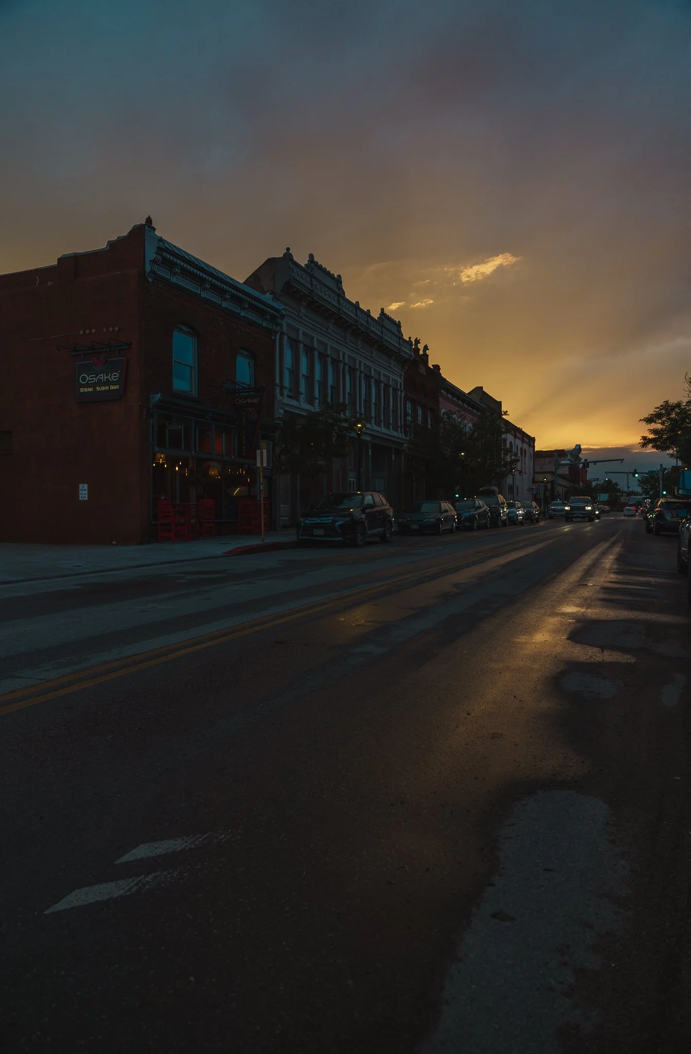
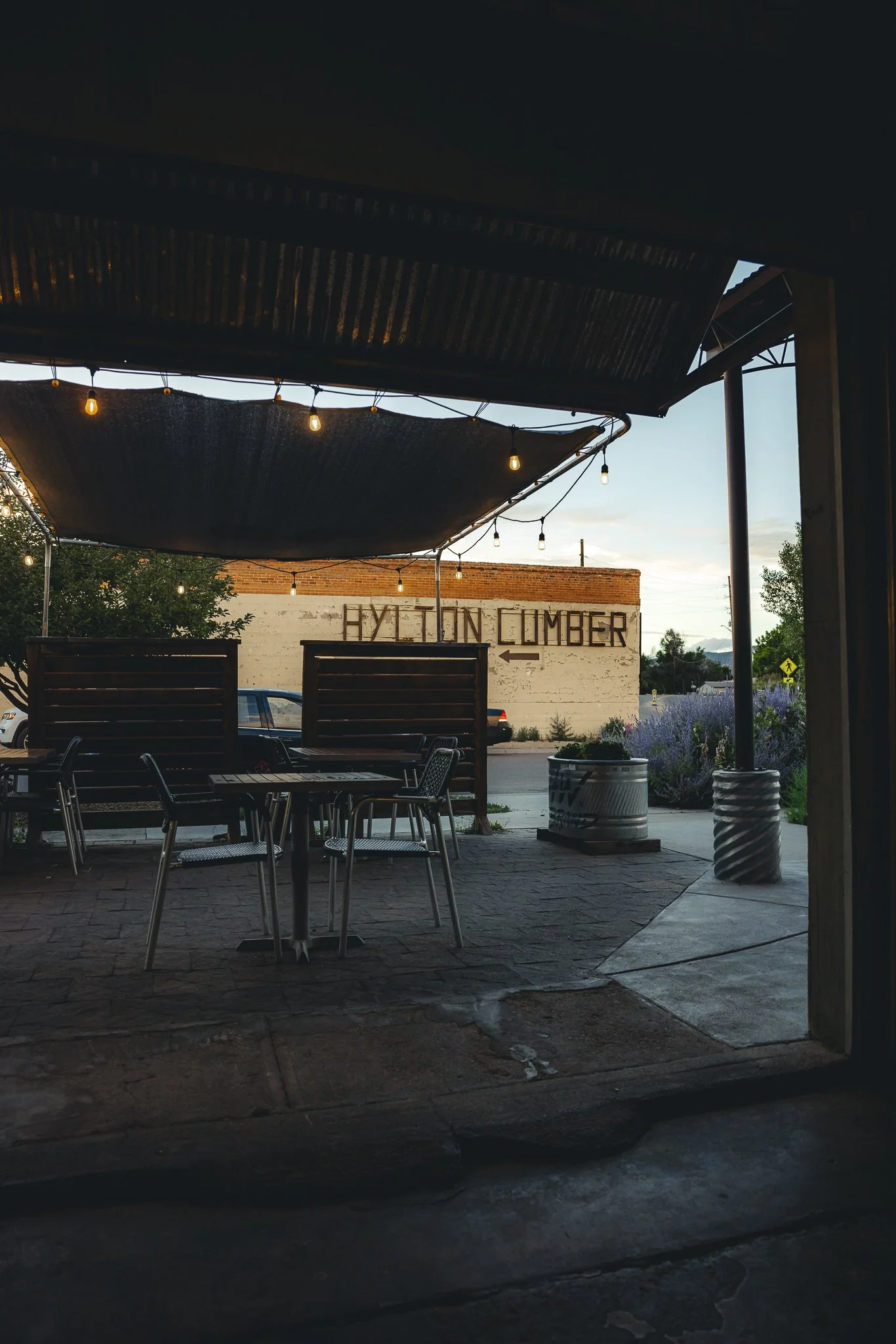
Any nightlife or good bars/breweries
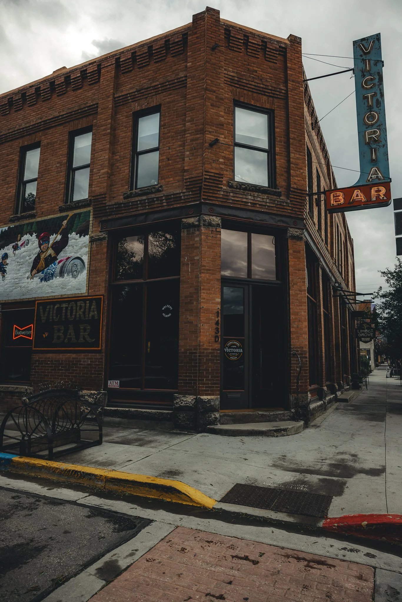
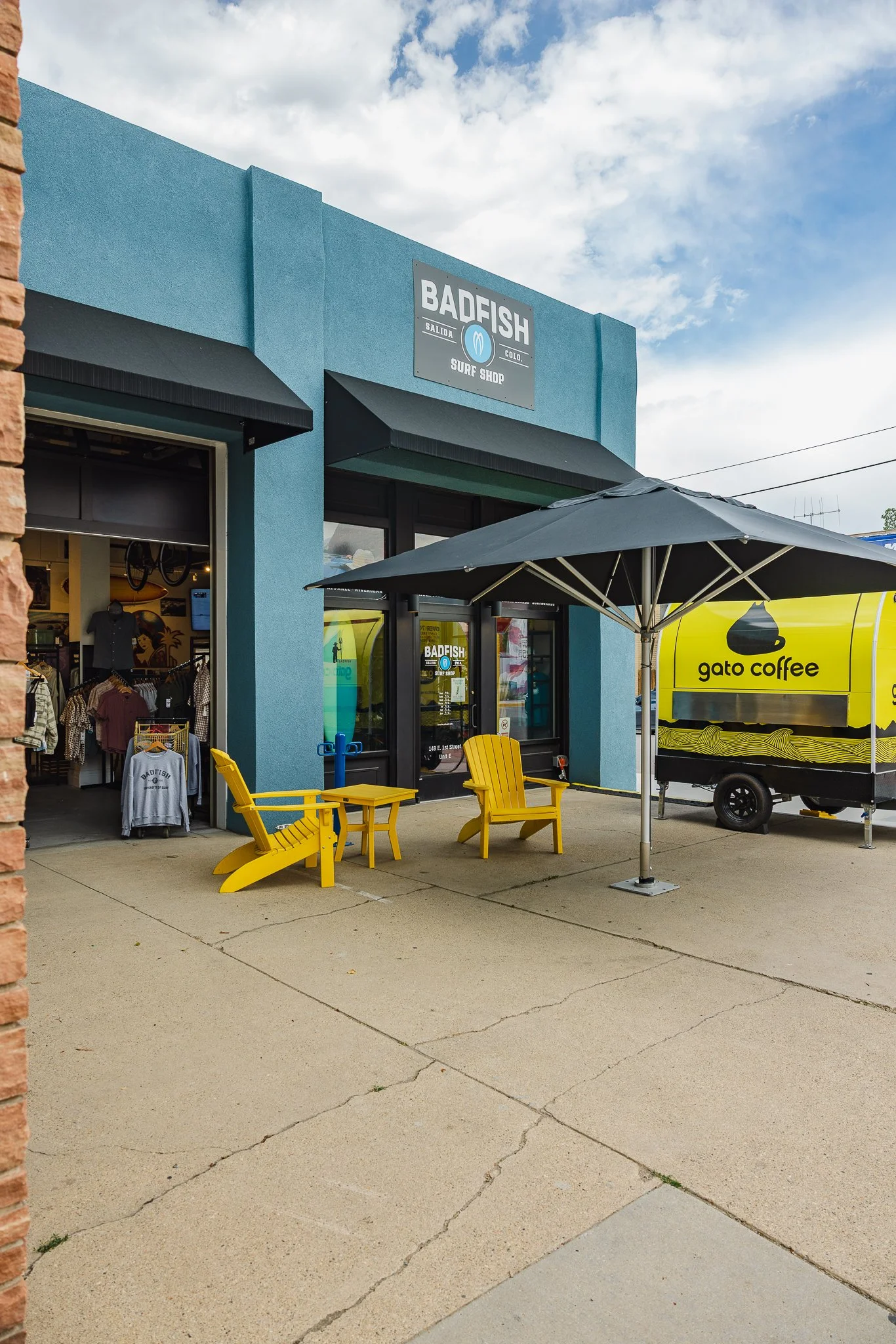
Salida does have a good amount bars and breweries compared to Buena Vista. They recently reopened the Victoria Bar, an old dive bar that was originally built in 1900! There’s also The Office bar and Library hall which will kind of have a sophisticated vibe with craft cocktails and on tap beer options. For breweries you have Salida Brewing Company inside the Boathouse Cantina and also Tres Litos right next to the Badfish Surfshop.
I liked stopping into Tres Litos for a beer after river surfing all day when it was golden hour and chilling on the patio.


When’s the best time to visit
Late May through late August is going to be your best weather window for summer activities and getting to experience all Salida has to offer! For river surfing depending on the snow year, mid May through early September will be the best time for the Scout Wave (more info below).
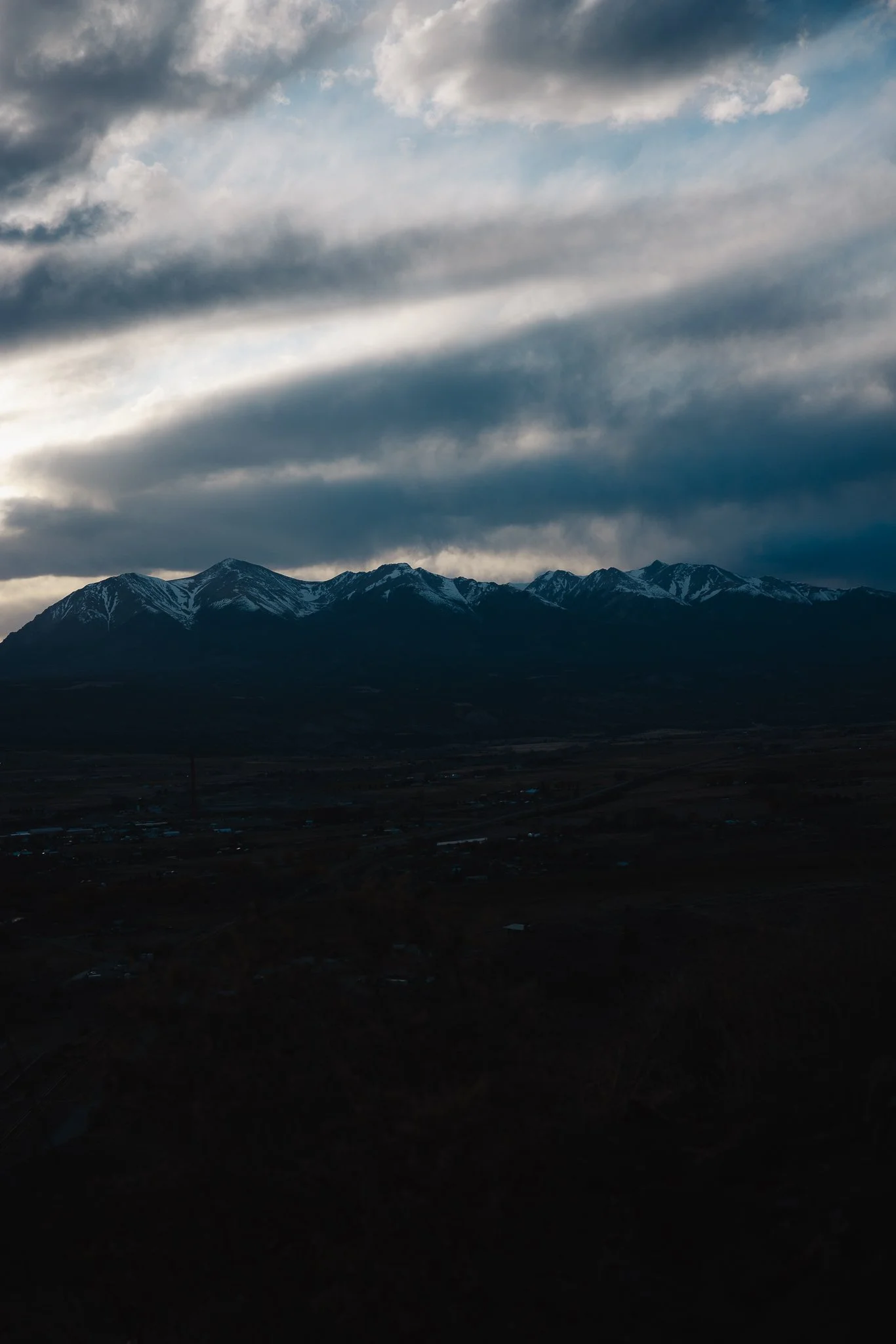
What makes Salida so special
The desert mountain climate mixed with being right on the Arkansas River make Salida unique and different than a lot of other mountain towns!
What outdoor activities are there to do for fun
Hiking
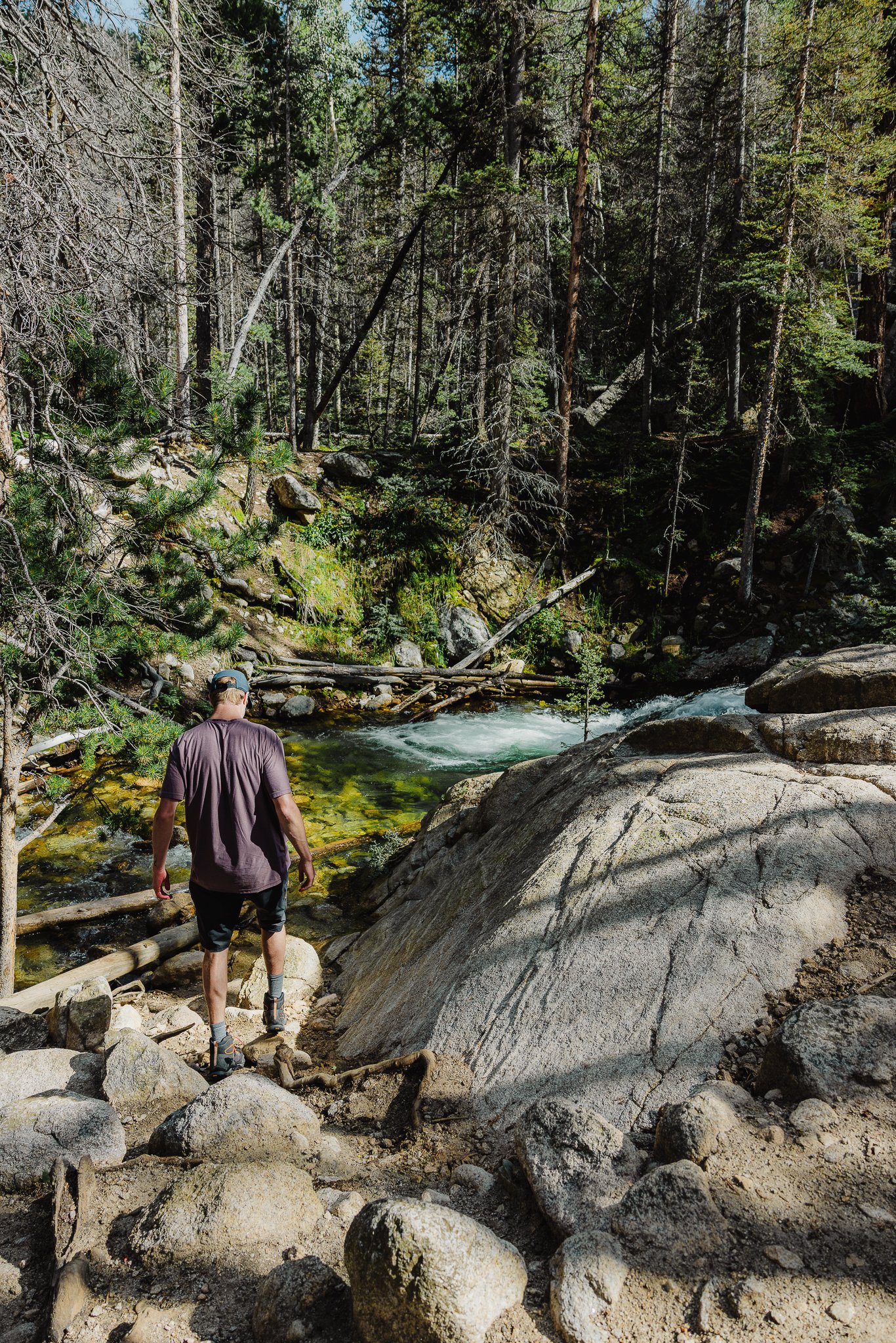
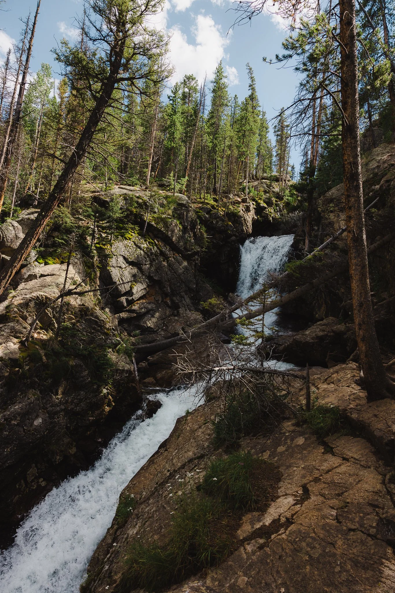
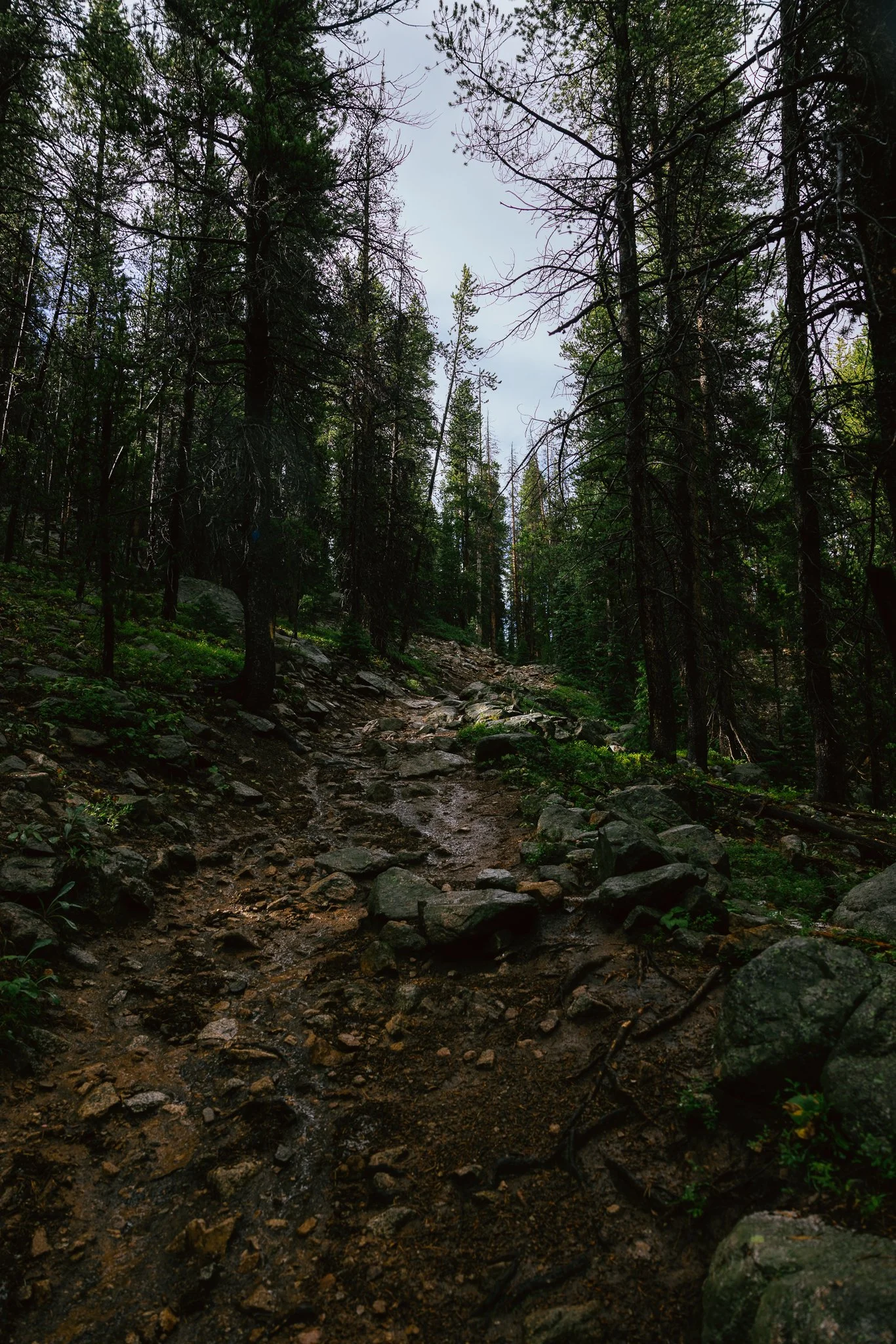
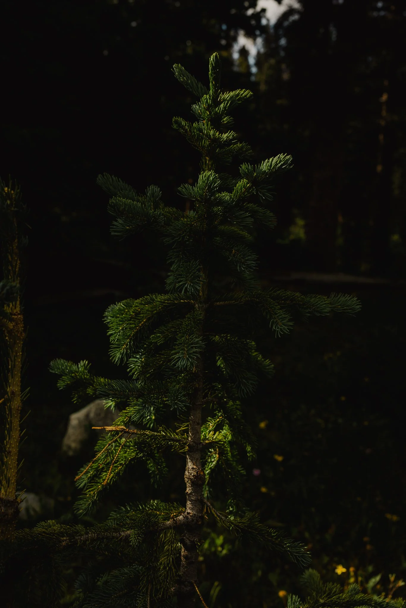
If you’re in Colorado, there’s sure to always be a good hiking trail somewhere and that includes Salida! If you like waterfalls I recommend Browns Creek Falls! This six mile out and back trail will over look the San Isabel national forest, take you through aspen tree forests and end up at a roaring waterfall!
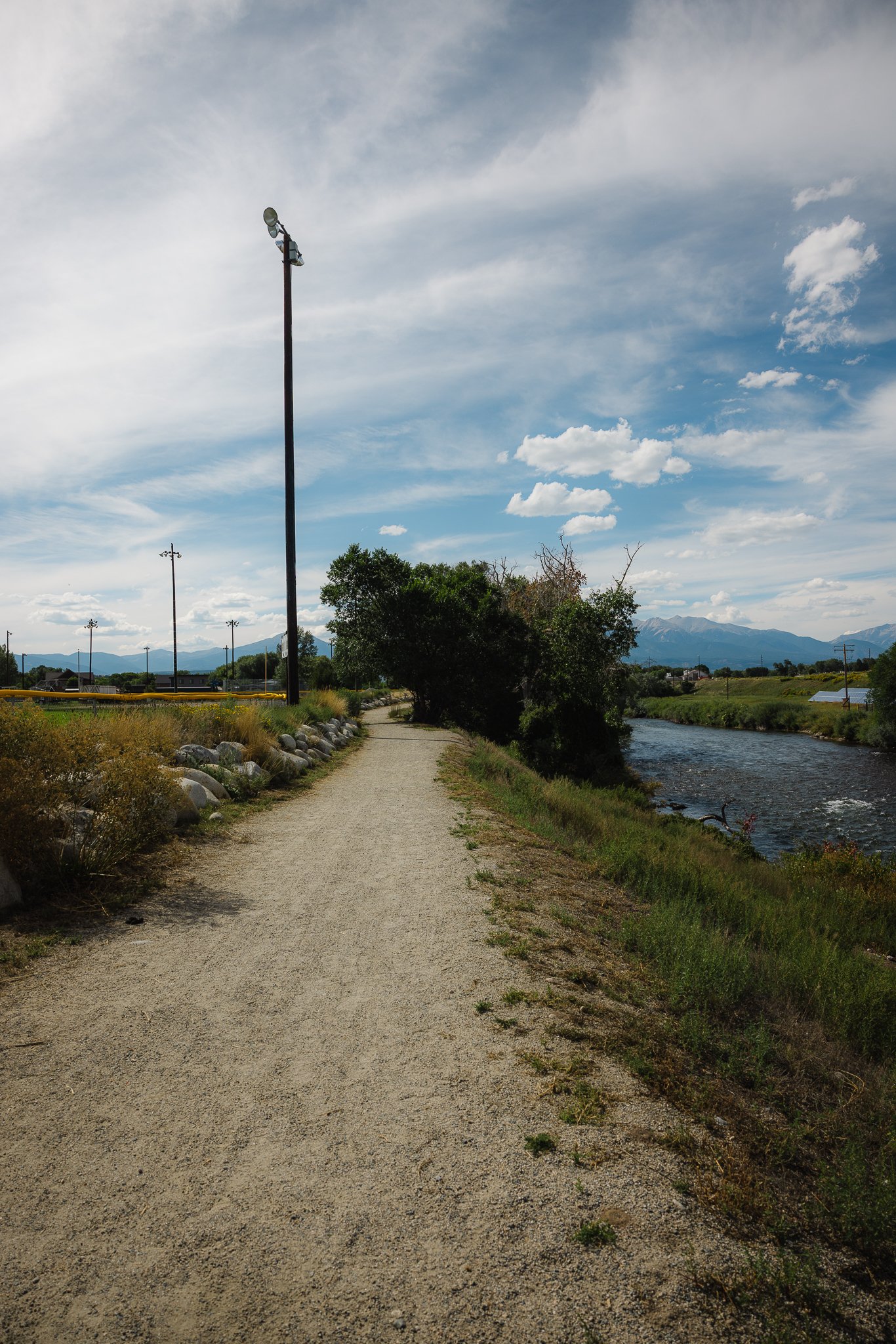
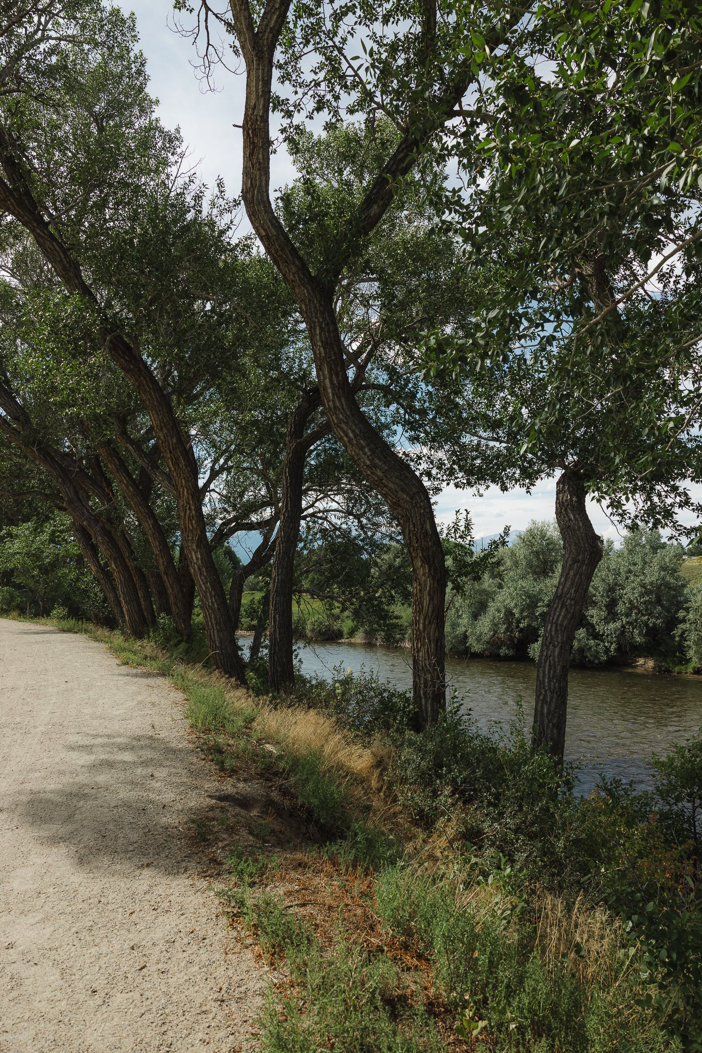
The Salida River Trail is 3.8 miles that starts on the west end of town where the baseball fields are. This trail will go along the Arkansas river and is more of a walk rather than a hike. Not a bad one to do right when you get into town or for families with small children.
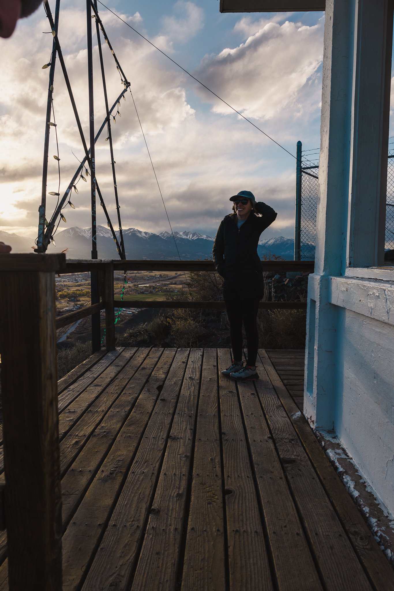
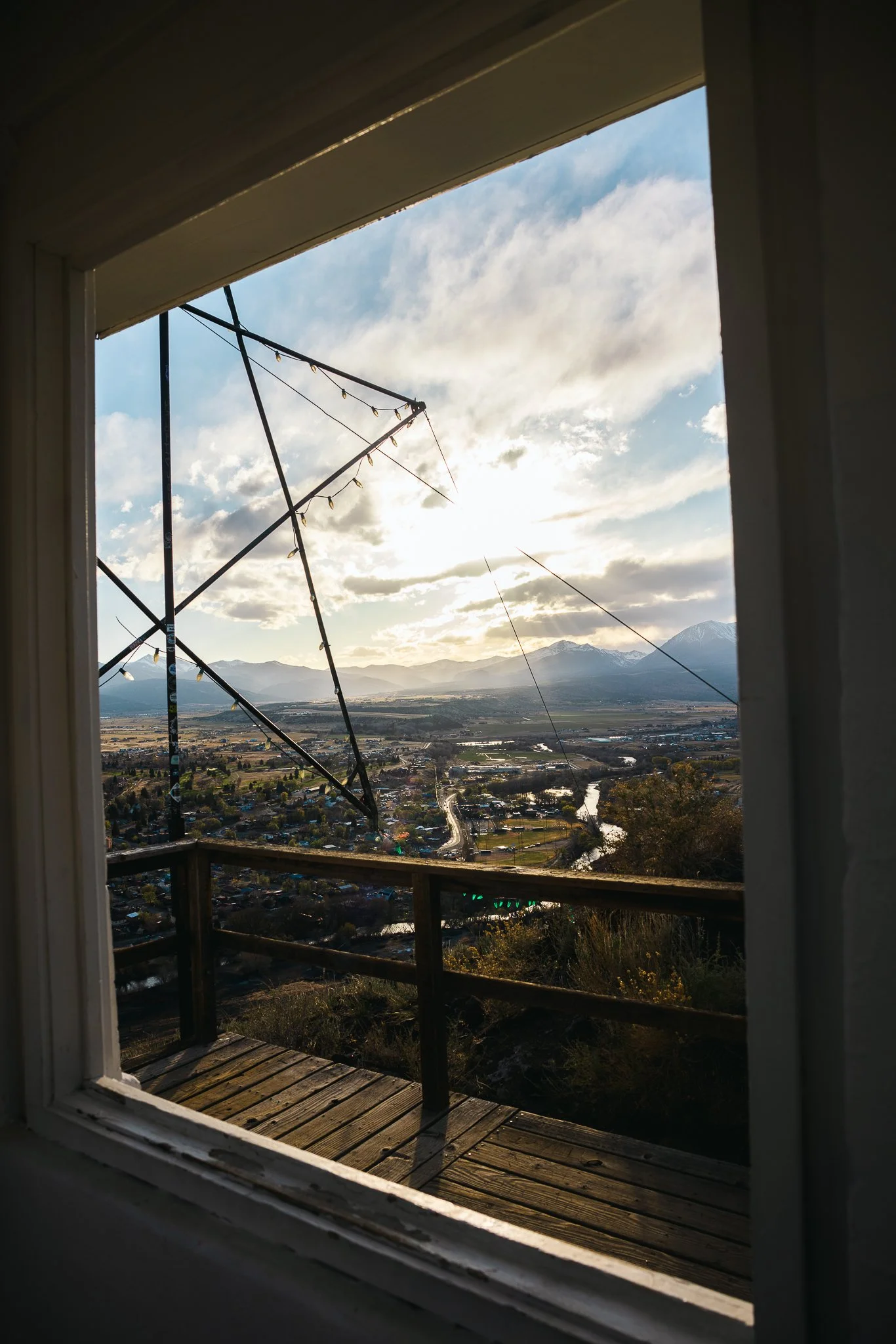
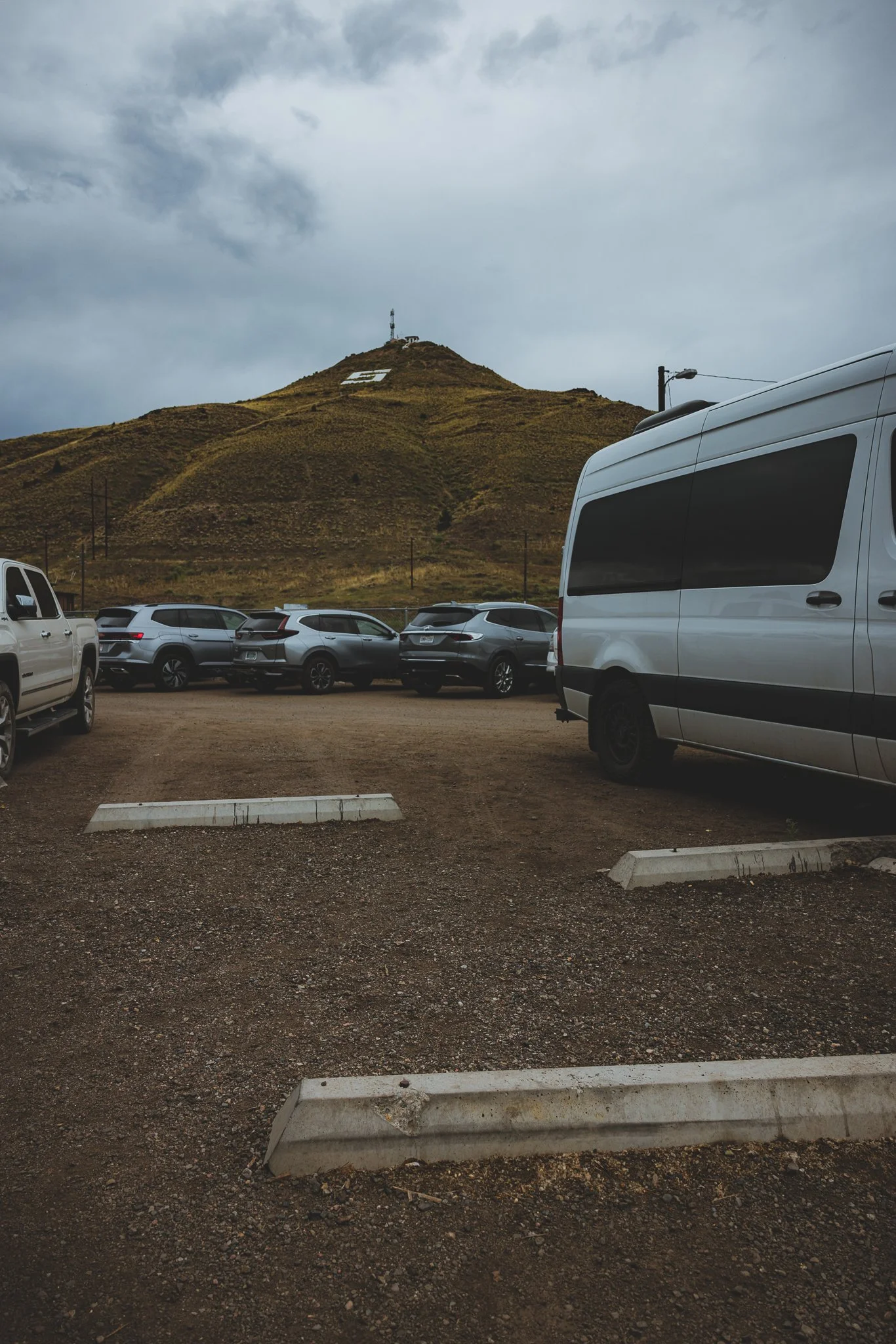
The Tenderfoot Hill Tower and Loop trail is my favorite hike in Salida! It’s going to be located right in town. Great for biking too, this 6 Mile loop is a fun one to do in the afternoon or early morning. Don’t feel like hiking the full 6 miles, just hike up to the lookout tower and catch views of the entire town and surrounding mountain ranges.
Bring a blanket, maybe some snacks, plenty of water and enjoy this activity with loved ones, family, or friends!

This hike allows you to experience the High Desert mountain climate while getting to catch a glimpse from above at the watch tower. If you plan on doing the whole hike I highly recommend downloading the trail on Alltrails as it can be somewhat confusing at times!
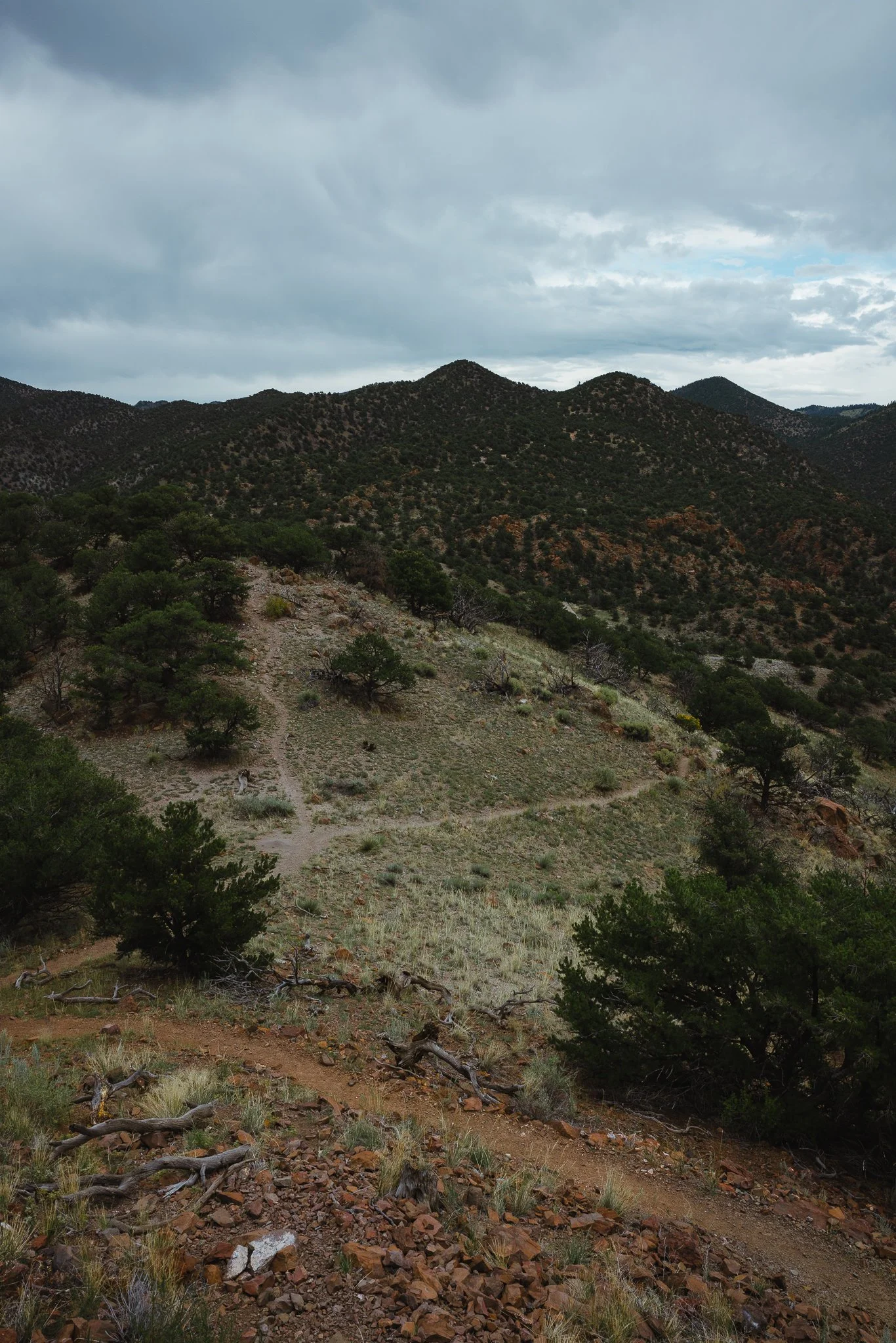
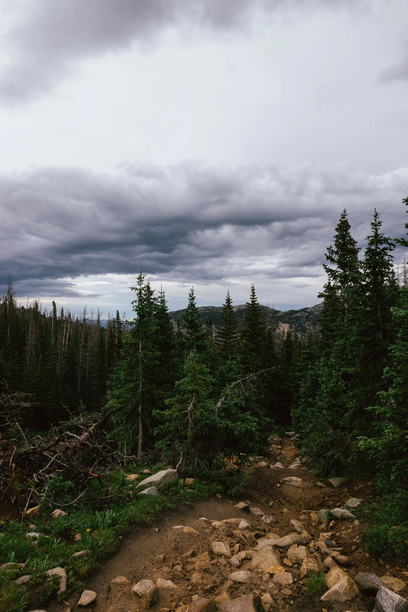
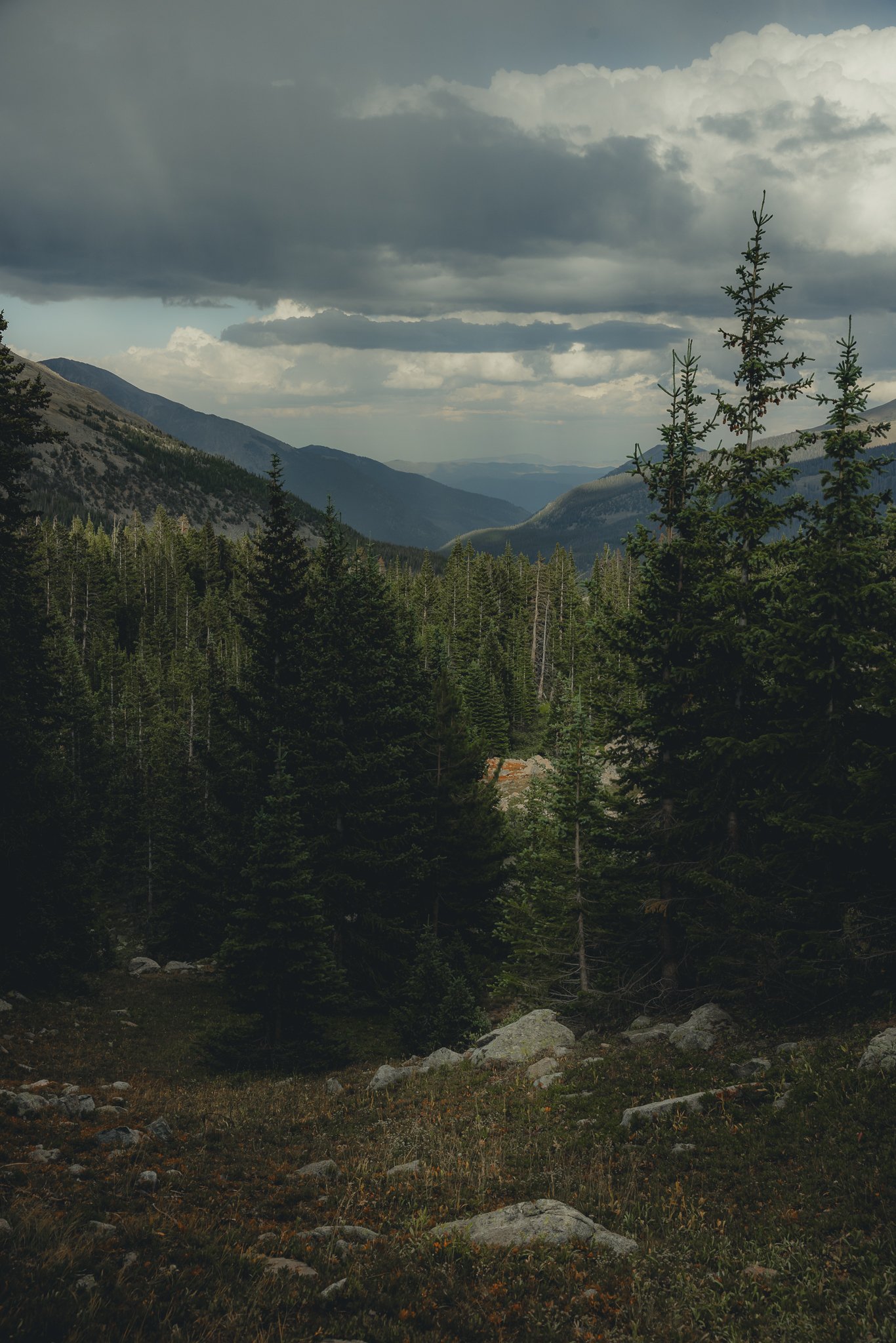
The Old Monarch Pass Loop is the fourth hike I would recommend. This one is going to be at the top of Monarch Pass. Somewhat confusing on where the trail starts, it will be across the street from the parking lot near the big yellow road sign. What I liked about this hike is it wasn’t too strenuous and you get 360 degree views of the mountains and part of the pass. This area is also a good place to mountain bike!
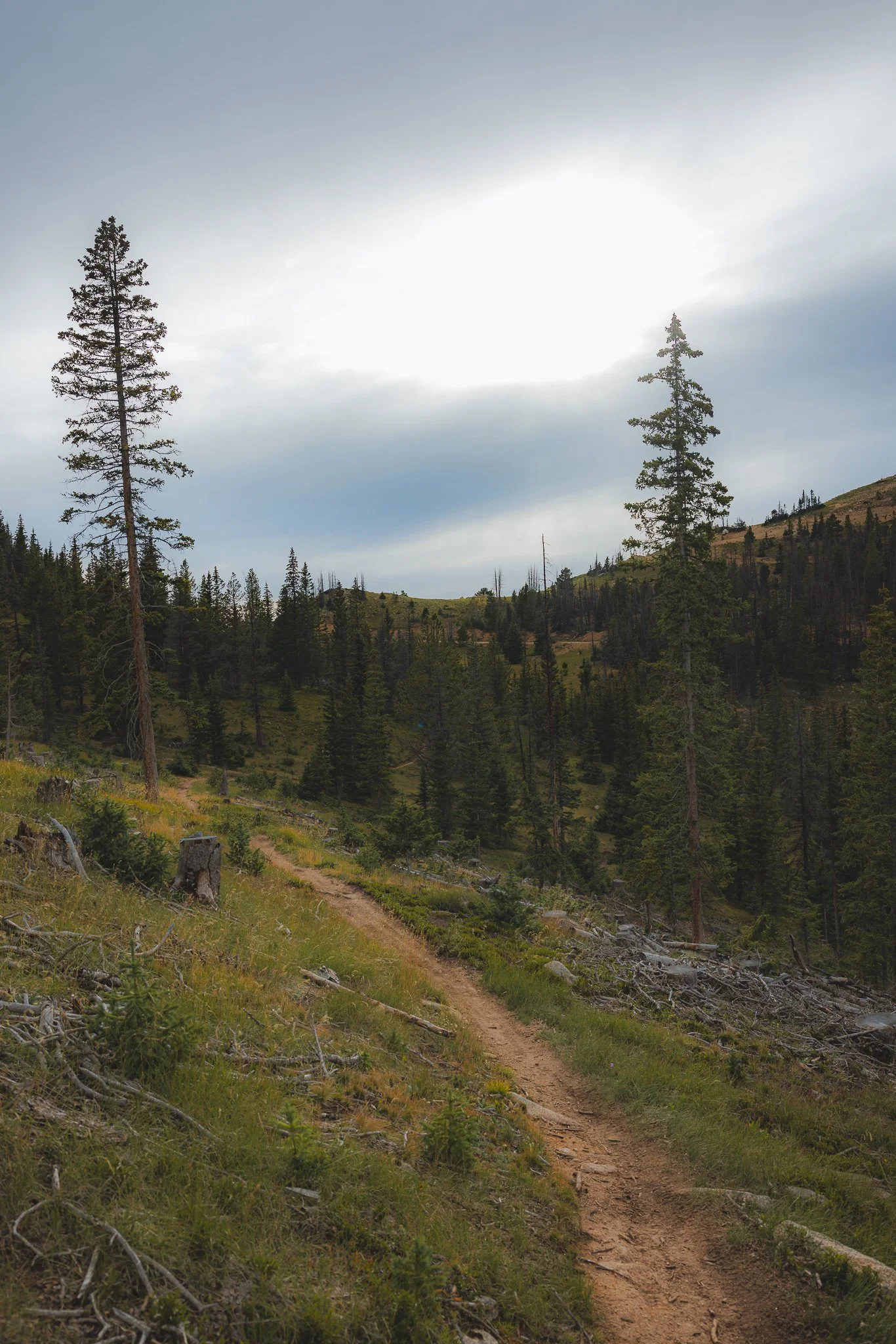

Last light on this hike as I trekked back to the parking lot was my favorite part. There’s just something special about Colorado mountains.
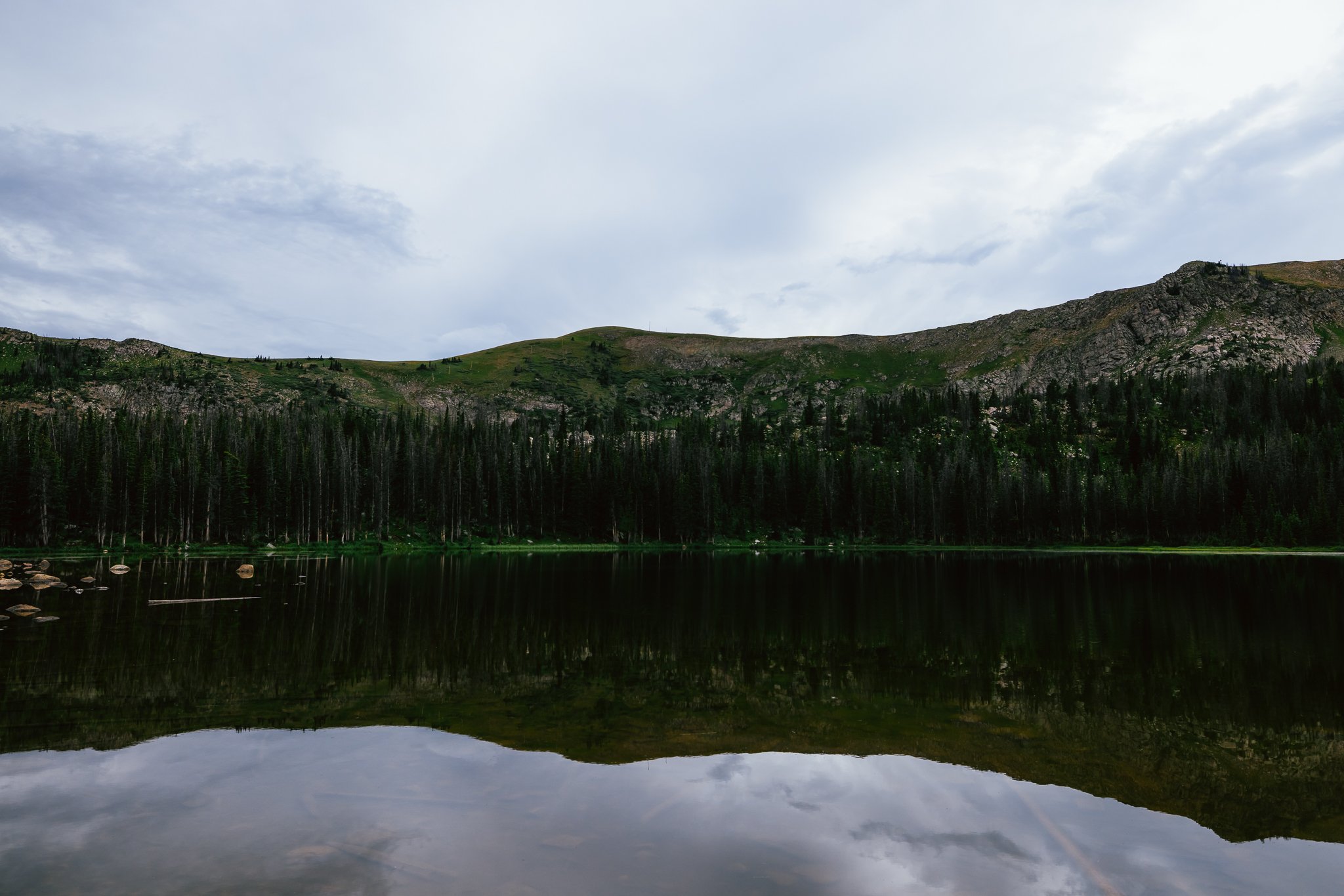
The last one I would recommend would be Waterdog Lakes. I hiked this on a rainy afternoon, so had the trail to myself. It’s going to be on your way up to the top of Monarch Pass, with a small parking lot on the left side. There’s a couple areas where you get mountain views, but for most part you’ll be hiking through the forest.

This will be another 3 mile out and back trail with a 1,066 feet of elevation gain. The lake at the top is a nice area to get some r & r, you could even bring a fishing pole up there if you wanted to. Just remember to get a Colorado fishing license.
River Surfing
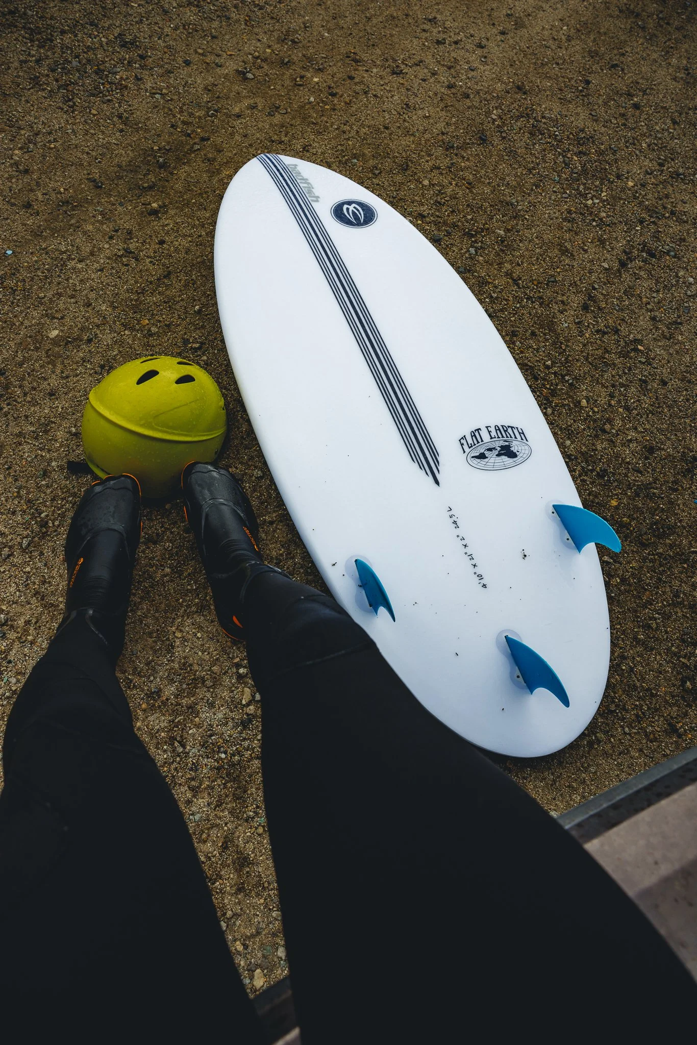
Quite possibly the most challenging, exciting, and different activity to do in Salida, river surfing has got people noticing this small mountain town. There’s even a surf shop in the downtown area! Started by Mike Harvey and Zach Hughes, Badfish offers demos (try before you buy) along with a number of retail items such as clothing, sunscreen, bags, wetsuits, surf booties, and helmets. If you’ve never done any kind of board sport before I would recommend using a board with a lot more volume along with durability as it will be easier to balance. I would also recommend going in July-early September as the river won’t be as strong.
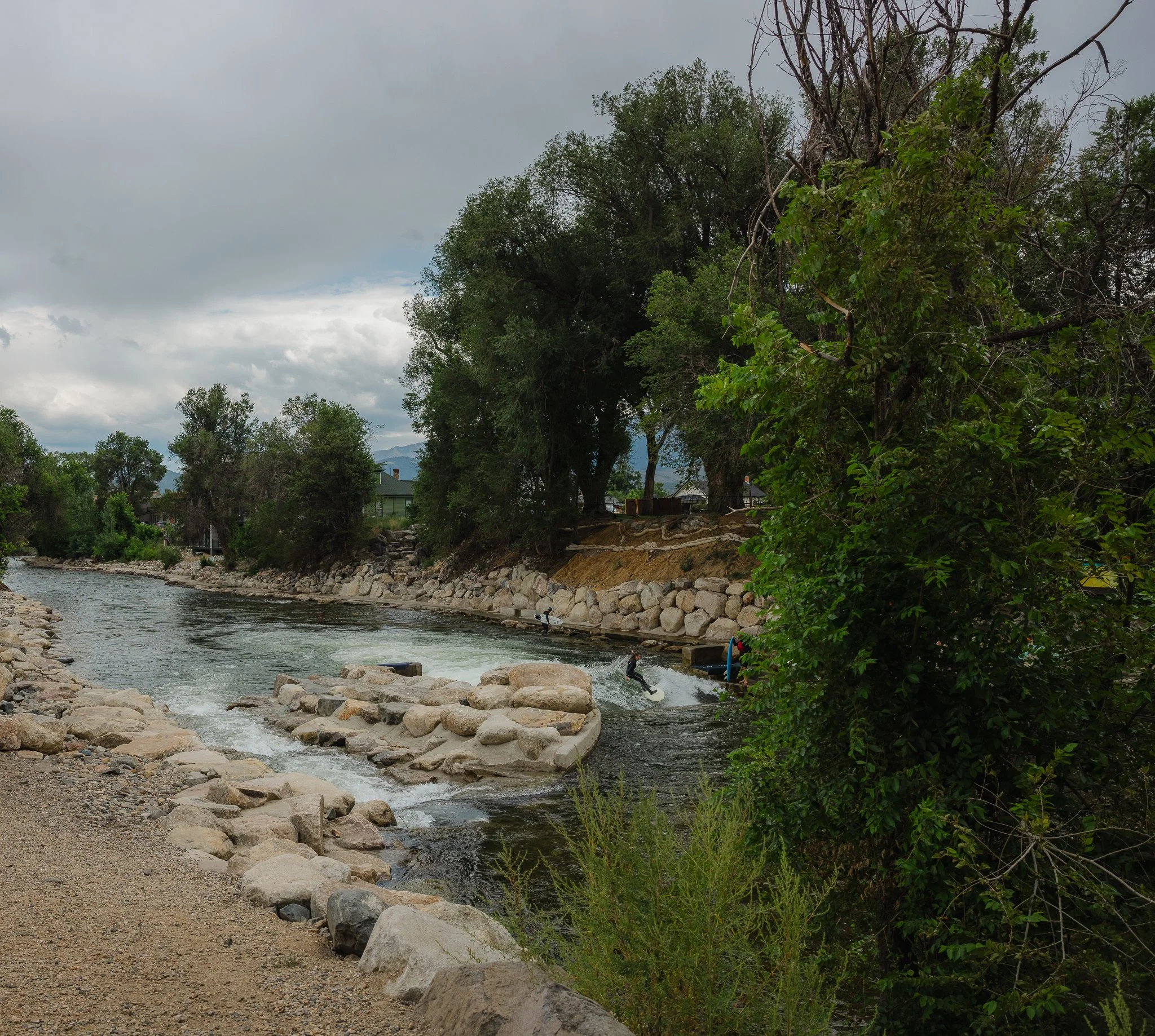

The wave that you surf is called the Scout Wave and it is addicting once you get the hang of it. I’m skateboarder, ocean surfer, and snowboarder and it was still challenging for me! But the one awesome thing is the community and how people from all ages can do it. I’ve even seen people in their 70’s ripping on the wave!
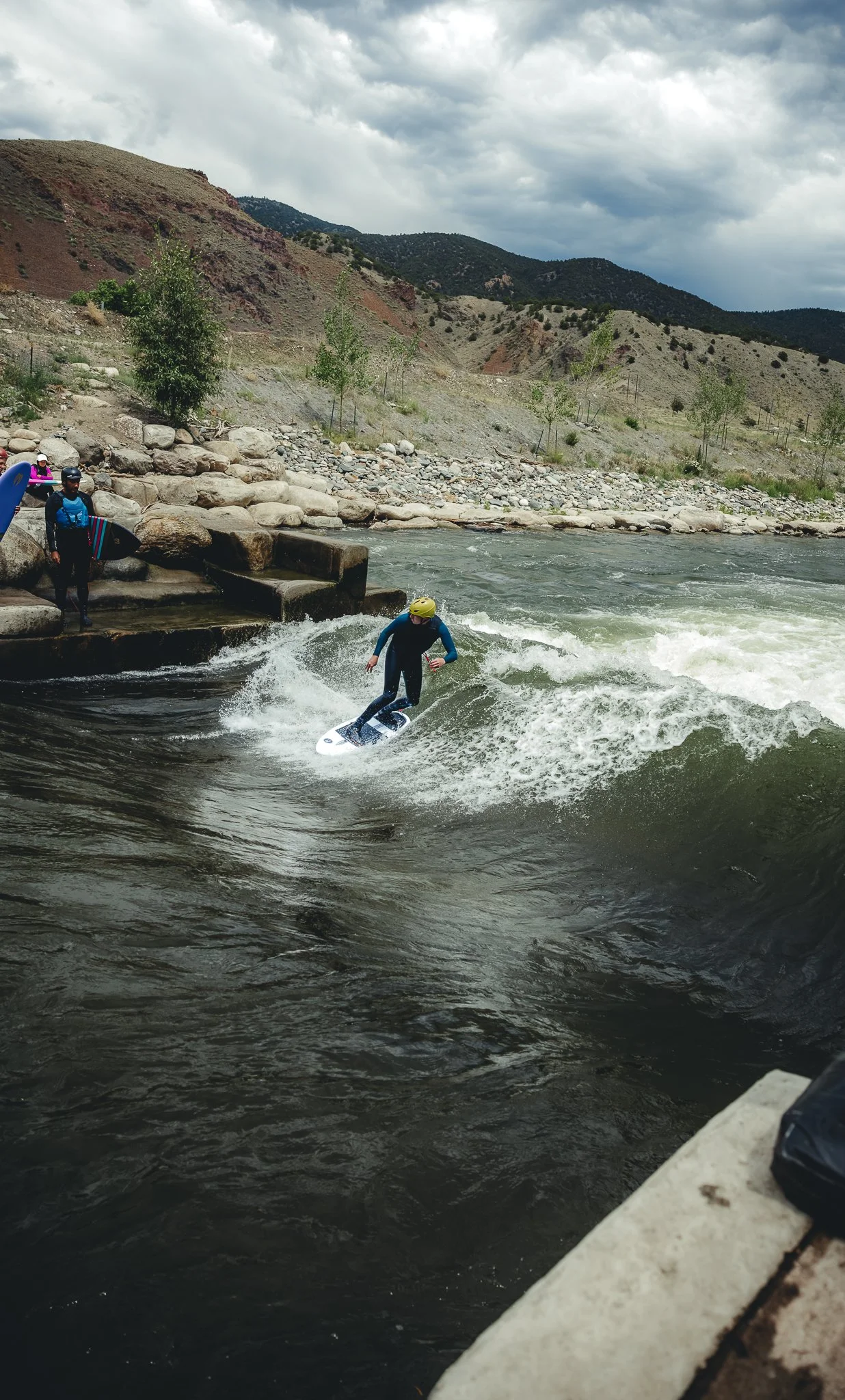
The wave is a short walk from downtown and if there isn’t any parking in the back lot, there’s a number of side streets that you can park your car at. There’s places right by the wave where you can leave your things if needed, but do so at your own risk and always keep an eye on your stuff. Sometimes in June if there’s been a big snow year, the wave can get flushed out due to high water and is too dangerous, but you can always check the surf cam on Colorful Colorado’s website!
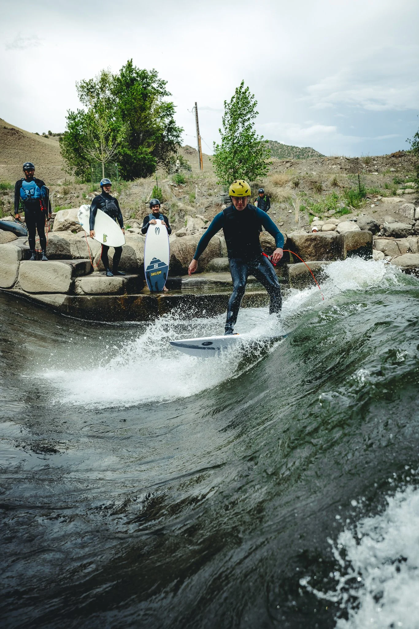
What gear does someone need for River Surfing
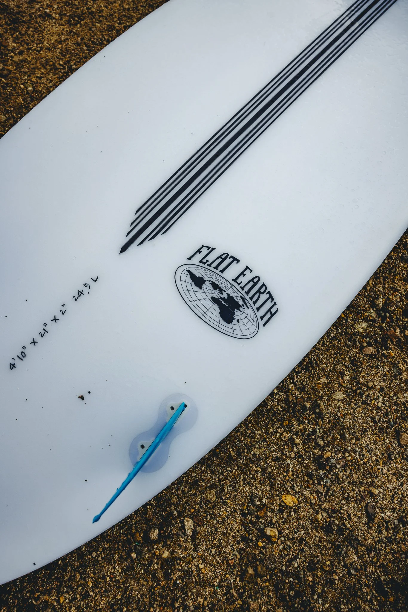
Because the Arkansas River is cold for the majority of the summer I would recommend a 3/2 wetsuit, surf booties (to keep your feet warm and protect them from rocks), a helmet, and of course a board. One thing to note is river surfboards are substantially shorter than ocean surfboards due to the size of the wave. The size range for boards is typically from 4 8’-5 4’ and even larger for people starting out. For reference I’m 6 4’ and surfed a 4 10’. Just keep in mind that it’s going to be based on weight not height!
If you don’t want to spend the money on an expensive board, look online and there should be soft top options that will be more affordable. Badfish also sells used boards, so that’s a great option too.
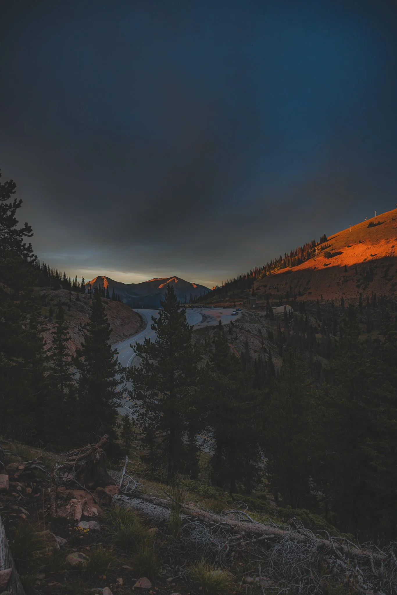
Monarch Mountain Scenic Gondola
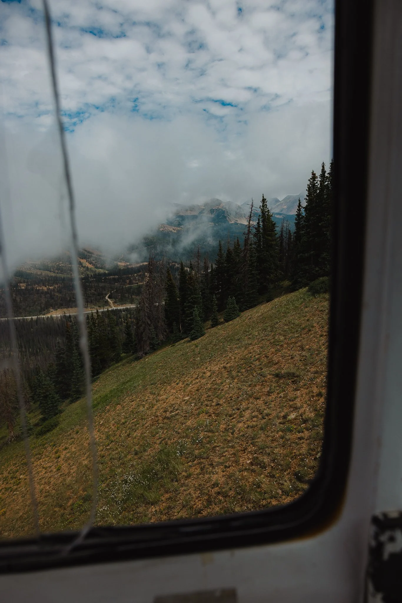
If you’re not into hiking, but are interested in still going to the top of Monarch Pass, taking the tram to the top is a fun one. Open daily, the ride is about ten minutes and allows you to see the surrounding mountain views. Unfortunately when I went it was foggy, so I didn’t get too many views. At the top there will be an overlook along with a service road that you can hike along.
Open daily, tickets can be purchased inside the main office which will also have a gift shop and snack area.
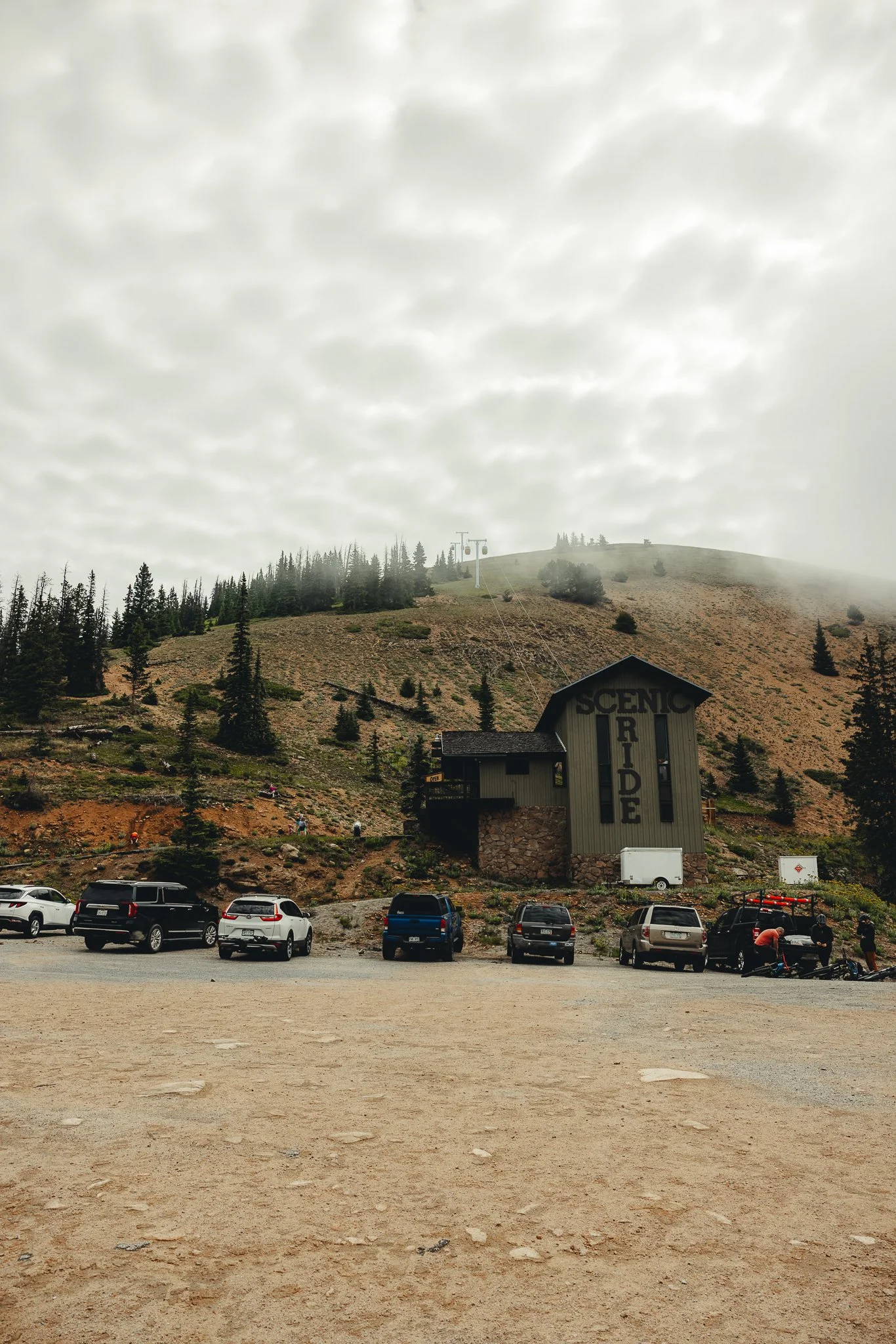
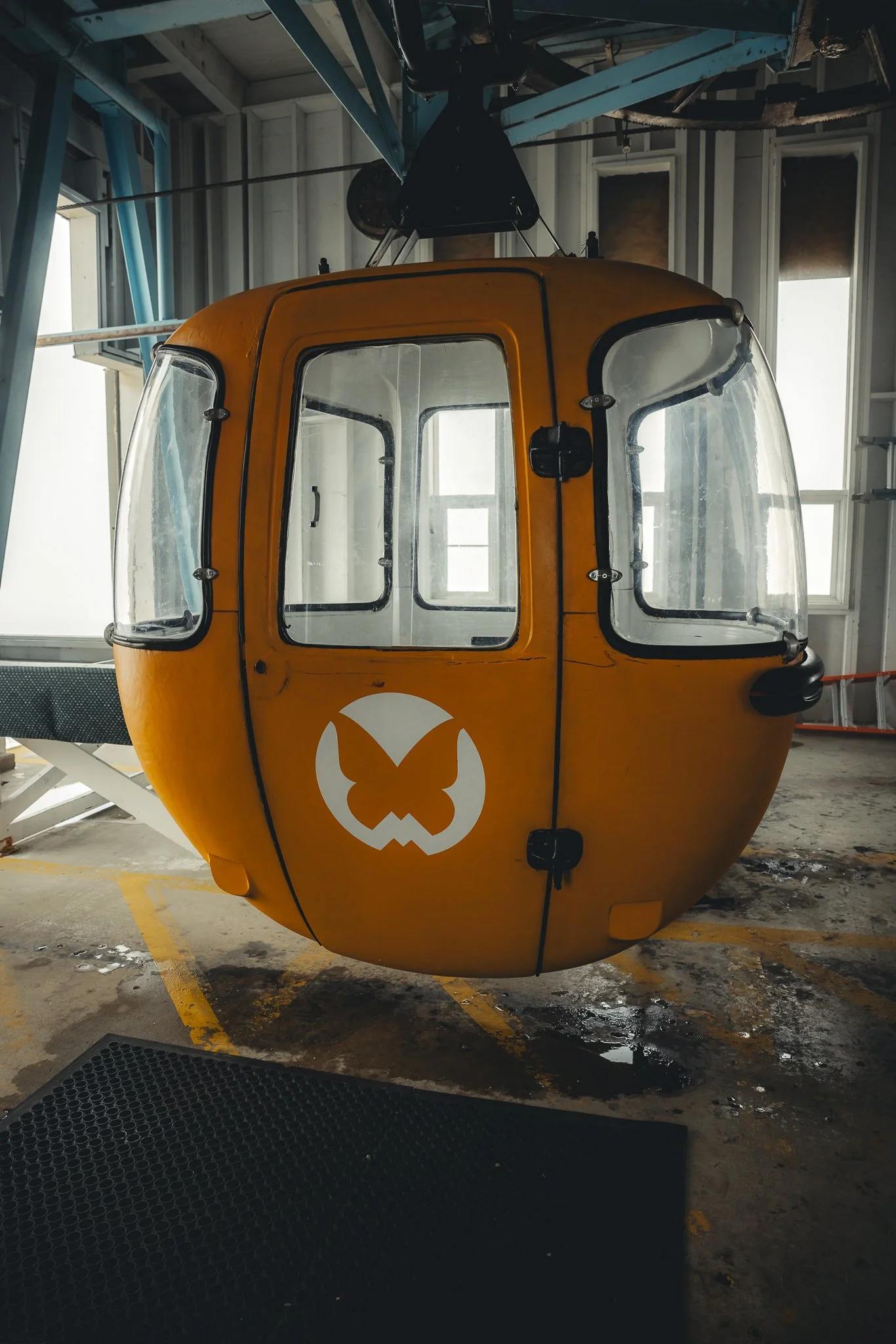
Due to the elevation change from Salida, make sure to be prepared and to pack some warmer clothing. What I liked about this scenic ride was the old school authentic feel that Monarch Mountain offers. Definitely not something you see at many resorts these days!
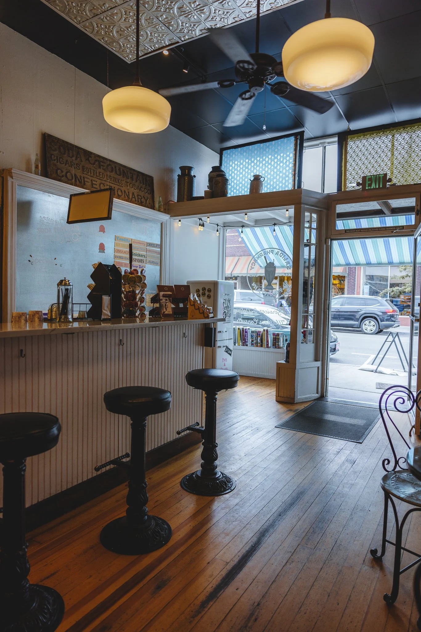
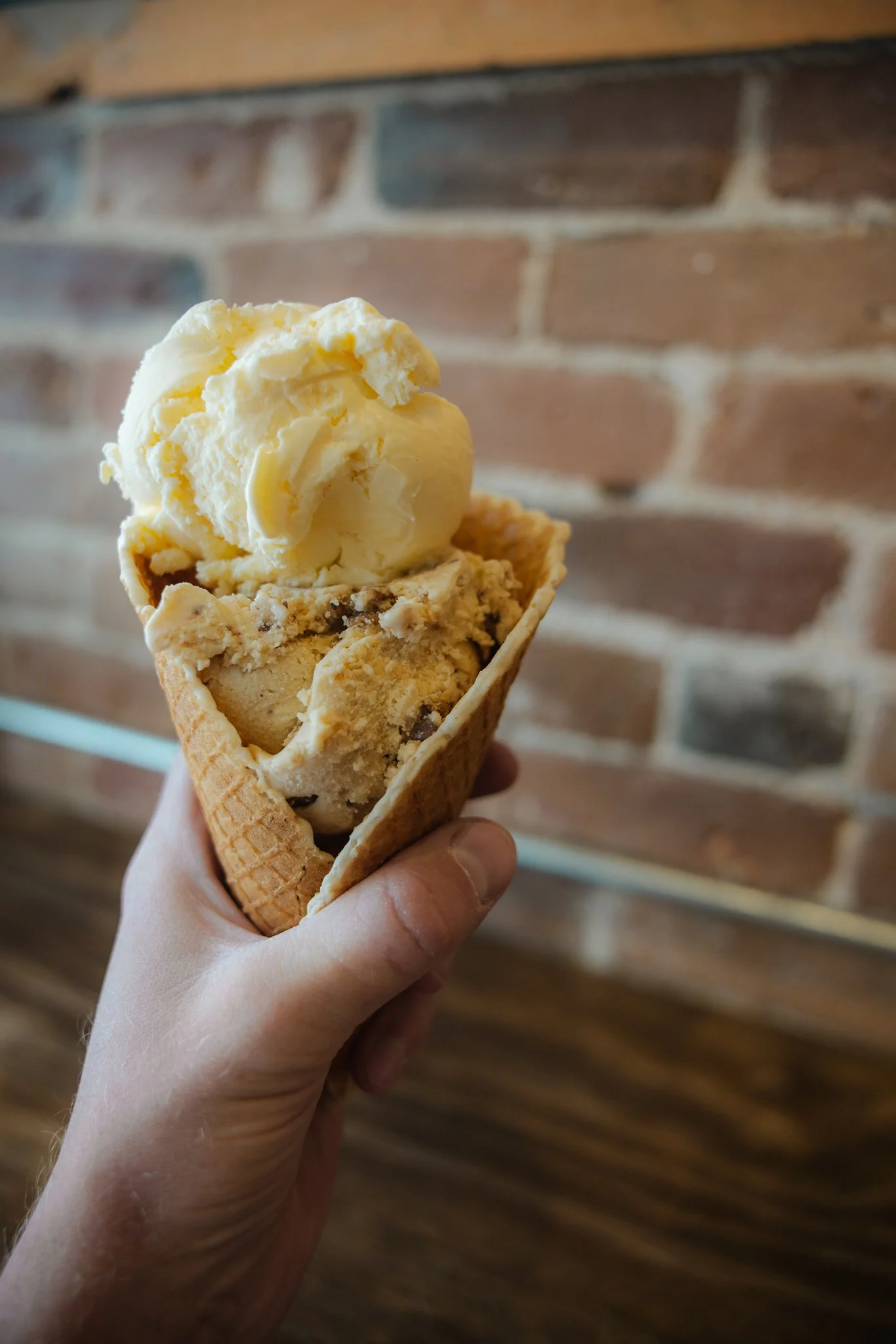
Stop for Ice Cream at the Salida Pharmacy and Fountain
Some of the best Ice Cream I’ve had, it’s hard to believe this location has only been around since 2019 as it looks like something out of the 1950’s. I liked stopping here after dinner or in the afternoon when walking around town. A nice summer treat to cool off with.
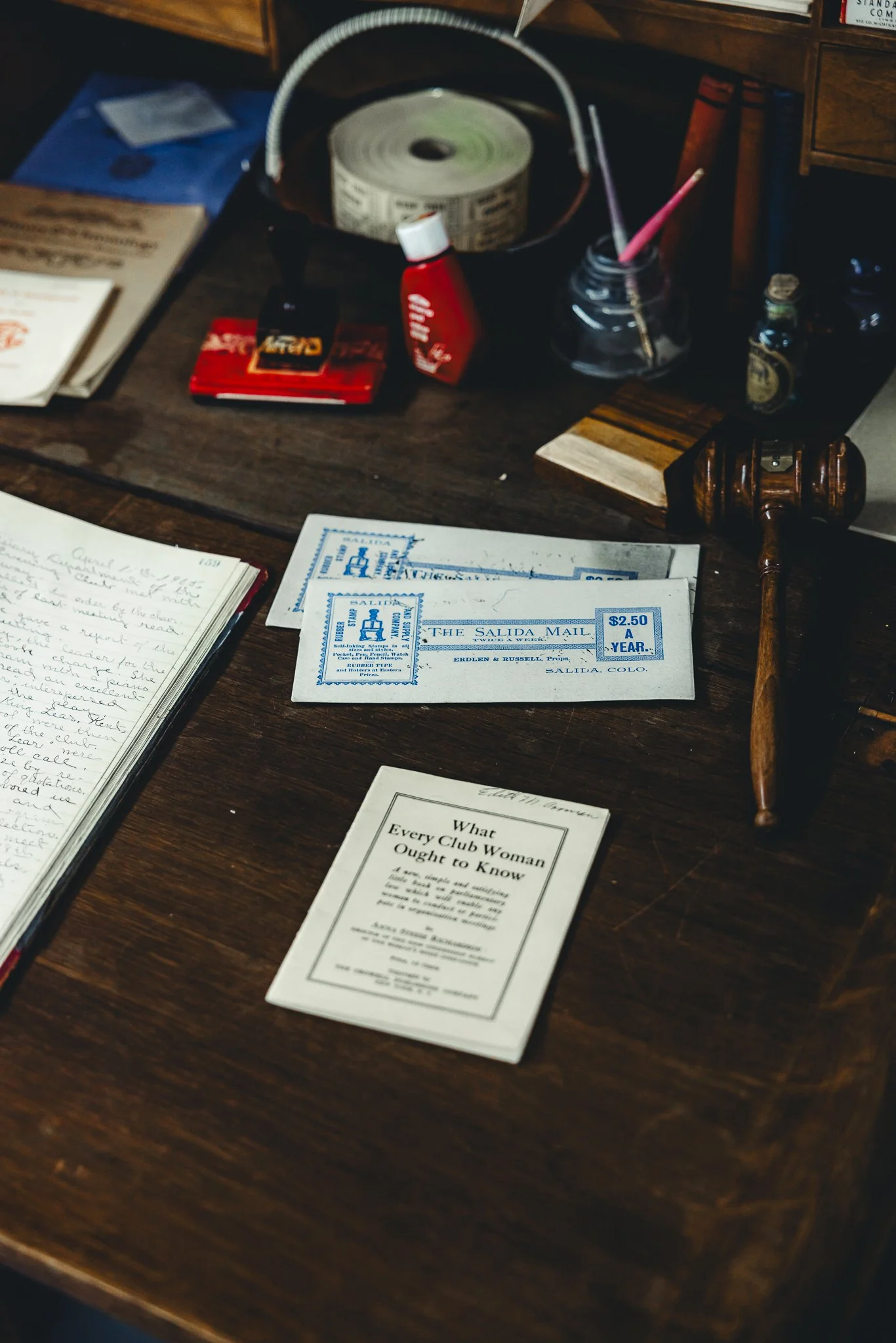
The historic Salida Museum
Sometimes you get these rain storms in Chaffee county where it just pours, if that’s the case and you like history, check out the historic Salida museum. They will have all kinds of cool historical facts and items about Salida and the surrounding area!

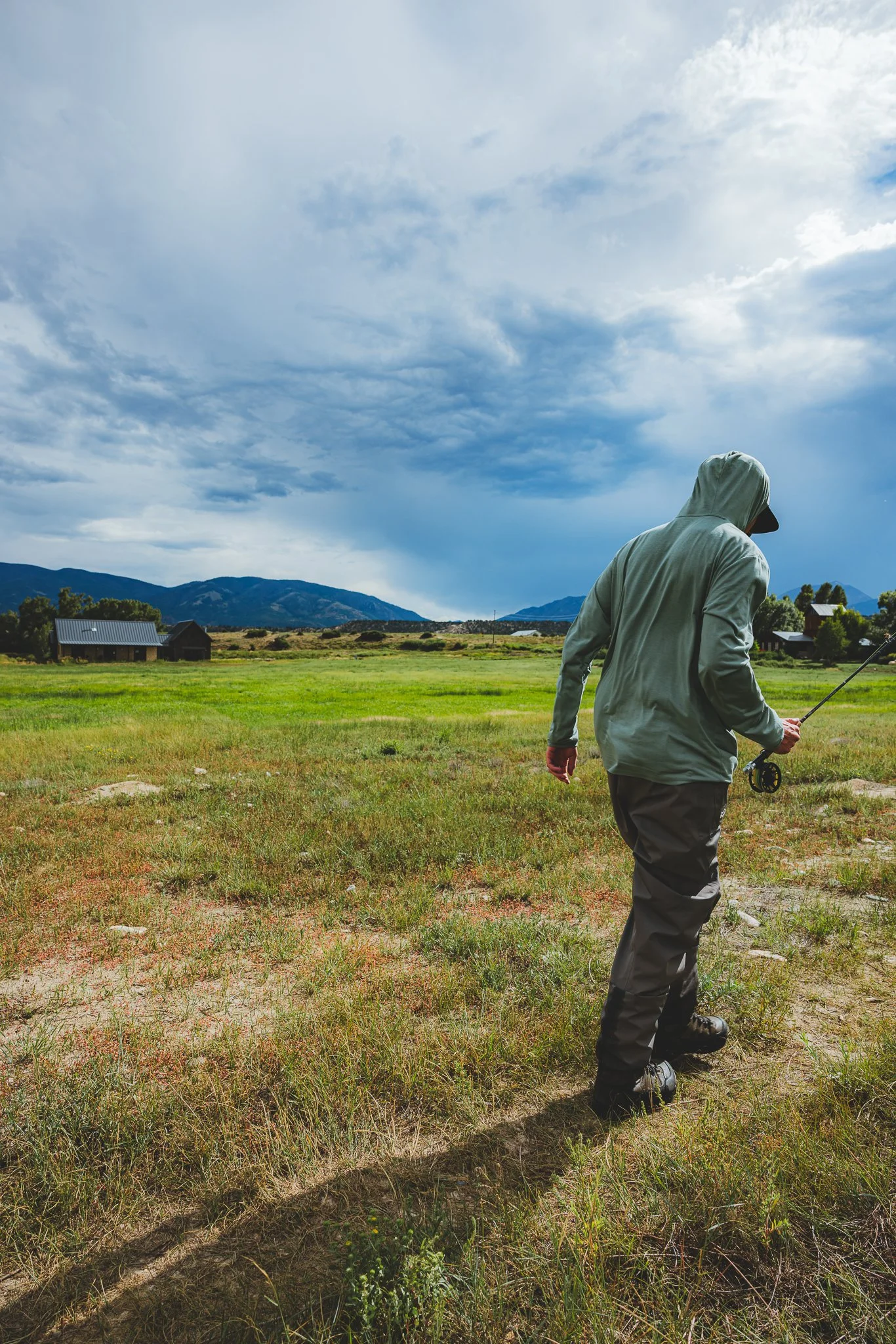
Fly Fishing
If you like being on the river with mountain views that provide peace and quiet, then give fly fishing a try. The price to fly fish with a guide can get expensive, however they’ll help you catch fish and get you set up, so that hopefully in the future you can get out there on your own! An Angler shop will be able to set you for a day on the river along with providing guided trip options so that you can end up catching fish. The Next Eddy was my favorite fly shop in Salida. Since I’ve fly fished before, I ended up renting the equipment and they provided me with coordinates on where to go.
You can do a float trip where a boat floats down river and you cast your line in different areas. Or they offer walk & wade trips where you walk along the river, casting your line. Full and half day options are available!
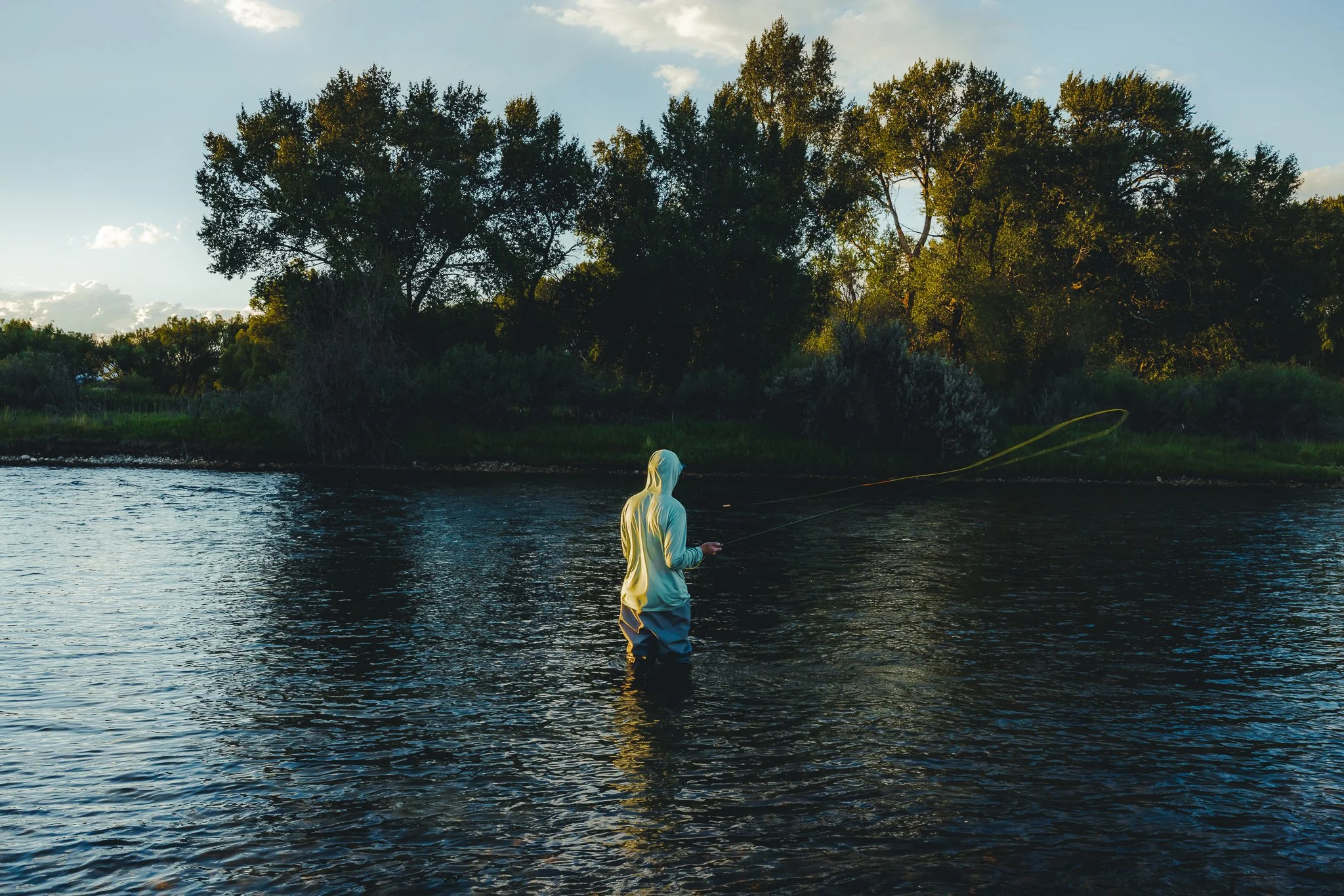
Fly guides will teach you what fly’s work best, casting techniques, how to handle the fish once you’ve caught one, and best locations on the river to cast and successfully catch fish.
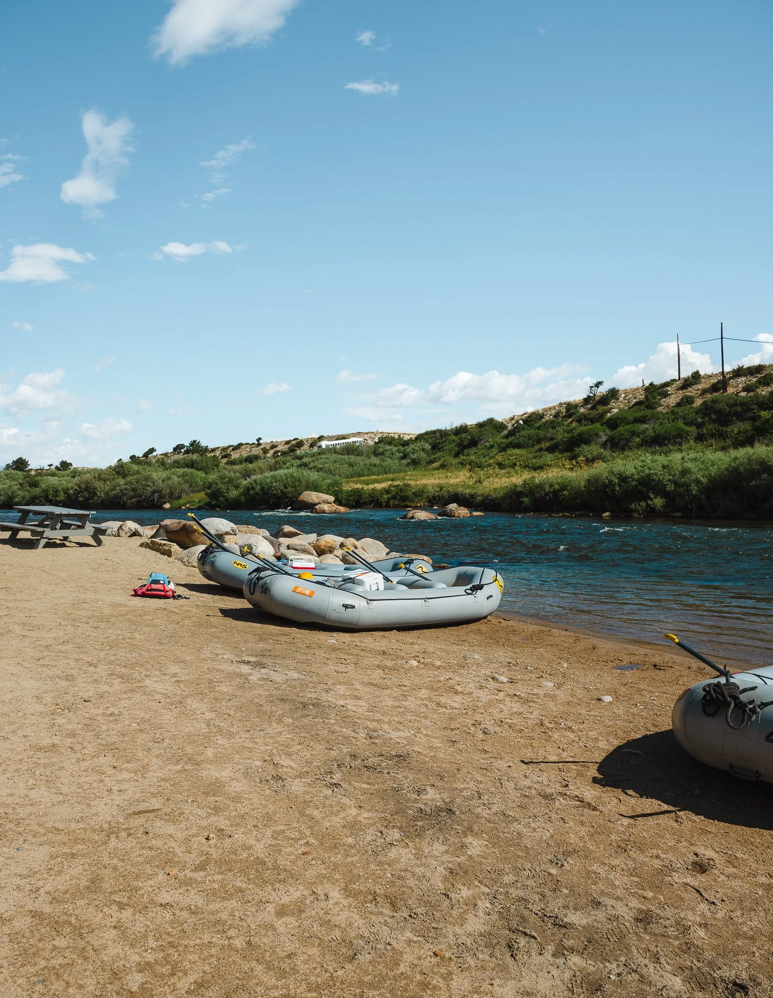
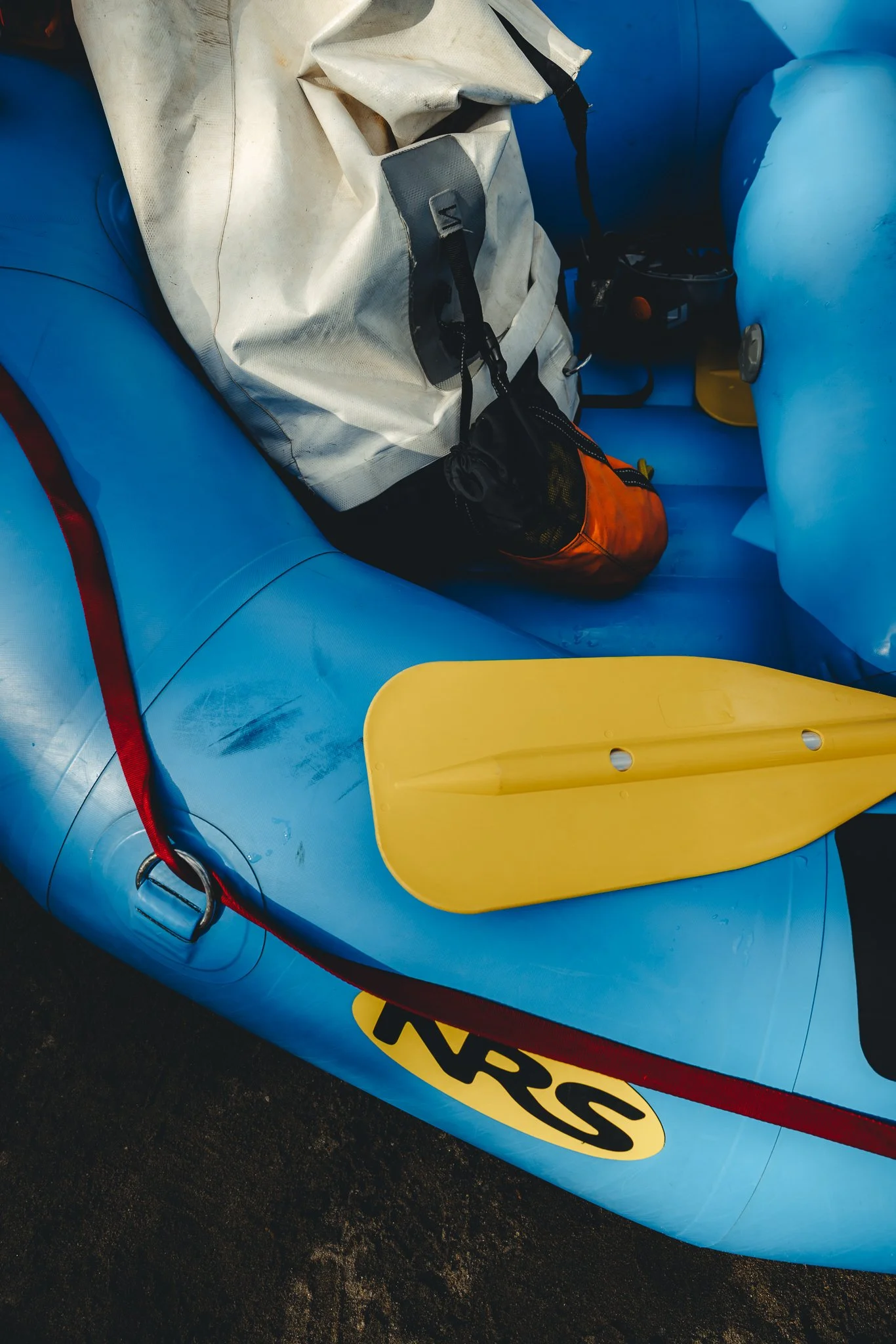
White Water Rafting
One of the more popular things to do in Chaffee County, white water rafting is somewhat of an exhilarating way to spend time on the Arkansas River. There’s a handful of companies that offer rafting trips, but I went with River Runners. You can do a half or full day trip. Located just outside of Nathrop, in between Buena Vista and Salida, there will be different river options depending on how “extreme” you want to get. Royal Gorge and Numbers will be class four and five rapids while Browns Canyon will be class 2-3.
For a calmer experience, book in July and August as the river starts to chill out a little. For more of an adventure, book in June as the runoff from the snow creates a fast moving river!
If a full day is booked, lunch will be served halfway through your trip! Life Jackets, helmets, and a wetsuit top will typically be provided. For footwear, I recommend some kind of Teva Sandal or outdoor sandal meant for the river.
Biking
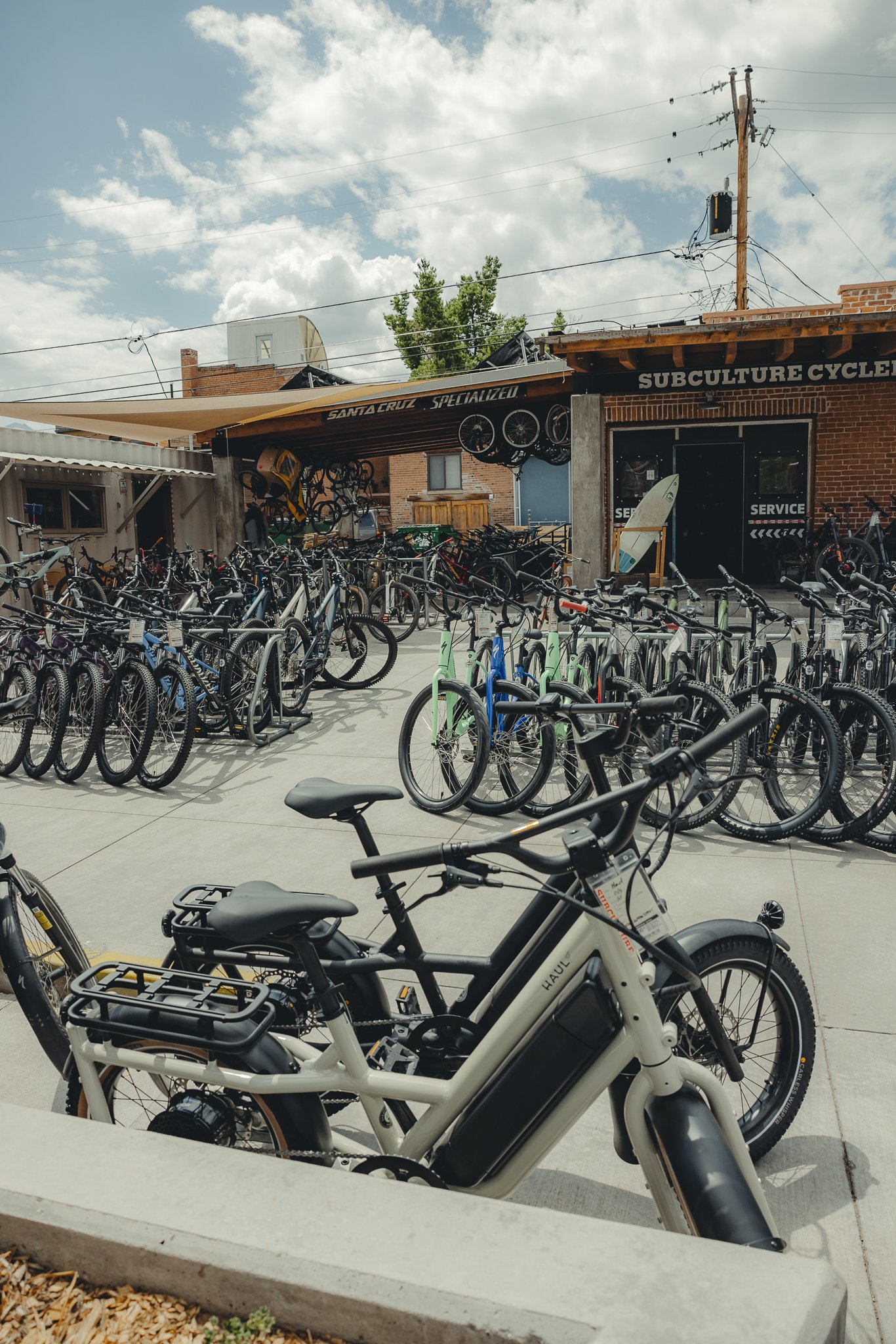
As mentioned earlier there’s a number of bike trails right in town on S Mountain. If mountain biking isn’t your thing, rent an e-bike or cruiser bike for the 4.5 mile Salida bike path or side streets. The bike path is a loop through town and access point will be at the corner of Sackett and G street. If you don’t have a bike, Subculture has a number of awesome options for bike rentals!
What should we pack
Some key items that I recommend packing will be
Sunglasses- Sun gets intense in higher elevations, so don’t forget these! There’s plenty of more affordable options like Goodr and Blenders, but I personally like Oakley!
Sunscreen- Protect your skin with Sunbum. Based out of San Diego California, I’ve used their sunscreen for a lot of my adventures because it isn’t greasy and protects my skin!
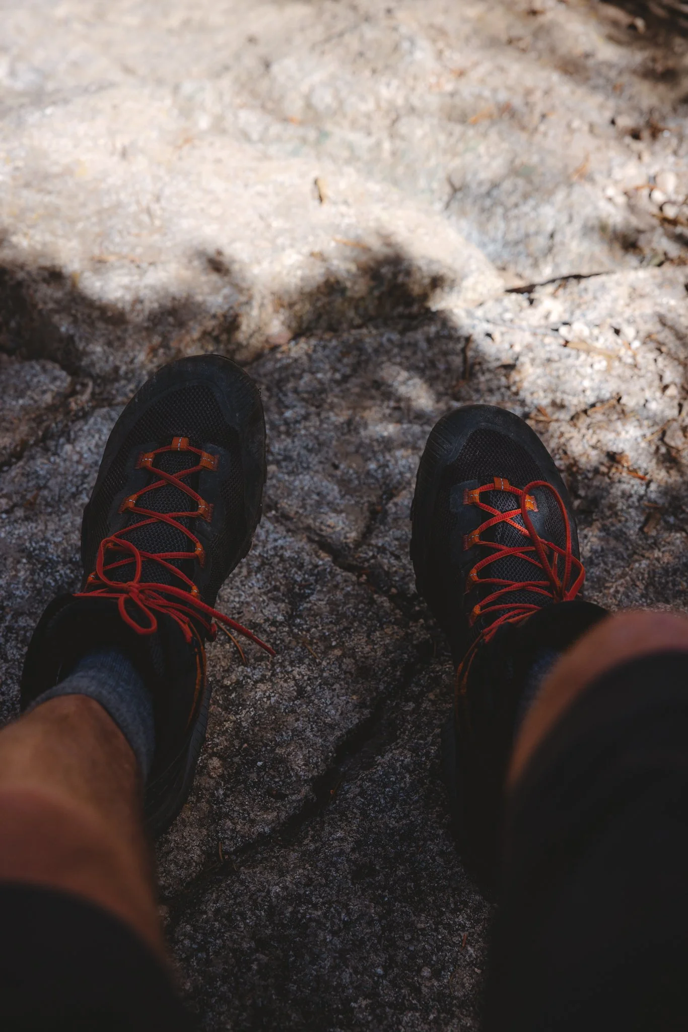
Hiking Boots- For hiking footwear, I would honestly recommend going into your local outdoor gear shop to try on different pairs and see what fits best. Keep in mind with hiking boots, you want them to be snug but also have some room at the end as you feet do swell slightly as you hike. If you don’t have a store nearby, my favorite hiking boot brand is LaSportiva!
Outdoor Clothing- Try to stay away from anything cotton. There’s sooo many outdoor brands. I think it really comes down to what brands aligns with you and overall fit and durability. Some of my favorite outdoor clothing brands are Fjallraven, Patagonia, Arcteryx, and Norrona.
Rain Jacket- It does rain in the mountains a lot depending on the summer. Either way, it’s good to always be prepared! Make sure to pack one of these for every outdoor adventure.
That’s it for a trip to Salida, if you have any questions or comments, leave them below. It’s always cool to connect with other people looking for an adventure. See you on the next post!

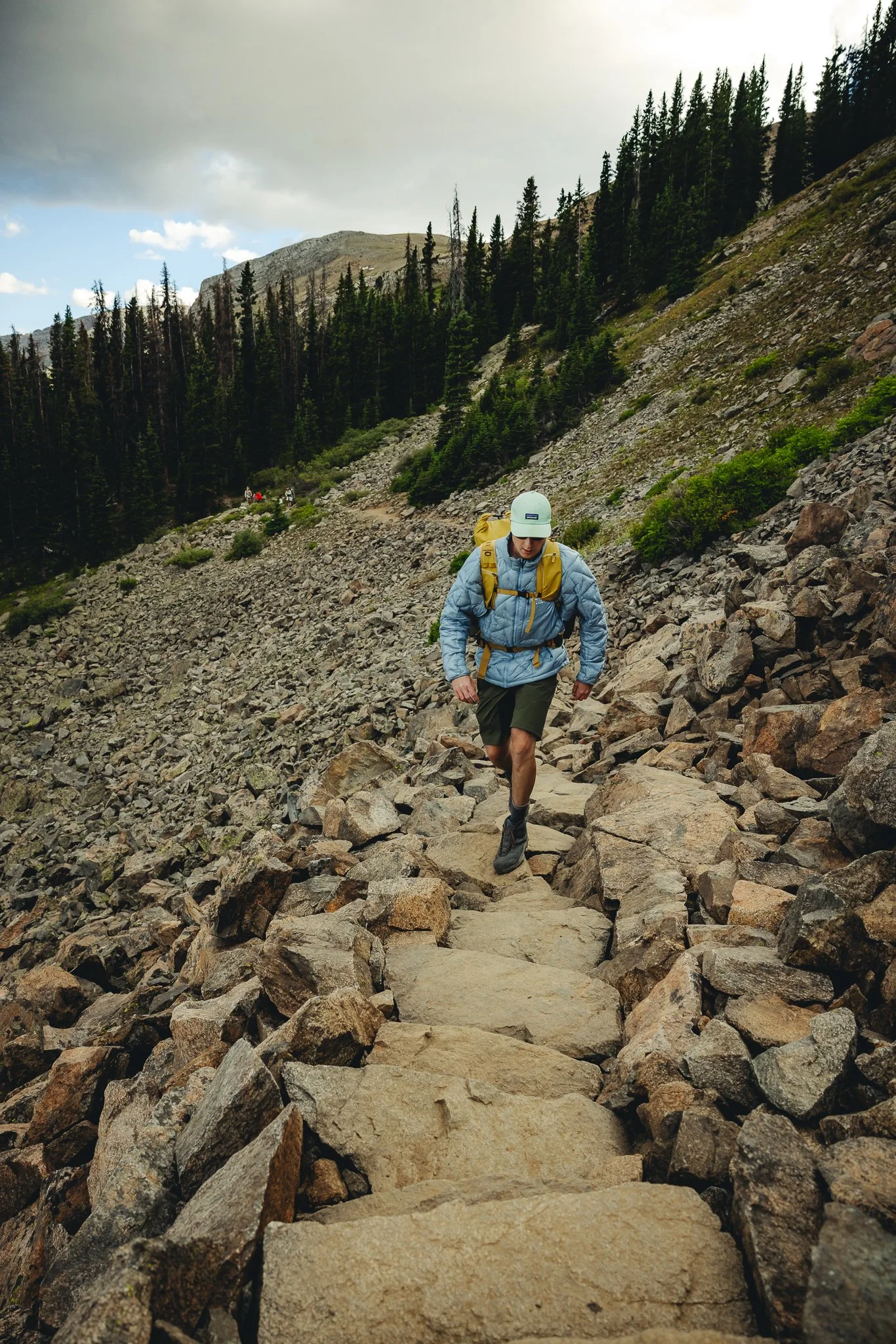
Best Colorado Hikes, Making your way to Lost Lake near Buena Vista
Chaffee county Colorado, one of the most unique areas of the state with mountains, alpine desert terrain, river activities, and of course plenty of hiking trails. Small towns Salida and Buena Vista in the area both offer tons of outdoor recreation. A favorite hike just outside of..
Disclosure: When you buy something through the Affiliate product links I have created below, I earn a small commission. I only promote products and companies I support as well as believe in.
Looking for easy trail navigation? Check out Alltrails; an app with trail reviews, navigation, and trail stats. Predownload trails in case of no service.
Chaffee county Colorado, one of the most unique areas of the state with mountains, alpine desert, river activities, and of course plenty of hiking trails. Small towns Salida and Buena Vista in the county both offer tons of outdoor recreation. A favorite hike for many just outside of Buena Vista, is the Lost Lake trail. Recently rerouted and turned into an actual trail with a parking lot (I guess before it wasn’t an official trail), Lost Lake offers scenic mountain vistas, alpine forest scenery, and of course at the top a beautiful high alpine lake. If you’re able to get up early enough to hike this trail at sunrise, it’s even more magical. In this post I’ll be going over how to get to the trail, best times to hike it, trail info, and what makes this trail unique. Alright letsss dooo thisss.

How to get there and where to Park
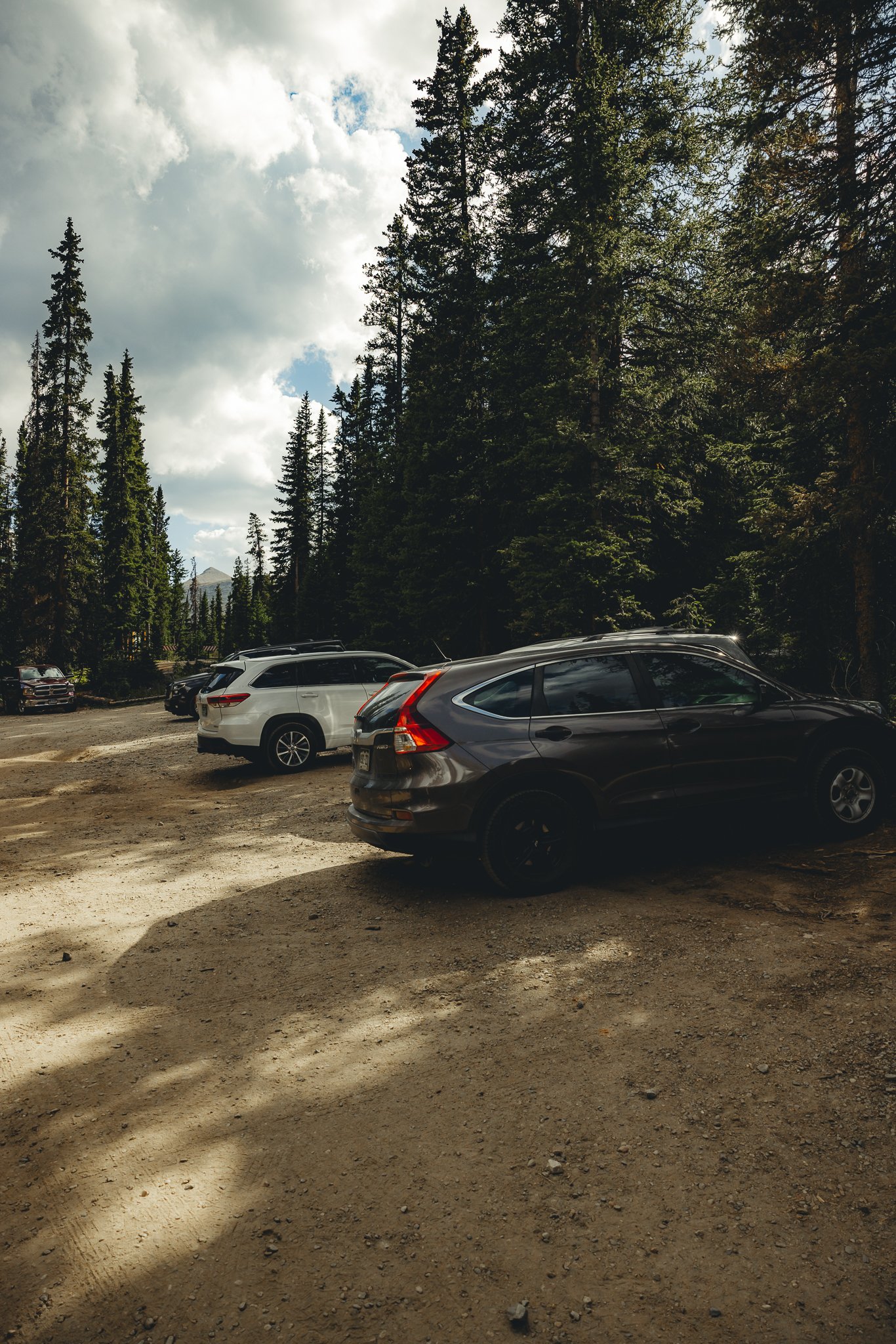
You’ll want to head west on Cottonwood Pass, just outside of Buena Vista which will be through a series of switchbacks until you see the trailhead on the left. It’s about a 20 minute drive from Downtown. Parking will be a dirt lot right at the trailhead and can fill up during the summer and on weekends when the weather is warmer.

Is this a difficult trail
I would rate this trail as a beginner to intermediate as there isn’t too much elevation gain, yet you will have to hike over a rocky part of the trail as you reach the top of the lake. Below I listed the trail stats.
Elevation Gain: 423 feet
Distance: 3.3 miles out and back
Time: Depending on speed I would say 1.5-2 hours
Dogs allowed?: Yes, but on leash.


What is the trail like and what should we expect
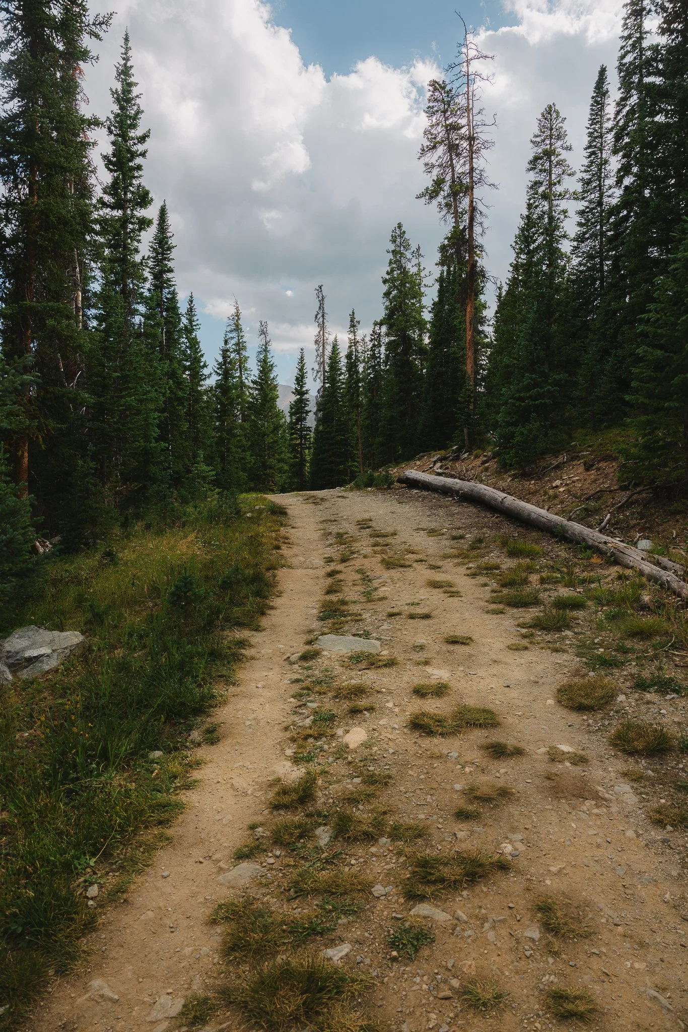
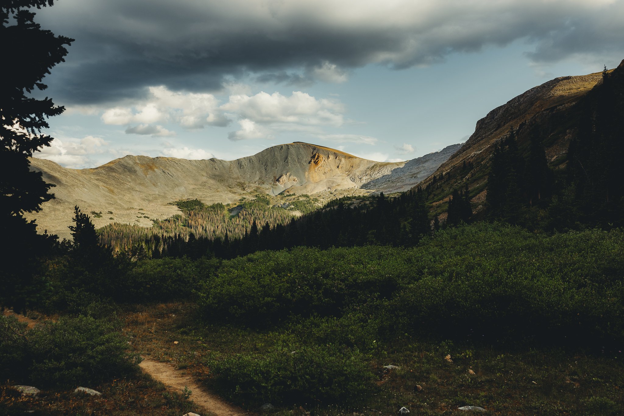
The trail starts off on what appears to be an old road that will be about a mile long before you see a sign on the right that says Lost lake 3/4 of a mile. From there the trail goes through the woods on a series of switchbacks. Enjoy the pine trees, mountain views, and sunlight (depending on the day).
Once you get through the woods, the trail opens up to some amazing 360 degree views of the surrounding peaks. This is where the trail gets somewhat rocky so having good hiking footwear will make a big difference! You’ll get to a point where you’ll be able to see Pikes Peak off in the distance.
As you trek up to the lake the trail might get somewhat confusing as you a pass the rock field on the left, just remember to stay to the right and the trail will lead you right to the lake. Please follow signage around the lake and stay on the trail.


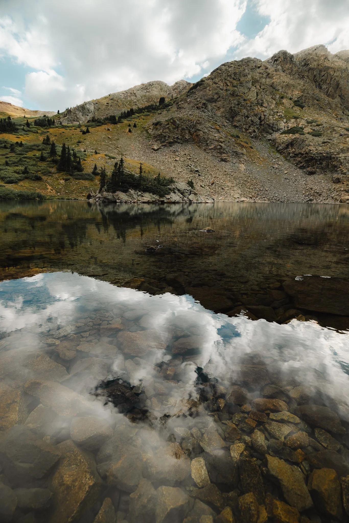
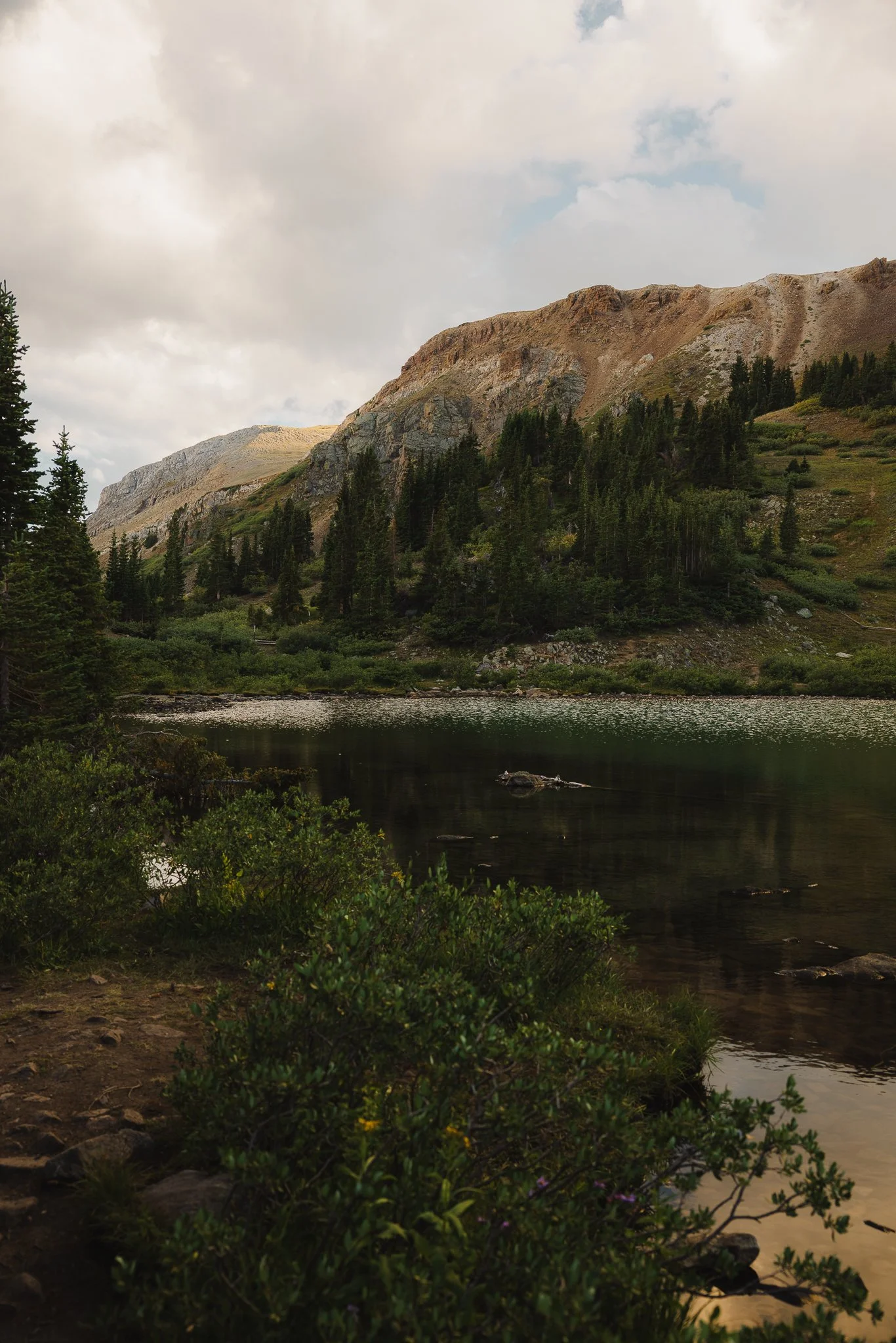
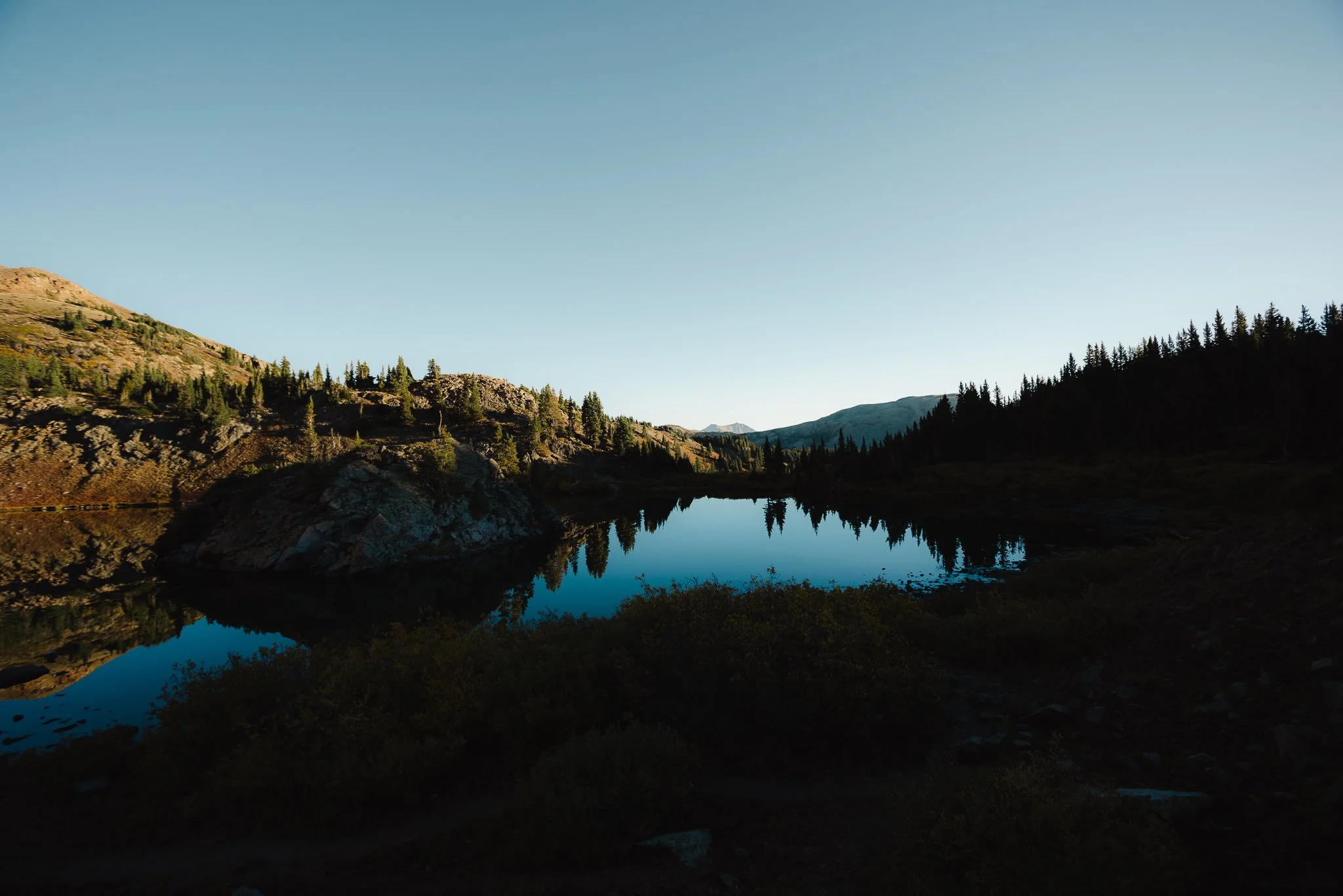
Once you make it to the lake hangout and enjoy the beautiful backdrop surrounding this area. The most scenic view in my opinion is actually towards the back of the lake.
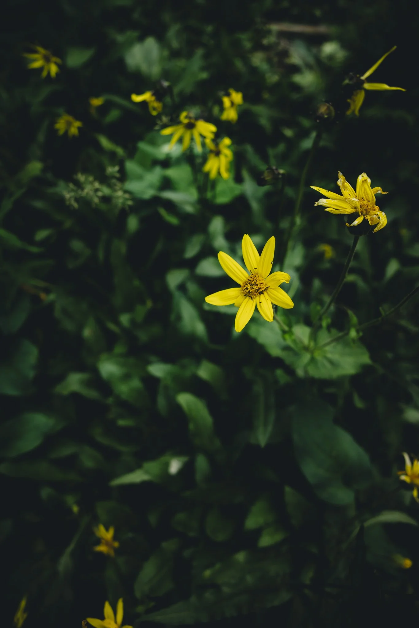
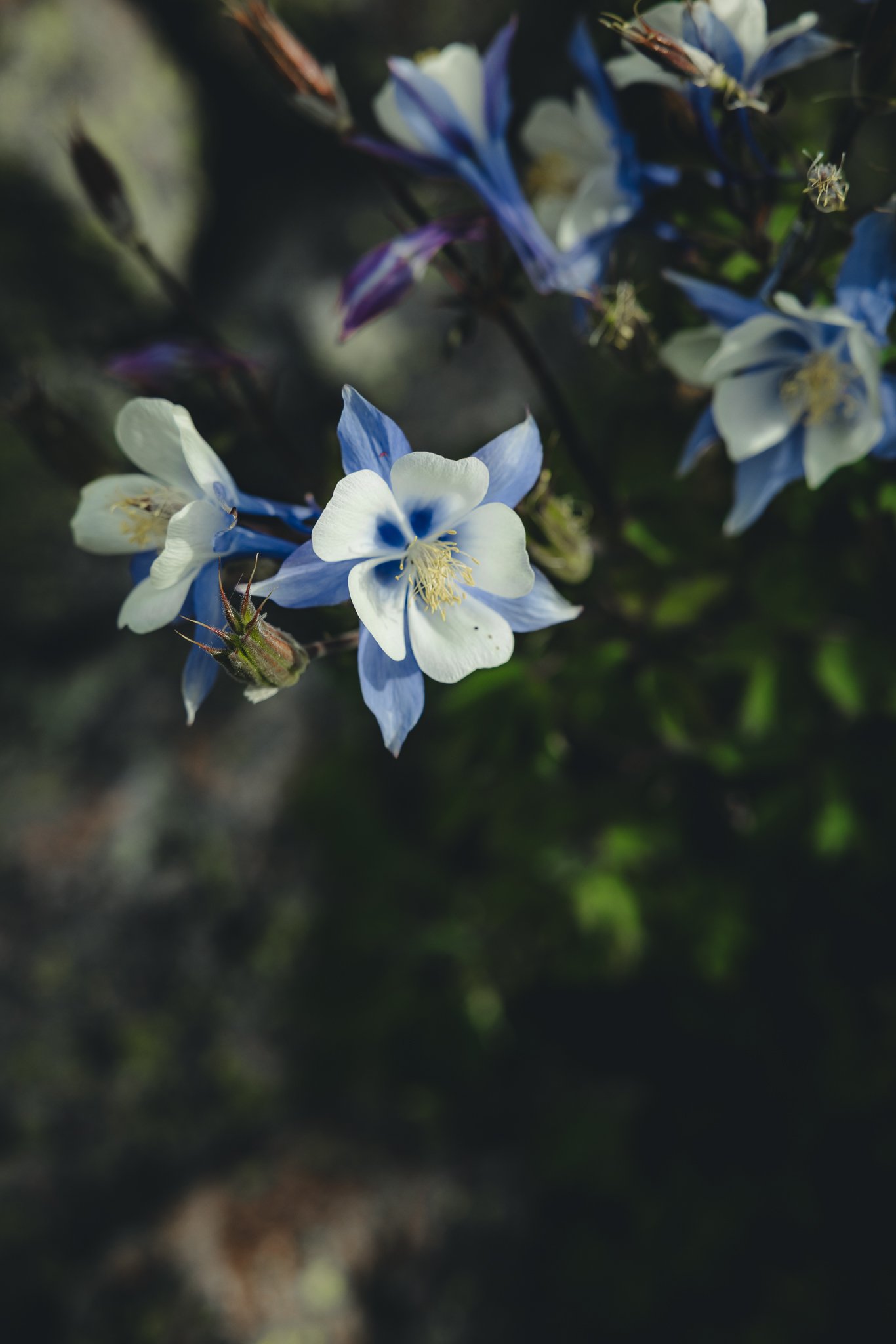
Are there Wildflowers on this Hike
In the summer there are! From Mid June until Late July is the best time to catch wildflowers here. Although there aren’t many you will still see some along the way as you hike up to the lakes.
When is the best time to hike Lost Lake
In the summer and fall, from about late June-through the end of September. I like fall the most with this hike because of all the golden colors around the lake. You won’t be able to do this hike in the winter because Cottonwood Pass will close!
Can you Fish and/or Camp at the top
Fishing is permitted as long as you have a Colorado fishing license. However there is no dispersed camping allowed at the top of the lake. Also, please follow the signage that is posted around the lake to make sure people stay on the trail. The reason Lost Lake was recently rerouted was because of heavy erosion and damage to the surrounding natural habitat.


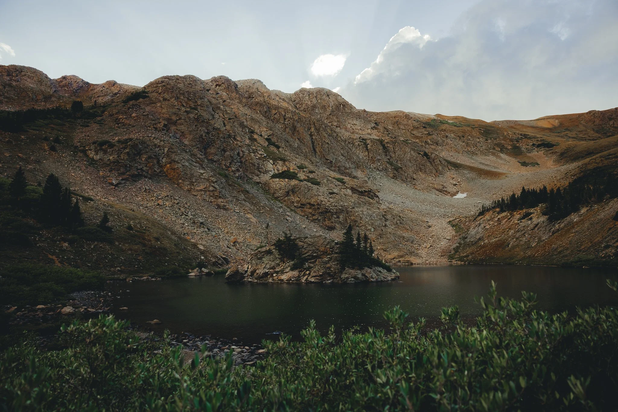
What makes this hike so special
The lake is different then any other high alpine lake I’ve seen in Colorado with a rock type island in the middle and a turquoise blue type color. The color comes from different mineral deposits in the area. At sunrise there more than likely won’t be anyone up at the lake, which is what makes it even more surreal. The majority of people will do sunrise hikes for local 14ers such as Mt. Princeton or Mt. Yale.
What should we pack
It depends on the time of year and time of day that you go, but for a sunrise hike I listed items that I wore below
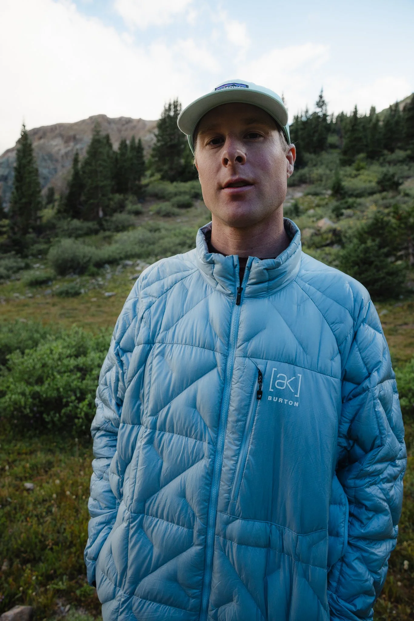
Burton AK Baker down Jacket- It was pretty cold when I hike it so used the Expedition Baker Down, however there are other options for a down jacket, such as the midweight Baker down, great for the majority of sunrise or sunset hikes.
Hiking boots- Your Local REI or outdoor store should be able to get you fitted. I recently bought a pair of La Sportiva’s and really like them
Rain Jacket- Just in case, you never know when weather will roll through in the mountains
Hiking Pants- Anything lightweight that has stretch will work great. I personally like Fjallraven outdoor pants.
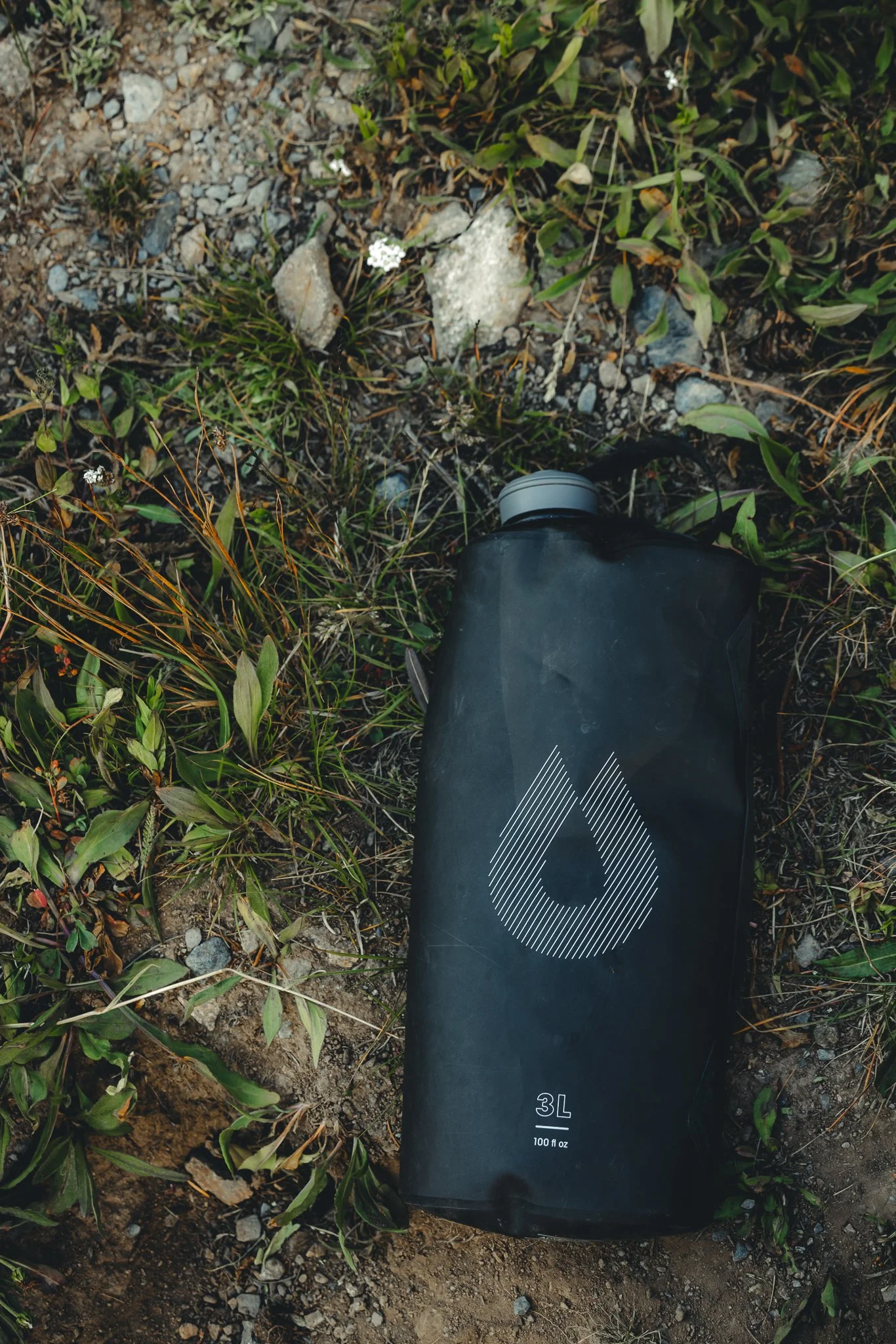
Water Bottle- Stay Hydrated!
Sunscreen- Gotta apply sunscreen at least 15 minutes before you go hiking! I personally like Sun Bum because it is none-greasy.

Looking for other outdoor adventure in Buena Vista? Check out, how to spend 4 days in BV Colorado. If you have any questions or info to add drop a comment below and I’ll see you on the next post!

Meet Jeremiah
Growing up, I loved being outside. I took a lot of cool trips with my family, whether it was camping, going to the beach, road trips, and national parks. Even though I didn’t fully appreciate those experiences at the time, as I got older I started getting more into the outdoors and traveling, reconnecting with my past. The feeling of traveling or going somewhere new always seems to give a sense of excitement or adventure.
Snowboarding and boardsports in general have been a passion of mine for over 20 years. I always loved the culture that came with it; from local retail shops to magazines and videos, to riding with friends as well as geeking out on the latest gear, it’s all part of the experience. After working in snowboard/outdoor gear shops for the past decade along with traveling to different outdoor places, I decided to put all of that experience in digital form to inspire and connect with other people.